
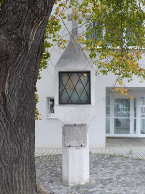
Wayside Shrine, Wayside Shrine in Traiskirchen from 1650 or earlier
Location: Traiskirchen
Address: Wiener Neustädter Straße
GPS coordinates: 48.01254,16.29684
Latest update: October 17, 2025 10:40

Arkadia Traiskirchen Lions
734 m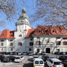
Schloss Tribuswinkel
1.9 km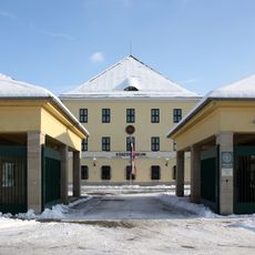
Stadtmuseum Traiskirchen
2 km
Schlössl Möllersdorf
1.4 km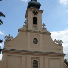
St. Margareta (Traiskirchen)
562 m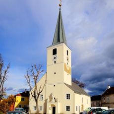
Saint Nicholas Church
198 m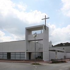
Pfarrkirche Möllersdorf
1.6 km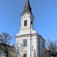
Church Tribuswinkel
2.1 km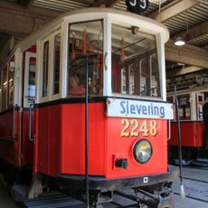
Traiskirchen tram depot
783 m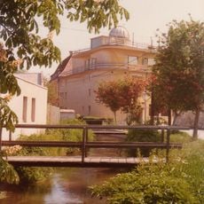
Franz-Kroller-Sternwarte
229 m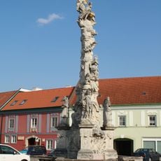
Pestsäule Traiskirchen
191 m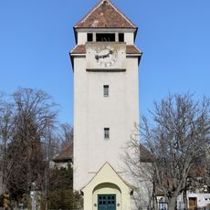
Evangelische Pfarrkirche Traiskirchen
709 m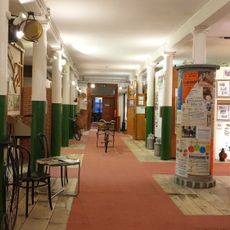
Museum der Stadt Traiskirchen
2 km
Maria-Hilf-Kapelle
497 m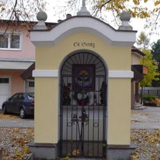
Flur-/Wegkapelle
979 m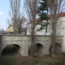
Pfarrhofbrücke und Wehrmauer mit Graben
594 m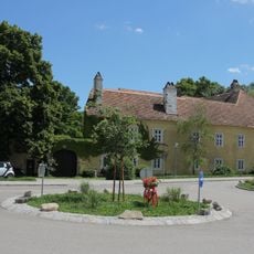
Ferschnermühle
800 m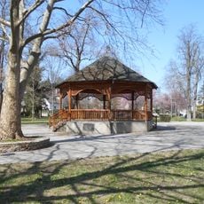
Stadtpark Traiskirchen
159 m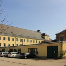
Vöslauer Kammgarnfabrik, Werk Möllersdorf
2 km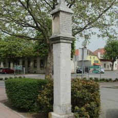
Bildstock
1.6 km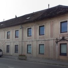
Ehemaliger Einkehrgasthof Zur Hl. Dreifaltigkeit
509 m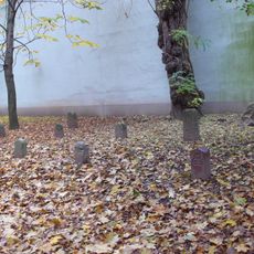
Eleven Boundary Stones
37 m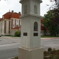
Bildstock
1.1 km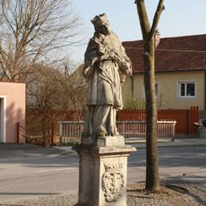
Figurenbildstock hl. Johannes Nepomuk
2.1 km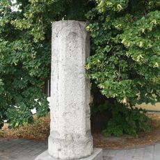
Bildstock Römerstein
2.1 km
Pfarrhof Traiskirchen
598 m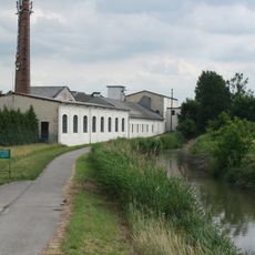
Wiener Neustädter Kanal
1.9 km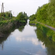
Wiener Neustädter Kanal
1.9 kmReviews
Visited this place? Tap the stars to rate it and share your experience / photos with the community! Try now! You can cancel it anytime.
Discover hidden gems everywhere you go!
From secret cafés to breathtaking viewpoints, skip the crowded tourist spots and find places that match your style. Our app makes it easy with voice search, smart filtering, route optimization, and insider tips from travelers worldwide. Download now for the complete mobile experience.

A unique approach to discovering new places❞
— Le Figaro
All the places worth exploring❞
— France Info
A tailor-made excursion in just a few clicks❞
— 20 Minutes