
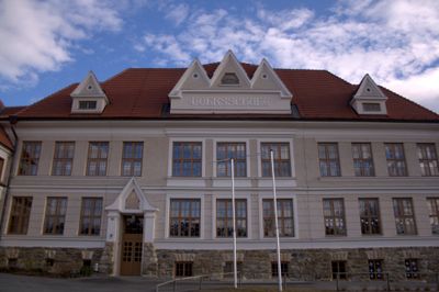
Volksschule, building in Dechantskirchen, Austria
Location: Dechantskirchen
Address: Dechantskirchen 49
GPS coordinates: 47.41722,16.02099
Latest update: March 14, 2025 01:43
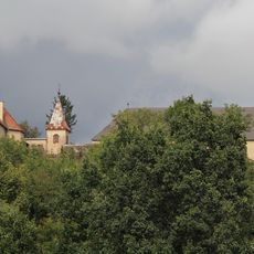
Burg Thalberg
1.2 km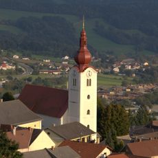
Pfarrkirche hl. Jakobus, Friedberg
4 km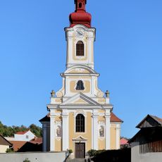
Wallfahrtskirche Maria Hasel, Pinggau
4.5 km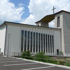
Pfarrkirche hl. Joseph der Arbeiter, Rohrbach an der Lafnitz
3.9 km
Pfarrkirche Dechantskirchen
245 m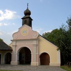
Heiligbrunnkapelle Pinggau
4.5 km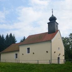
Kath. Pfarrkirche hl. Nikolaus
4.8 km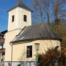
Ortskapelle Herz Jesu
3.7 km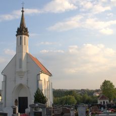
Friedhofskapelle Gekreuzigter Heiland
4 km
Ortskapelle Mariahilf
5.4 km
St. Sebastian's Chapel
2.5 km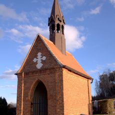
Friedhofskapelle Dechantskirchen
410 m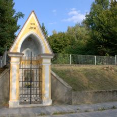
Wegkapelle
4.5 km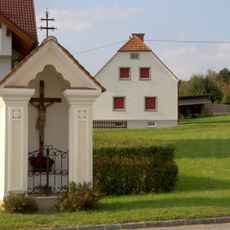
Flur-/Wegkapelle
4.7 km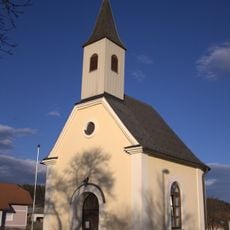
Ortskapelle
1.8 km
Lafnitzbrücke/Zeilbrücke
3.2 km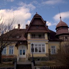
Villa Lehner
80 m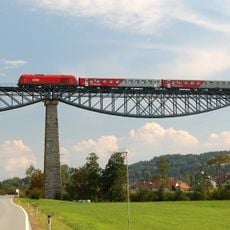
Lafnitzbrücke
3.4 km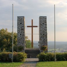
Kriegerdenkmal Friedberg
3.9 km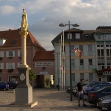
Mariensäule, Friedberg
3.9 km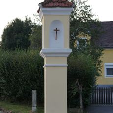
Bildstock
2.6 km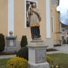
Statue of John of Nepomuk, Pinggau
4.5 km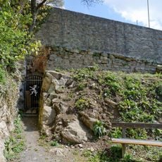
Burgruine Hausburg
3.9 km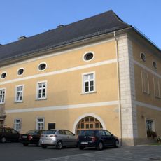
Pfarrhof und Teil der Stadtmauer
4 km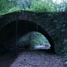
Straßenbrücke, Römerbrücke
5.4 km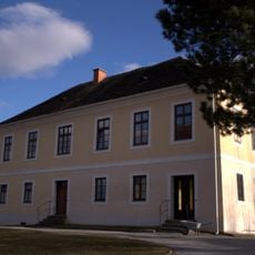
Mesnerhaus Dechantskirchen
281 m
Pfarrhof
211 m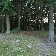
Grabhügel bei Oberwaldbauern
4.2 kmReviews
Visited this place? Tap the stars to rate it and share your experience / photos with the community! Try now! You can cancel it anytime.
Discover hidden gems everywhere you go!
From secret cafés to breathtaking viewpoints, skip the crowded tourist spots and find places that match your style. Our app makes it easy with voice search, smart filtering, route optimization, and insider tips from travelers worldwide. Download now for the complete mobile experience.

A unique approach to discovering new places❞
— Le Figaro
All the places worth exploring❞
— France Info
A tailor-made excursion in just a few clicks❞
— 20 Minutes