
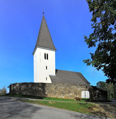
Subsidiary church Saint Giles, Lading, cemetery in Wolfsberg, Austria
Location: Wolfsberg
Address: Lading
GPS coordinates: 46.83996,14.75113
Latest update: March 9, 2025 15:25
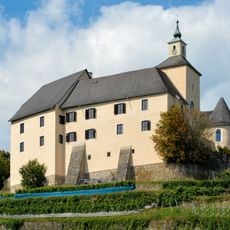
Schloss Thürn, Wolfsberg
4.4 km
Schloss Bayerhofen
6.9 km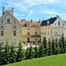
Schloss Weißenau, Wolfsberg
5.1 km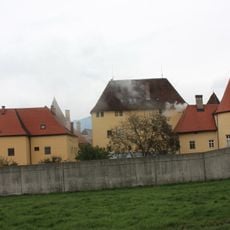
Schloss Himmelau
3.6 km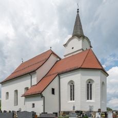
Pfarrkirche hl. Johannes der Täufer, Pölling
5.3 km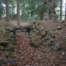
Burgruine Reisberg
3.9 km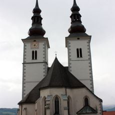
Pfarrkirche St Marein im Lavanttal
6.2 km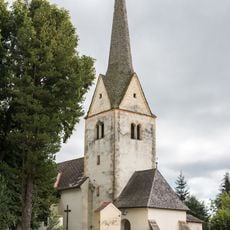
Filialkirche hl. Bartholomäus in Aichberg, Wolfsberg
1.9 km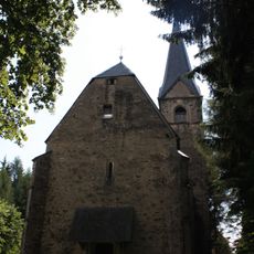
Filialkirche St Leonhard an der Saualpe
6.6 km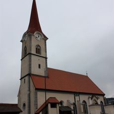
Pfarrkirche St Margarethen im Lavanttal
4.4 km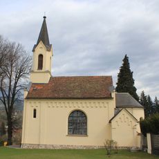
Evangelische Kirche Wolfsberg
6.4 km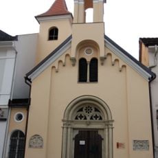
Dreifaltigkeitskirche Wolfsberg
6.9 km
Filialkirche Wolfsberg-St Jakob
6.2 km
Filialkirche hl. Primus, Preims
6.6 km
Filialkirche hl. Nikolaus, Siegelsdorf
4.8 km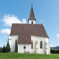
Filialkirche hl. Thomas, Wolfsberg
6.1 km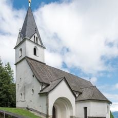
Filialkirche hl. Peter und Paul in Reisberg, Wolfsberg
3.9 km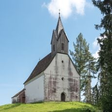
Filialkirche hl. Kunigund in Reisberg, Wolfsberg
4.3 km
Museum im Lavanthaus
6.8 km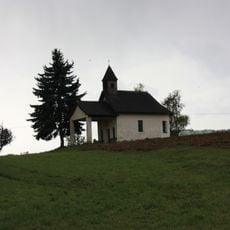
Kreuzkapelle
3.6 km
Floriani-Brunnen
6.9 km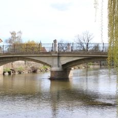
Straßenbrücke, Radlstegbrücke
7 km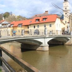
Radlstegbrücke Wolfsberg
7 km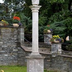
Marian column St. Marein, Wolfsberg
6.2 km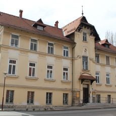
Volksbad Wolfsberg
6.7 km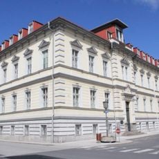
Bezirkshauptmannschaft
6.8 km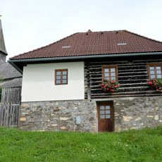
Pfarrhof, Kaplanei
6.6 km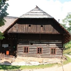
Bauernhaus, Petutschnig
6.7 kmVisited this place? Tap the stars to rate it and share your experience / photos with the community! Try now! You can cancel it anytime.
Discover hidden gems everywhere you go!
From secret cafés to breathtaking viewpoints, skip the crowded tourist spots and find places that match your style. Our app makes it easy with voice search, smart filtering, route optimization, and insider tips from travelers worldwide. Download now for the complete mobile experience.

A unique approach to discovering new places❞
— Le Figaro
All the places worth exploring❞
— France Info
A tailor-made excursion in just a few clicks❞
— 20 Minutes