
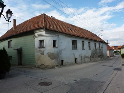
Bauernhof, human settlement in Austria
Location: Mautern an der Donau
Address: Mauternbach 10
GPS coordinates: 48.38444,15.56027
Latest update: March 22, 2025 13:55
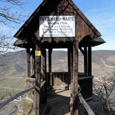
Ferdinand-Warte
1.4 km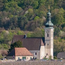
Parish church St. Quirinus
1.5 km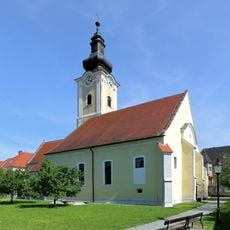
Pfarrkirche Mautern an der Donau
1.6 km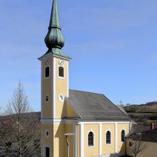
Pfarrkirche Unterbergern
1.2 km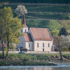
Filialkirche Hundsheim
444 m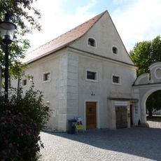
Ehem. Schüttkasten, sog. Römermuseum
1.6 km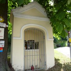
Wegkapelle
233 m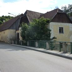
Bauernhof (Anlage)
177 m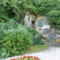
Kriegerdenkmal Mauternbach
246 m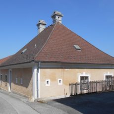
Former rectory Unterbergern
1.3 km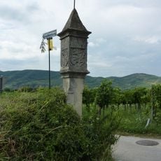
Bildstock Baumgarten bei Mautern Nord
1.6 km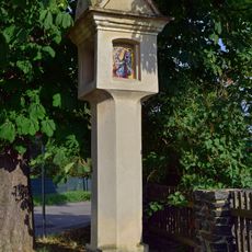
Mautern Melkerstraße Bildstock
1.4 km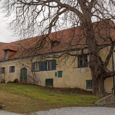
Ehem. Hauerhof „Dinstl-Gut“
1.3 km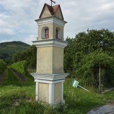
Bildstock, Ladoschenkreuz
811 m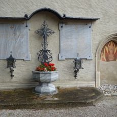
Kriegerdenkmal
1.5 km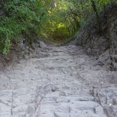
Römerstraße Mauternbach
320 m
Essigfabrik, ehem. Kremsmünstererhof und Teil des römischen Kastells
1.5 km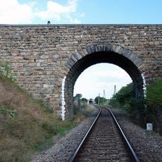
Eisenbahnstrecke der Wachauer Bahn
1.3 km
Pfarrhof Mautern an der Donau
1.5 km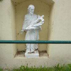
Bildstock Nepomuk Förthof
1.4 km
Ehem. St. Pöltner Hof
175 m
Pichlhof
994 m
Mauternbach 6
87 m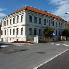
Volksschule
1.5 km
Pfarrhof
1.4 km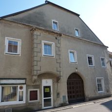
Bürgerhaus und Teil des römischen Kastells
1.6 km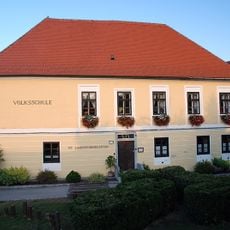
Schule
1.5 km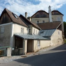
Mauternbach 18
165 mReviews
Visited this place? Tap the stars to rate it and share your experience / photos with the community! Try now! You can cancel it anytime.
Discover hidden gems everywhere you go!
From secret cafés to breathtaking viewpoints, skip the crowded tourist spots and find places that match your style. Our app makes it easy with voice search, smart filtering, route optimization, and insider tips from travelers worldwide. Download now for the complete mobile experience.

A unique approach to discovering new places❞
— Le Figaro
All the places worth exploring❞
— France Info
A tailor-made excursion in just a few clicks❞
— 20 Minutes