
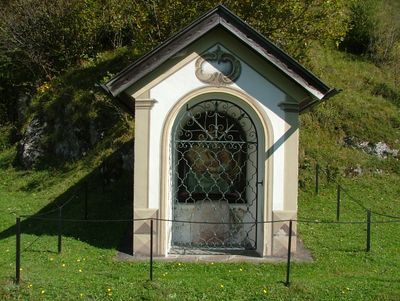
Wayside chapel Unterpinswang, chapel in Pinswang, Austria
Location: Pinswang
Address: bei Unterpinswang 17
GPS coordinates: 47.54644,10.67611
Latest update: October 17, 2025 10:39

Walderlebniszentrum Ziegelwies
1.8 km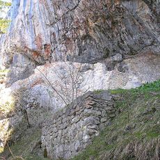
Burg Loch
240 m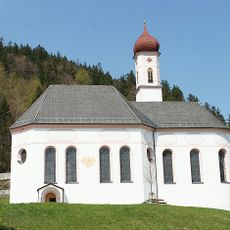
Pfarrkirche hl. Ulrich, Pinswang
534 m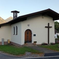
St. Joachim and Anna chapel
2.2 km
Schutz von Landschaftsteilen im Bereich des Faulenbacher Tales, des Lechtales, des Schwanseetales und des Alpseegebietes im Landkreis Füssen
1.9 km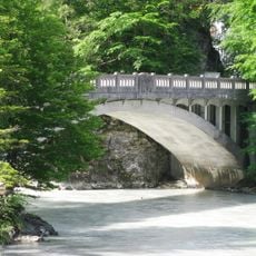
Ulrichsbrücke Vils-Pinswang
1 km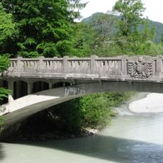
Ulrichsbrücke über den Lech
1 km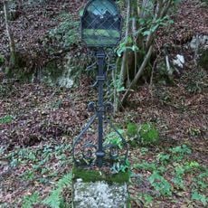
Marterl am Kratzerweg
443 m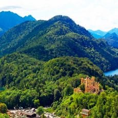
Schwarzenberg
1.1 km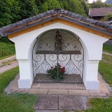
Nischenbildstock Unterpinswang 59
1.4 km
Vilser Berg
2.1 km
Rote Wand
731 m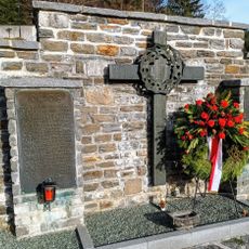
War memorial, Pinswang
539 m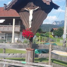
Wayside cross Musau-Platte
1.2 km
Gedenktafel Steinwände
1.1 km
Alpenrandquellseen
2.2 km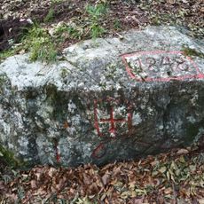
Vermessungsstein beim Stiglberg
615 m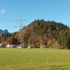
Stiglberg
717 m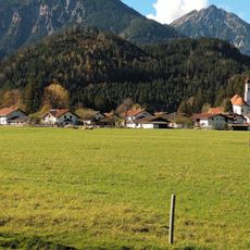
Ranzen
1.6 km
Harnischfläche W von Bad Faulenbach
2.1 km
Boundary marking Ländeweg
1.3 km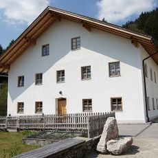
Pfarrhaus Pinswang
545 m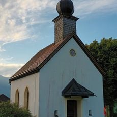
Mariahilfkapelle Musau
1.3 km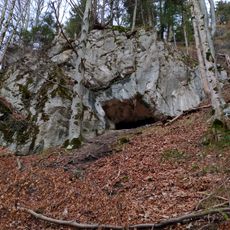
Cultural heritage D-7-8430-0002 in Füssen
1.3 km
Ancillary building of border inn Weisshaus
1.3 km
Wayside cross at parish church
525 m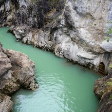
Falkenstein, Alatsee, Faulenbacher- und Lechtal
1.7 km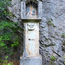
Bildstock am Weg zum Kratzer
317 mReviews
Visited this place? Tap the stars to rate it and share your experience / photos with the community! Try now! You can cancel it anytime.
Discover hidden gems everywhere you go!
From secret cafés to breathtaking viewpoints, skip the crowded tourist spots and find places that match your style. Our app makes it easy with voice search, smart filtering, route optimization, and insider tips from travelers worldwide. Download now for the complete mobile experience.

A unique approach to discovering new places❞
— Le Figaro
All the places worth exploring❞
— France Info
A tailor-made excursion in just a few clicks❞
— 20 Minutes