
Sinkersee, lake in East Tyrol, Austria
Location: Innervillgraten
Elevation above the sea: 1,579 m
GPS coordinates: 46.83664,12.33333
Latest update: March 30, 2025 04:44

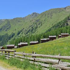
Oberstalleralm
2.8 km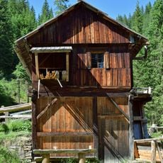
Venezianergattersäge Innervillgraten
924 m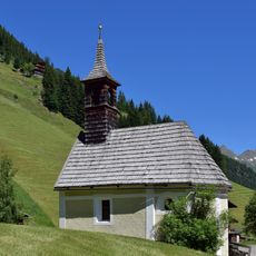
Maxerkapelle
2.5 km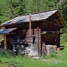
Lodenstampfe
970 m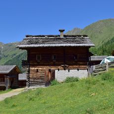
Oberstalleralm
2.8 km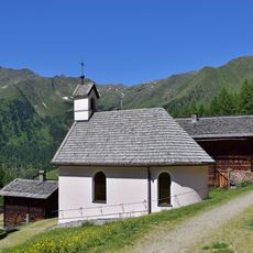
Schutzengelkapelle Oberstalleralm
2.8 km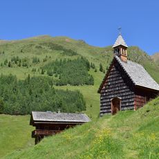
Fatima-Kapelle Kamelisenalm
1 km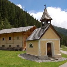
Kapelle hll. Chrysanth und Daria, Innervillgraten
2.2 km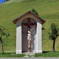
Bildstock Eggenberg, Innervillgraten
2.3 km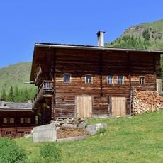
Almhütte vulgo Peintner
2.9 km
Almhütte vulgo Unter-Haider
2.8 km
Almhütte vulgo Inner-Obergruber
2.8 km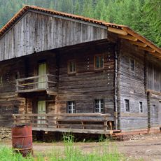
Einhof "Innerneuhauser" im Bereich des Freilichtmuseums Wegelate Säge
938 m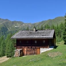
Almhütte vulgo Unter-Untergruber
2.9 km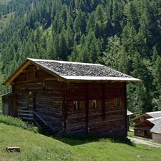
Almhütte vulgo Inner-Ober-Gruber
2.9 km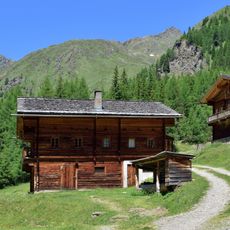
Almhütte vulgo Außer-Walder
2.9 km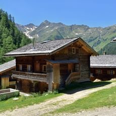
Almhütte vulgo Mitter-Gasser
2.8 km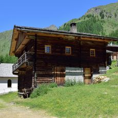
Almhütte
2.8 km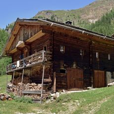
Almhütte vulgo Groß-Bachlet
2.8 km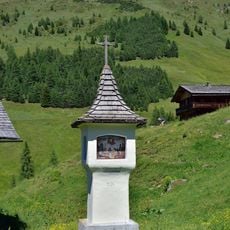
Bildsäule Kamelisenalm
1 km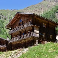
Almhütte vulgo Außer-Obergruber
2.8 km
Almhütte
2.9 km
Almhütte vulgo Unter-Milet
2.8 km
Almhütte vulgo Mitter-Bachlet
2.9 km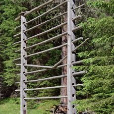
Lodenharpfe
977 m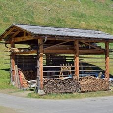
Innerkleinbachletharpfe
2.7 km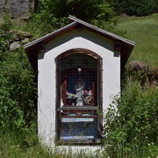
Eggerbildstock
2.5 km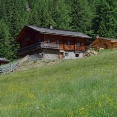
Almhütte
2.9 kmReviews
Visited this place? Tap the stars to rate it and share your experience / photos with the community! Try now! You can cancel it anytime.
Discover hidden gems everywhere you go!
From secret cafés to breathtaking viewpoints, skip the crowded tourist spots and find places that match your style. Our app makes it easy with voice search, smart filtering, route optimization, and insider tips from travelers worldwide. Download now for the complete mobile experience.

A unique approach to discovering new places❞
— Le Figaro
All the places worth exploring❞
— France Info
A tailor-made excursion in just a few clicks❞
— 20 Minutes