
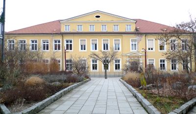
Volksschule Frohnleiten, Schulgebäude in der Steiermark
Location: Frohnleiten
Address: Schulweg 1
GPS coordinates: 47.26921,15.32024
Latest update: April 30, 2025 11:52
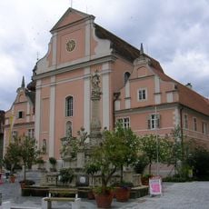
Frohnleitner Pfarrkirche
326 m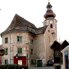
Former Katharinenkirche, Frohnleiten
326 m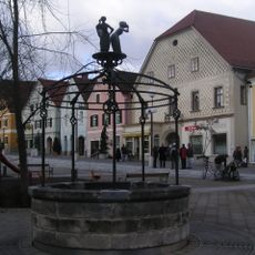
Brunnen
478 m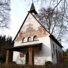
Bergkirche Frohnleiten
425 m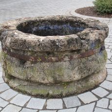
Brunnen
530 m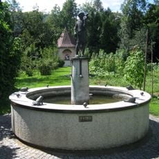
Franziskus-Brunnen
214 m
Feuerwehrgebäude
351 m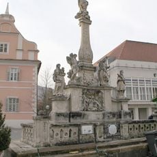
Maria column Frohnleiten
365 m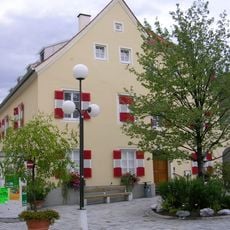
Bezirksgericht, ehem. Rathaus
371 m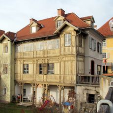
Ehem. Mauthaus
305 m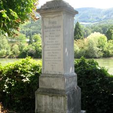
Rumpelmaier-Denkmal
541 m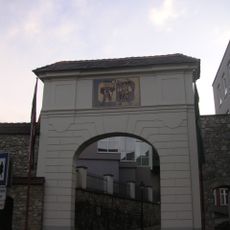
Leobner Tor
342 m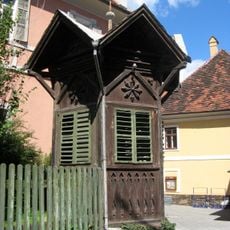
Pavillon
335 m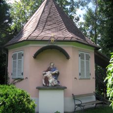
Gartenhaus und Figurenbildstock Pietà
178 m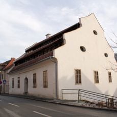
Sogen. Gerberhaus
277 m
Sog. Payerhof (ehem. Notarhaus)
322 m
Wohn- und Geschäftshaus, Brückenkopf 2
305 m
Bürgerhaus
349 m
Ehem. Engelwirtshaus
449 m
Torbau, ehem. Tabor
339 m
Wohnhaus, ehem. Gemeindeamt Mauritzen
480 m
Wohnhaus und Wirtschaftsgebäude
509 m
Wohnhaus
241 m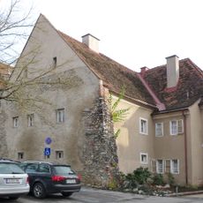
Wohnhaus, ehem. Gefängnis
393 m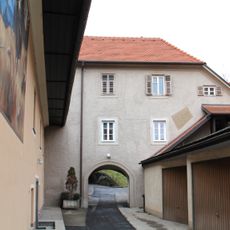
Wohnhaus und Wirtschaftsgebäude
277 m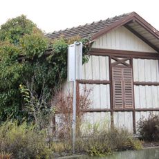
Flickhütte
482 m
Franziskanerkloster
305 m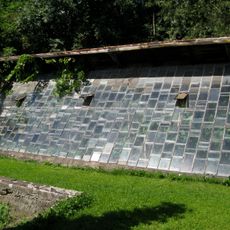
Glashaus
214 mVisited this place? Tap the stars to rate it and share your experience / photos with the community! Try now! You can cancel it anytime.
Discover hidden gems everywhere you go!
From secret cafés to breathtaking viewpoints, skip the crowded tourist spots and find places that match your style. Our app makes it easy with voice search, smart filtering, route optimization, and insider tips from travelers worldwide. Download now for the complete mobile experience.

A unique approach to discovering new places❞
— Le Figaro
All the places worth exploring❞
— France Info
A tailor-made excursion in just a few clicks❞
— 20 Minutes