
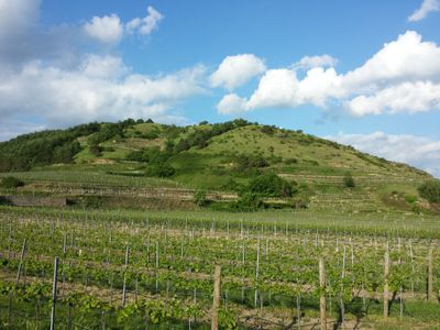
Höhereck, protected area in Austria (3133)
Location: Dürnstein
Inception: 2008
GPS coordinates: 48.39472,15.53333
Latest update: March 5, 2025 19:43
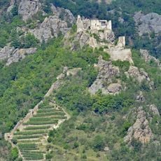
Dürnstein castle ruins
912 m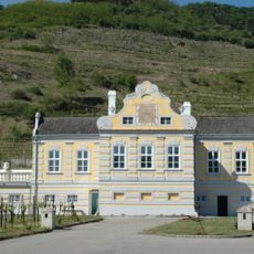
Domäne Wachau
515 m
Kellerschlössl Dürnstein
425 m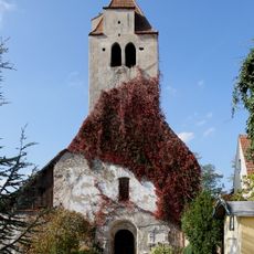
Kunigundenkirche Dürnstein
899 m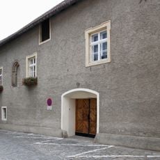
Ehem. Pfarrhof der Kunigundenkirche und Presshaus
918 m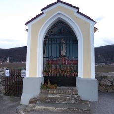
Michaelerkreuz Unterloiben
491 m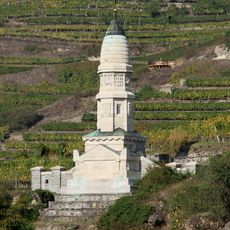
Franzosendenkmal, Dürnstein
398 m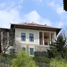
Villa
926 m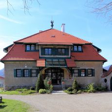
Villa Lindenstöckel Oberloiben
779 m
Kremser Tor
898 m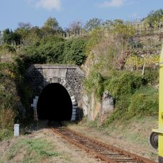
Eisenbahnstrecke, Wachauer Bahn
598 m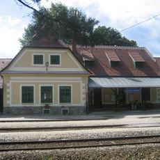
Station building and loading platform of the Dürnstein-Oberloiben railway station
632 m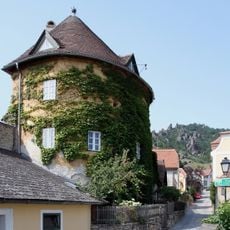
Bastion Dürnstein 67
869 m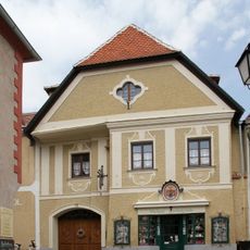
Bürgerhaus Dürnstein 19
921 m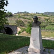
Persönlichkeitsdenkmal Ingenieur August Kargl
754 m
Bürgerhaus und Stadtmauerteil
886 m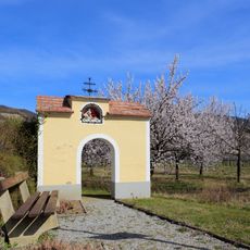
Ratscherkreuz Oberloiben
689 m
Schiffmeisterhaus (Dürnstein)
939 m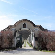
Ehem. Gartenportal
696 m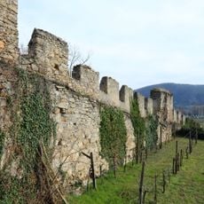
Stadtmauerteil
884 m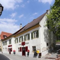
Former Poststation
918 m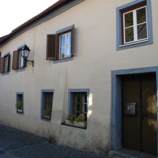
Handwerkerhaus Dürnstein 12 u. 12a
926 m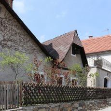
Winzerhaus und Stadtmauerteil
873 m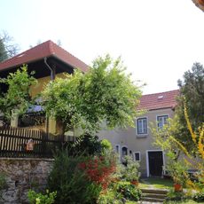
Bürgerhaus
937 m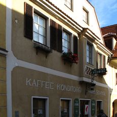
Bürgerhaus Dürnstein 20
930 m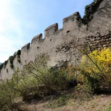
Stadtmauerteil bei der Ruine
883 m
Ehem. Torwächterhaus, Hüterhaus
907 m
Bürgerhaus, Dürnstein 15
882 mReviews
Visited this place? Tap the stars to rate it and share your experience / photos with the community! Try now! You can cancel it anytime.
Discover hidden gems everywhere you go!
From secret cafés to breathtaking viewpoints, skip the crowded tourist spots and find places that match your style. Our app makes it easy with voice search, smart filtering, route optimization, and insider tips from travelers worldwide. Download now for the complete mobile experience.

A unique approach to discovering new places❞
— Le Figaro
All the places worth exploring❞
— France Info
A tailor-made excursion in just a few clicks❞
— 20 Minutes