
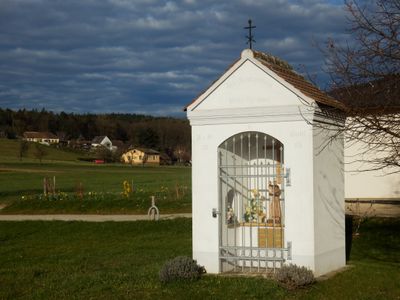
Antoniusmarterl, Bildstock im Untertautendorferamt, Gemeinde St. Leonhard am Hornerwald
Location: Sankt Leonhard am Hornerwald
Inception: 1861
GPS coordinates: 48.56834,15.59924
Latest update: October 17, 2025 10:40
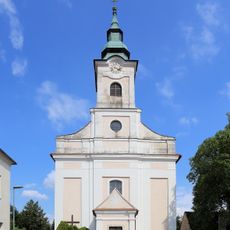
Pfarrkirche Tautendorf
1.9 km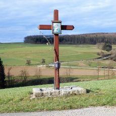
Schütz-Kreuz
995 m
Tautendorfer Pestkreuz
2.2 km
Bildbaum in der Moosau
1.8 km
Wolfsgleidmarterl
891 m
Zaiserkreuz
1.7 km
Wachtbiglkreuz
1.5 km
Zigeunerkreuz
1.7 km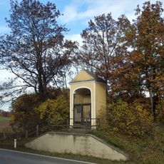
Hahnkreuz, Wolfshoferamt
3 km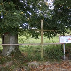
Holzkreuz in den Buchberger Waldhütten
3.2 km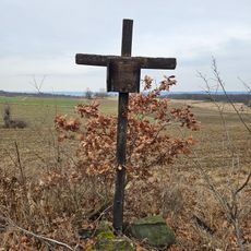
Wayside cross near Tautendorf
2.4 km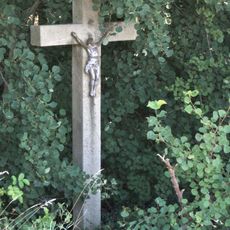
Widhalm-Kreuz
3 km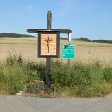
Holzkreuz am Wachtbigl
1.5 km
Schachinger-Marterl
2.3 km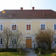
Pfarrhof
1.9 km
Holzkreuz, Tautendorf
2 km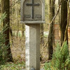
Dorrek-Kreuz
1.1 km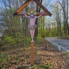
Blechener Herrgott
812 m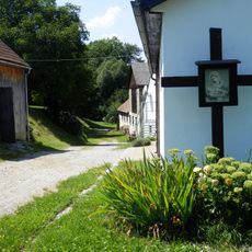
Holzkreuz in Tautendorf
1.8 km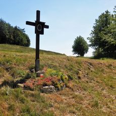
Kreuz in der Moosau
2.1 km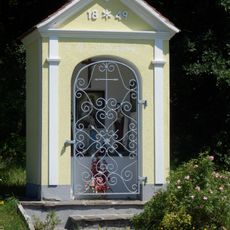
Steinboeckmarterl
894 m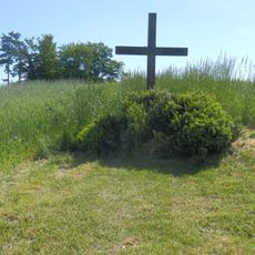
Fallmannkreuz
2.6 km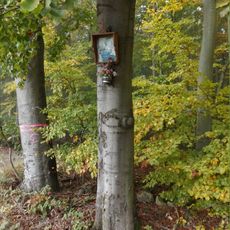
Steiner-Bildbaum
2.8 km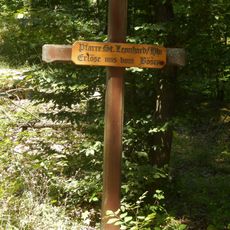
Pfarrgrenzkreuz St. Leonhard/Hornerwald - Gars am Kamp
3 km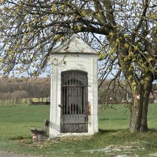
Aschauer-Kreuz
1.3 km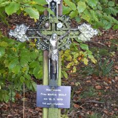
Wolf-Kreuz
2.4 km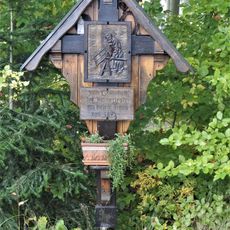
Zimmermannskreuz
2.9 km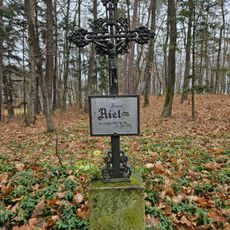
Wayside cross in Buchberger Waldhütten
2.4 kmReviews
Visited this place? Tap the stars to rate it and share your experience / photos with the community! Try now! You can cancel it anytime.
Discover hidden gems everywhere you go!
From secret cafés to breathtaking viewpoints, skip the crowded tourist spots and find places that match your style. Our app makes it easy with voice search, smart filtering, route optimization, and insider tips from travelers worldwide. Download now for the complete mobile experience.

A unique approach to discovering new places❞
— Le Figaro
All the places worth exploring❞
— France Info
A tailor-made excursion in just a few clicks❞
— 20 Minutes