
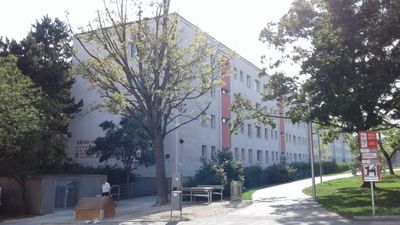
Käthe-Jonas-Hof, Gemeindebau in Wien
Location: Penzing
Inception: 1962
Official opening: 1964
Address: Waidhausenstraße 28 1140
GPS coordinates: 48.19857,16.28197
Latest update: March 9, 2025 05:29
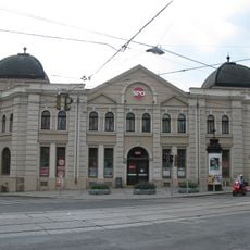
Baumgartner Casino
438 m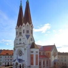
Parish church Baumgarten
417 m
Former school on Kinkplatz
367 m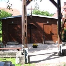
Fatimakirche
734 m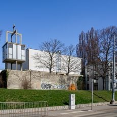
Oberbaumgartner Pfarrkirche
768 m
Wohnhausanlage Linzer Straße 254
329 m
Miethäuser Severin Tesar
108 m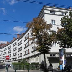
Bela-Somogyi-Hof
769 m
Guldenbrücke
736 m
Wohnhausanlage Hütteldorfer Straße 265-267
188 m
Public Library Breitnerhof
789 m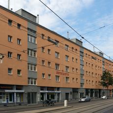
Wohnhausanlage Linzer Straße 243-251
502 m
Wohnhausanlage Hütteldorfer Straße 252
520 m
Straßenbrücke, Preindlsteg über den Wienfluß und U4 (KG Oberbaumgarten)
762 m
Preindlsteg über den Wienfluß und U4 (KG Ober St. Veit)
762 m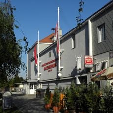
Gartensiedlung Flötzersteig
822 m
Anton-Figl-Hof
565 m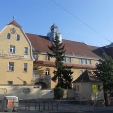
Schule der Stadt Wien
422 m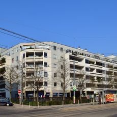
Wohnhausanlage Linzer Straße 174-180
770 m
Wohnhausanlage Hütteldorfer Straße 268-276
665 m
Wohnhausanlage Hochsatzengasse 6
682 m
Wohnhausanlage Linzer Straße 253-255
441 m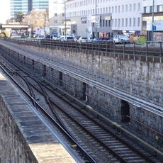
Ehem. Stadtbahn – Teilbereich der heutigen U4 in der KG Unter St. Veit
765 m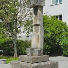
Schreitender Mann (Josef Pillhofer)
80 m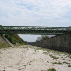
Preindlsteg
762 m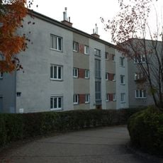
Wohnhausanlage Niederpointenstraße 7
819 m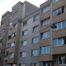
Wohnhausanlage Salisstraße 5-15
232 m
Wohnhausanlage Baumgartenstraße 25-33
533 mVisited this place? Tap the stars to rate it and share your experience / photos with the community! Try now! You can cancel it anytime.
Discover hidden gems everywhere you go!
From secret cafés to breathtaking viewpoints, skip the crowded tourist spots and find places that match your style. Our app makes it easy with voice search, smart filtering, route optimization, and insider tips from travelers worldwide. Download now for the complete mobile experience.

A unique approach to discovering new places❞
— Le Figaro
All the places worth exploring❞
— France Info
A tailor-made excursion in just a few clicks❞
— 20 Minutes