
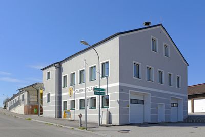
Gemeindeamt Pfaffenschlag bei Waidhofen an der Thaya, Gemeineamt in Niederösterreich
Location: Pfaffenschlag bei Waidhofen
GPS coordinates: 48.84236,15.19153
Latest update: March 9, 2025 00:56
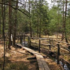
Naturpark Heidenreichsteiner Moor
3.6 km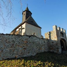
Wehrkirche Kleinzwettl
4.7 km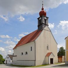
Pfarrkirche Buchbach
2.7 km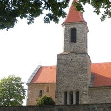
Saint John the Baptist Church
4.3 km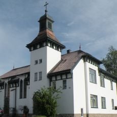
Versöhnungskirche Heidenreichstein
5.4 km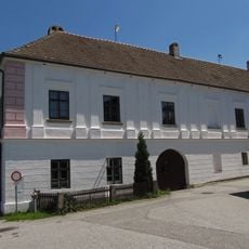
Ehem. Freihof Zum Himmeltor
255 m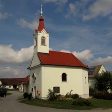
Ortskapelle Brunn
4.6 km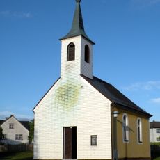
Ortskapelle Motten
3.9 km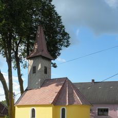
Ortskapelle Guttenbrunn
4.6 km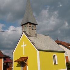
Ortskapelle Haslau
5.3 km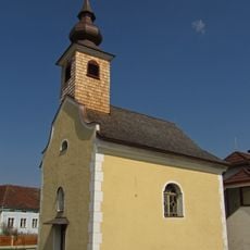
Ortskapelle Großgerharts
5.6 km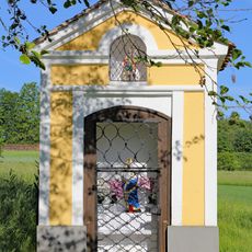
Flur-/Wegkapelle
2.4 km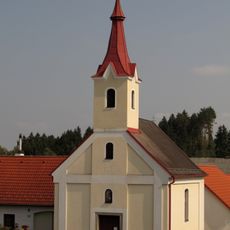
Ortskapelle Großeberharts
2.2 km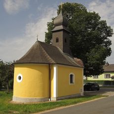
Ortskapelle Eggmanns
5.6 km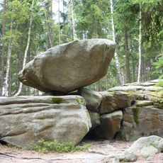
Hängender Stein
3.9 km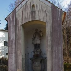
Johannes Nepomuk-Kapelle
5.5 km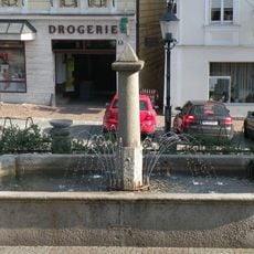
Brunnen
5.7 km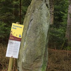
Steinernes Weib ("Stone Woman")
4.4 km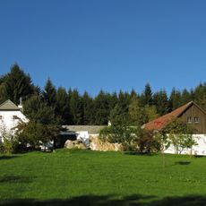
Ehem. Bauernhof
2.3 km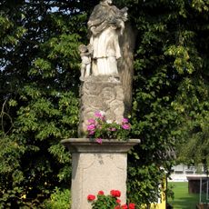
Figurenbildstock hl. Johannes Nepomuk
422 m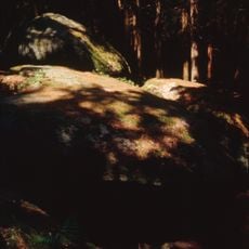
Rock formation "Grasl's cave"
4.6 km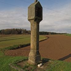
Bildstock
4.9 km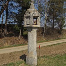
Bildstock
4.1 km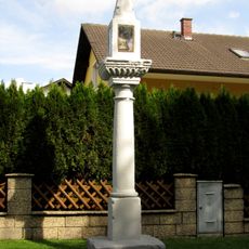
Bildstock
4.8 km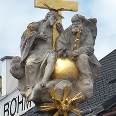
Dreifaltigkeitssäule Heidenreichstein
5.7 km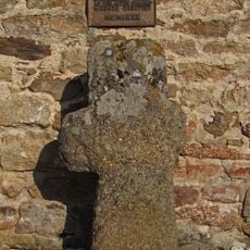
Faltersäule
4.3 km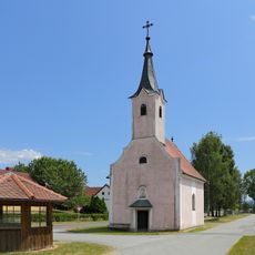
Ortskapelle hl. Anna
5 km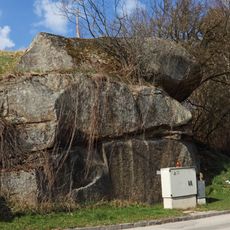
NÖ-Naturdenkmal GD-081 Steingebilde
5.6 kmVisited this place? Tap the stars to rate it and share your experience / photos with the community! Try now! You can cancel it anytime.
Discover hidden gems everywhere you go!
From secret cafés to breathtaking viewpoints, skip the crowded tourist spots and find places that match your style. Our app makes it easy with voice search, smart filtering, route optimization, and insider tips from travelers worldwide. Download now for the complete mobile experience.

A unique approach to discovering new places❞
— Le Figaro
All the places worth exploring❞
— France Info
A tailor-made excursion in just a few clicks❞
— 20 Minutes