
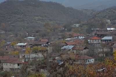
Badara, village in Nagorno-Karabakh
Location: Khojaly District
Elevation above the sea: 471 m
GPS coordinates: 39.92435,46.66273
Latest update: March 28, 2025 22:13
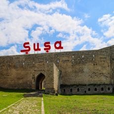
Shusha Fortress
19.2 km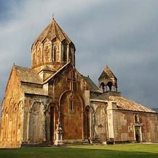
Gandzasar monastery
18.5 km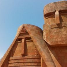
We Are Our Mountains
13.3 km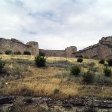
Askeran Fortress
14.4 km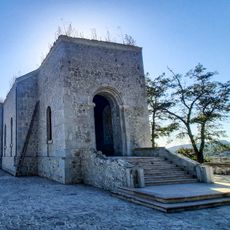
Kanach Zham
19.3 km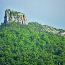
Kachaghakaberd
10.6 km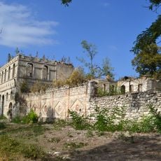
House of Natavan
19.3 km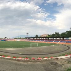
Stepanakert Stadium
13.8 km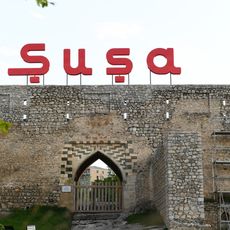
Ganja Gate
19.2 km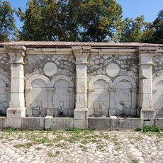
"Khan gizi" spring
19.4 km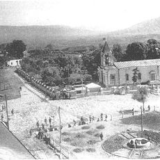
Divankhan Square
19.3 km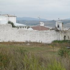
Aghoghlan Gate
19.2 km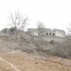
Hakobavank
11.5 km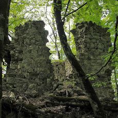
Handaberd
18.6 km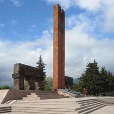
Stepanakert Memorial
15.2 km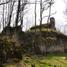
Koshik Anapat
12.2 km
Chol Gala Mosque
19.4 km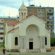
Saint James Church, Stepanakert
14 km
Kocharli Mosque
19.1 km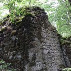
Monastero di Okhti Yeghtsi
6.2 km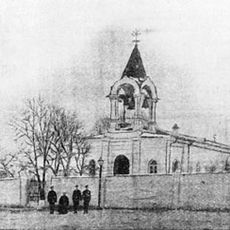
Церковь Георгия Победоносца
19.4 km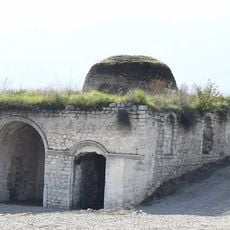
Malibeyli Mosque
14.1 km
Church of the Holy Mother of God
14.8 km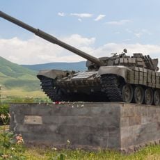
Tank monument of The First Nagorno-Karabakh War
15.9 km
Степанакертская галерея
14.1 km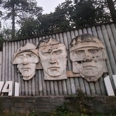
Memorial Complex of the Participants of the Great Patriotic War in Shusha
19 km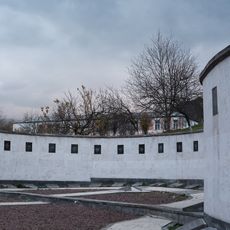
First Nagorno-Karabakh War Memorial
428 m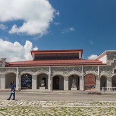
Shusha Fine Art Museum
19.4 kmReviews
Visited this place? Tap the stars to rate it and share your experience / photos with the community! Try now! You can cancel it anytime.
Discover hidden gems everywhere you go!
From secret cafés to breathtaking viewpoints, skip the crowded tourist spots and find places that match your style. Our app makes it easy with voice search, smart filtering, route optimization, and insider tips from travelers worldwide. Download now for the complete mobile experience.

A unique approach to discovering new places❞
— Le Figaro
All the places worth exploring❞
— France Info
A tailor-made excursion in just a few clicks❞
— 20 Minutes