
Jrvzhtik, Wasserfall in Aserbaidschan
Location: Tartar District
Elevation above the sea: 1,073 m
GPS coordinates: 40.34667,46.63833
Latest update: April 9, 2025 06:38
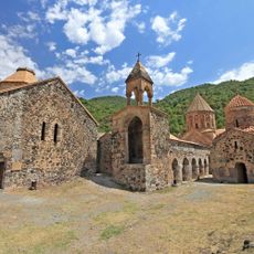
Dadivank Monastery
36.2 km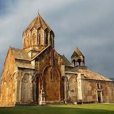
Gandzasar monastery
33.5 km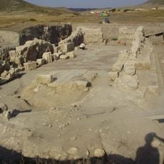
Tigranakert of Artsakh
38.7 km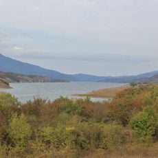
Sarsang Reservoir
19.1 km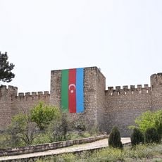
Shahbulag Castle
38.4 km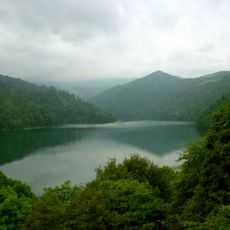
Goygol National Park
22.4 km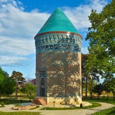
Barda Tower Mausoleum
41.7 km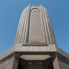
Nizami Mausoleum
41.4 km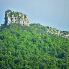
Kachaghakaberd
38 km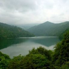
Göygöl National Park
27.6 km
Gulustan Fortress
5.2 km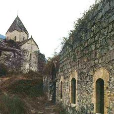
Yerits Mankants Monastery
10.5 km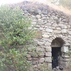
Yeghishe Arakyal Monastery
4.9 km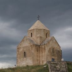
Vankasar church
37.2 km
Tigranakert Fortress
37.2 km
Nizami Gəncəvi Muzeyi
41.4 km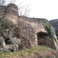
Dschraberd
12.2 km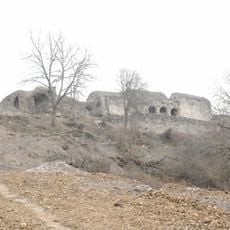
Hakobavank
37 km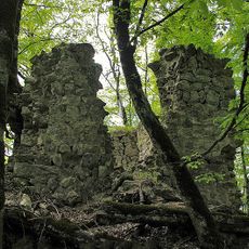
Handaberd
33.5 km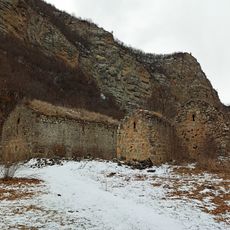
Kusanats Anapat
37.7 km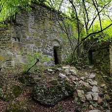
Karmiravan Monastery
29.5 km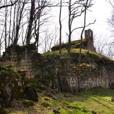
Koshik Anapat
40.3 km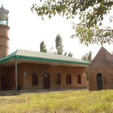
Uğurbəyli məscidi
40.6 km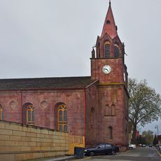
St. John's Church, Goygol
38.1 km
Akhsadan Baba Mausoleum
41.3 km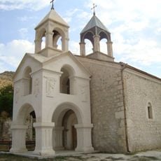
Saint John the Baptist Church
20.6 km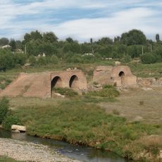
Bridge over Tartar River in Barda
41.7 km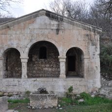
Shahbulag Mosque
38.3 kmReviews
Visited this place? Tap the stars to rate it and share your experience / photos with the community! Try now! You can cancel it anytime.
Discover hidden gems everywhere you go!
From secret cafés to breathtaking viewpoints, skip the crowded tourist spots and find places that match your style. Our app makes it easy with voice search, smart filtering, route optimization, and insider tips from travelers worldwide. Download now for the complete mobile experience.

A unique approach to discovering new places❞
— Le Figaro
All the places worth exploring❞
— France Info
A tailor-made excursion in just a few clicks❞
— 20 Minutes