
Kalai Upazila, upazila in Rajshahi Division, Bangladesh
Location: Joypurhat District
Capital city: Калай (город)
Website: http://kalai.joypurhat.gov.bd
Website: http://kalai.joypurhat.gov.bd
GPS coordinates: 25.05830,89.18330
Latest update: June 13, 2025 15:40
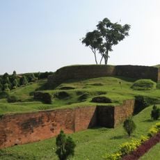
Mahasthangarh
19.4 km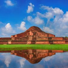
Somapura Mahavihara
21 km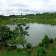
Shopnopuri Artificial Amusement Park
51.1 km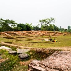
Jagaddala Mahavihara
31.9 km
Kusumba Mosque
61 km
Dighapatia Raj
71 km
Altadighi National Park
35 km
Lost Mosque
58.1 km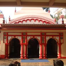
Bhabanipur Shaktipith
62 km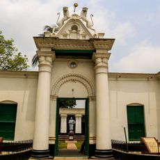
পতিসর রবীন্দ্র কাছারি বাড়ি ও তৎসংলগ্ন কীর্তিসমূহ
50 km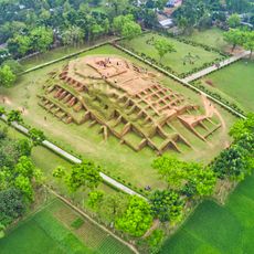
Gokul Medh
20.6 km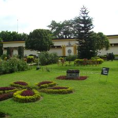
Archaeological Museum, Mohasthangarh
19.4 km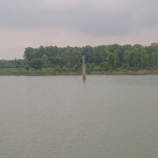
Dibar Dighi
57.2 km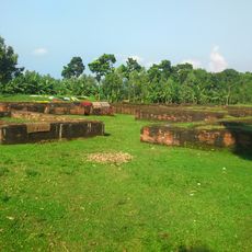
Palace of Parshuram
19.4 km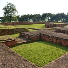
Vasu Vihara
14.3 km
Halud Vihara
25.6 km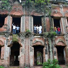
Dhubal Hati Palace
42.8 km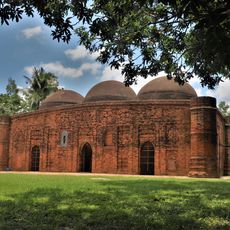
Kherua Mosque
50.3 km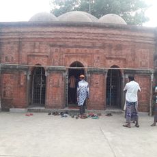
Sura Mosque
21.8 km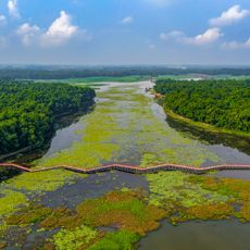
Nawabganj National Park
45.7 km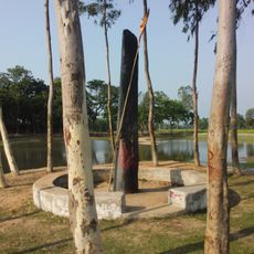
Bhimer Panti
25.6 km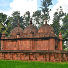
Mithapukur Bara Mosque
58.5 km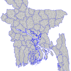
Baraidaha
62.6 km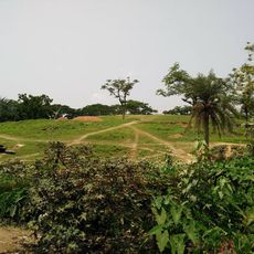
Agrapuri Vihar
50.1 km
Shah Abdul Hamid Stadium
46.9 km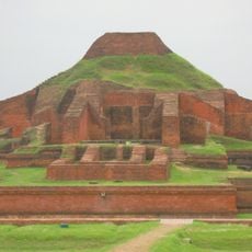
Somapura Mahavihara
20.4 km
Chaprakot Mound
60.8 km
Biswanathpur Shiva Temple
57.9 kmReviews
Visited this place? Tap the stars to rate it and share your experience / photos with the community! Try now! You can cancel it anytime.
Discover hidden gems everywhere you go!
From secret cafés to breathtaking viewpoints, skip the crowded tourist spots and find places that match your style. Our app makes it easy with voice search, smart filtering, route optimization, and insider tips from travelers worldwide. Download now for the complete mobile experience.

A unique approach to discovering new places❞
— Le Figaro
All the places worth exploring❞
— France Info
A tailor-made excursion in just a few clicks❞
— 20 Minutes