
Rangpur Sadar Upazila, upazila in Rangpur Division, Bangladesh
Location: Rangpur District
Capital city: Rangpur
Elevation above the sea: 36 m
Website: http://rangpursadar.rangpur.gov.bd
Website: http://rangpursadar.rangpur.gov.bd
GPS coordinates: 25.75830,89.23330
Latest update: April 23, 2025 16:21
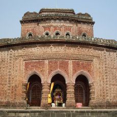
Kantajew Temple
56.9 km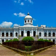
Tajhat Palace
6 km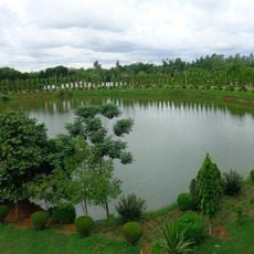
Shopnopuri Artificial Amusement Park
32.9 km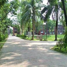
Rangpur Polytechnic Institute
2.8 km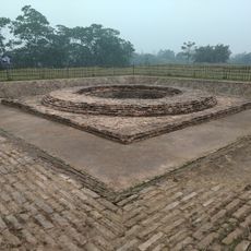
Rajpat
45.3 km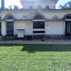
Lost Mosque
35.8 km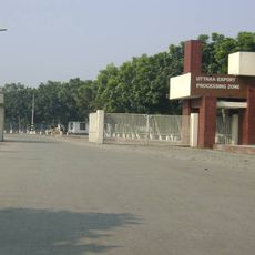
Uttara Export Processing Zone
38.7 km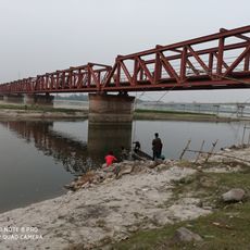
Tista Railway Bridge
20.8 km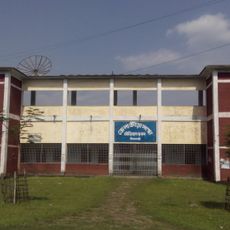
Nilphamari Stadium
43.4 km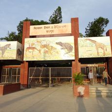
Recreation Park and Rangpur Zoo
1.8 km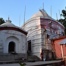
Kamteswari temple
43.9 km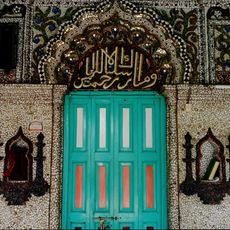
Chini Mosque
34.6 km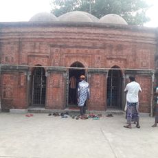
Sura Mosque
56.4 km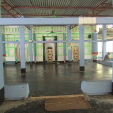
Laldighi Mosque
25.6 km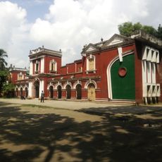
Rangpur Town Hall
1.8 km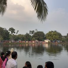
Sindurmati Dighi
29.1 km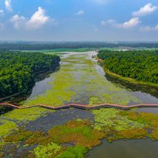
Nawabganj National Park
38.6 km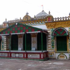
Kaliya jue Temple
56.9 km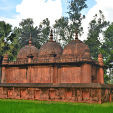
Mithapukur Bara Mosque
20.4 km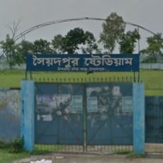
Saidpur Stadium
34.8 km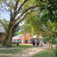
Koteshwar Shiva Mandir
26.5 km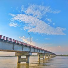
Gangachara Sheikh Hasina Bridge
12.5 km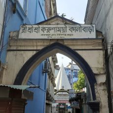
রীঁ শ্রী শ্রী করুণাময়ী কালীবাড়ি
2.3 km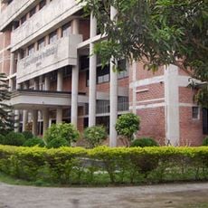
Kurigram Polytechnic Institute
40.6 km
Chaprakot Mound
23.4 km
Singerdabri Hat Ml High School & College
27.5 km
Shasoto Bangla Museum
234 m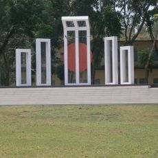
Shaheed Minar
4.7 kmReviews
Visited this place? Tap the stars to rate it and share your experience / photos with the community! Try now! You can cancel it anytime.
Discover hidden gems everywhere you go!
From secret cafés to breathtaking viewpoints, skip the crowded tourist spots and find places that match your style. Our app makes it easy with voice search, smart filtering, route optimization, and insider tips from travelers worldwide. Download now for the complete mobile experience.

A unique approach to discovering new places❞
— Le Figaro
All the places worth exploring❞
— France Info
A tailor-made excursion in just a few clicks❞
— 20 Minutes