
Ranisankail Upazila, upazila in Rangpur Division, Bangladesh
Location: Thakurgaon District
Elevation above the sea: 48 m
Website: http://ranisankail.thakurgaon.gov.bd
Website: http://ranisankail.thakurgaon.gov.bd
GPS coordinates: 25.88833,88.25167
Latest update: June 15, 2025 19:27
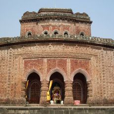
Kantajew Temple
43 km
Gor-E-Shahid Eidgah Maidan
48.3 km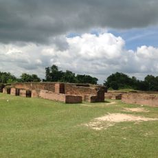
Bangarh
59.8 km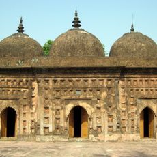
Nayabad Mosque
42.5 km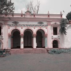
Dinajpur Rajbari
48.6 km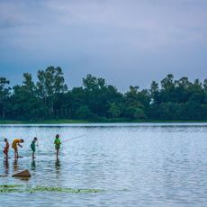
Ramsagar National Park
34.2 km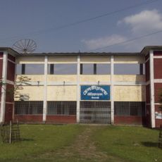
Nilphamari Stadium
59.7 km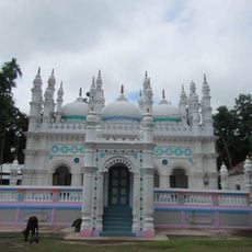
Jamalpur Jame Masjid
18.4 km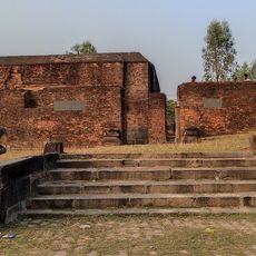
Dargah of Shah Ata
61.1 km
Government Girls' High School, Dinajpur
48 km
Singra National Park
31.2 km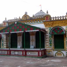
Kaliya jue Temple
43 km
Dinajpur Museum
48.2 km
Birgonj National Park
41.4 km
Panchagarh Rocks Museum
58.4 km
Thakurgaon Polytechnic Institute
25.5 km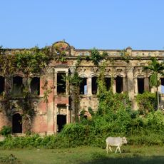
Bahin Zamindar bari
36.3 km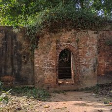
Pirpal Dargah
57.5 km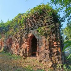
Mohanta masjid
34.4 km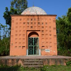
Tarasundari temple
14.3 km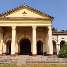
Durgadalan of Bhupalpur Rajbari
40.2 km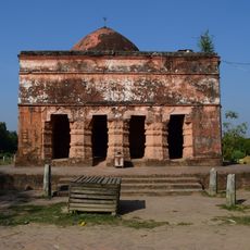
Bhairabi temple
15.3 km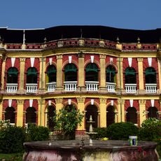
Bhupalpur Rajbari
40.2 km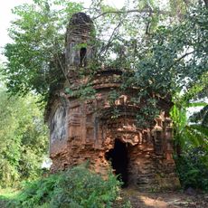
Mahurkismat Pancharatna temple
57.4 km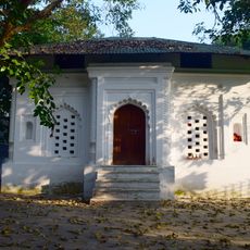
Pirpukurer Dargah
32.8 km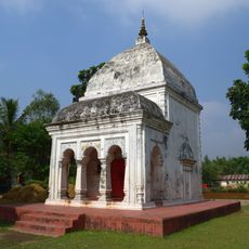
Panchamukhi Shiva Temple
48 km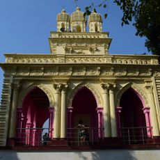
Pramatheshwar Mahadevjiu temple
60.3 km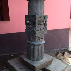
Shibbari solitary pillar
59.8 kmReviews
Visited this place? Tap the stars to rate it and share your experience / photos with the community! Try now! You can cancel it anytime.
Discover hidden gems everywhere you go!
From secret cafés to breathtaking viewpoints, skip the crowded tourist spots and find places that match your style. Our app makes it easy with voice search, smart filtering, route optimization, and insider tips from travelers worldwide. Download now for the complete mobile experience.

A unique approach to discovering new places❞
— Le Figaro
All the places worth exploring❞
— France Info
A tailor-made excursion in just a few clicks❞
— 20 Minutes