
Meherpur Sadar Upazila, Sub district of Bangladesh
Location: Meherpur District
Elevation above the sea: 20 m
Website: http://meherpursadar.meherpur.gov.bd
Website: http://meherpursadar.meherpur.gov.bd
GPS coordinates: 23.77500,88.64170
Latest update: March 4, 2025 07:23
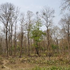
Bethuadahari Wildlife Sanctuary
32.2 km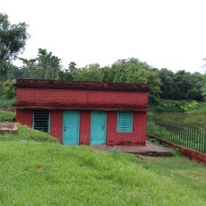
Ballal Dhipi
43.7 km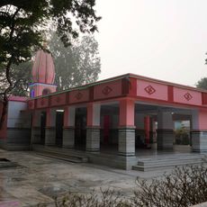
Nrisingha Temple
47.6 km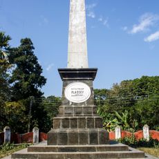
Palashi Monument
40.3 km
Juranpur Satipith
45.8 km
Grace cottage
44.2 km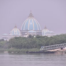
Temple of Vedic Planetarium
46.7 km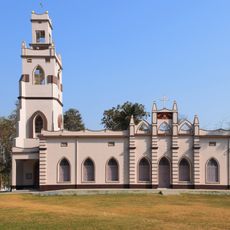
Chapra Christ Church
29.3 km
Rudreshwar temple
37.7 km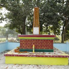
Memorial of Madanmohan Tarkalankar
35.6 km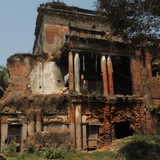
Zamindar House of Singha Roy family
36.3 km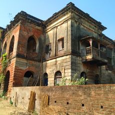
Natun Bagchi Bari
24.1 km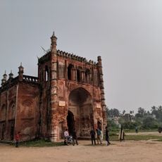
Krishnanagar Rajbari
44.4 km
Sacred Heart Church
29.7 km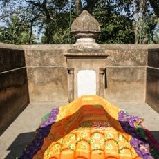
Tomb of Mir Madan
43.4 km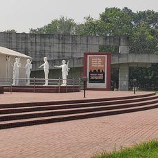
Mujibnagar Complex Museum
15.2 km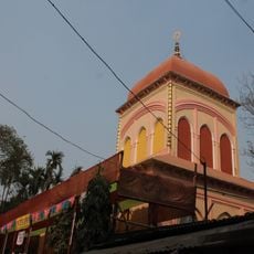
Ram Sita temple
40.7 km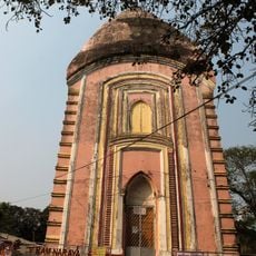
Rajnishwar temple
40.7 km
Krishna Ray temple
12.9 km
Annapurna temple of Singha Ray family
33.9 km
Three Charchala temples
36.4 km
Durga dalan of Bagchi family
24.3 km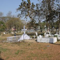
Chapra CNI cemetery
29.2 km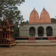
Harihar temple
47 km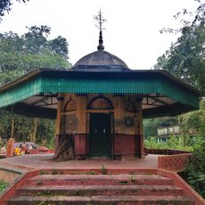
Ramchandrapur Bhajan Ashram, Nabadwip
47.5 km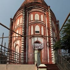
Rajrajeshwar temple
40.7 km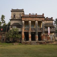
Ghosh Chowdhury Zamindar house
23 km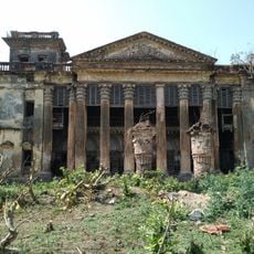
Bagchi Bari
24.2 kmReviews
Visited this place? Tap the stars to rate it and share your experience / photos with the community! Try now! You can cancel it anytime.
Discover hidden gems everywhere you go!
From secret cafés to breathtaking viewpoints, skip the crowded tourist spots and find places that match your style. Our app makes it easy with voice search, smart filtering, route optimization, and insider tips from travelers worldwide. Download now for the complete mobile experience.

A unique approach to discovering new places❞
— Le Figaro
All the places worth exploring❞
— France Info
A tailor-made excursion in just a few clicks❞
— 20 Minutes