
Burichong Upazila, upazila in Chittagong Division, Bangladesh
Location: Cumilla District
Elevation above the sea: 10 m
Website: http://burichang.comilla.gov.bd
Website: http://burichang.comilla.gov.bd
GPS coordinates: 23.55000,91.12667
Latest update: March 20, 2025 14:54
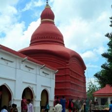
Tripura Sundari Temple
38.2 km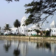
Ujjayanta Palace
35.7 km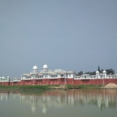
Neermahal
20.7 km
Mainamati
13.8 km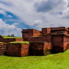
Shalban Vihara
13.8 km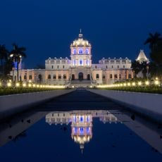
Tripura Government Museum
35.7 km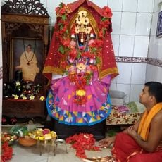
Kasbeswari Kali Mata
21.4 km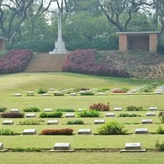
Mainamati War Cemetery
7.2 km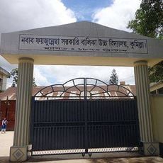
Nawab Faizunnesa Government Girls' High School
11 km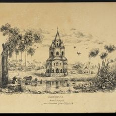
Comilla Jagannath Temple
12.9 km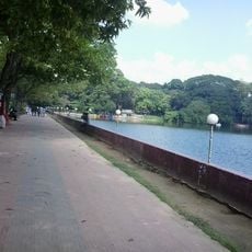
Dharmasagar
10.9 km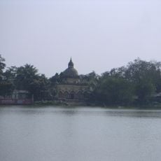
Lakshmi Narayan Temple, Agartala
35.4 km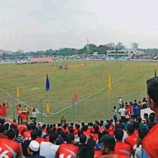
Comilla Stadium
11 km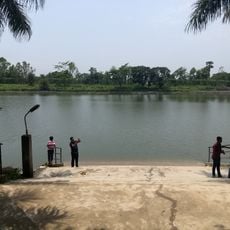
Kamalasagar
21.5 km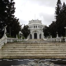
Raj Bhavan
37.4 km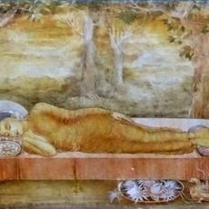
Anand Bihar
11.2 km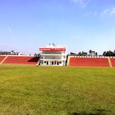
Swami Vivekananda Stadium, Agartala
35.5 km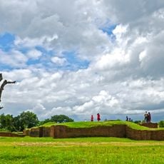
Palace and Temple of Queen Mainamati
6.3 km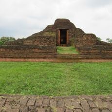
Rupban Mura
12.7 km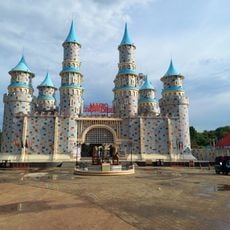
Magic Paradise Park
15.1 km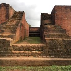
Itakhola Mura
12.4 km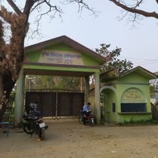
Comilla Zoo and Botanical Garden
9.8 km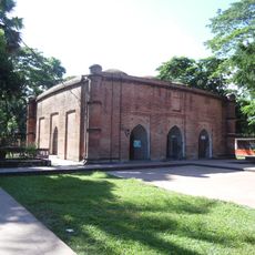
Qasba Mosque
22.1 km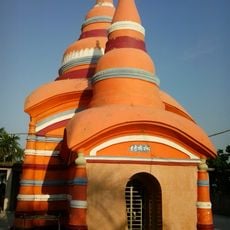
Chandi Mura
21.9 km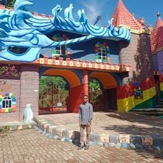
Blue Water Park
14.2 km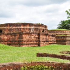
Kotila Mura
9.9 km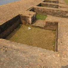
Lotikot Mura
12.4 km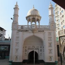
Shah Shuja Mosque
11 kmReviews
Visited this place? Tap the stars to rate it and share your experience / photos with the community! Try now! You can cancel it anytime.
Discover hidden gems everywhere you go!
From secret cafés to breathtaking viewpoints, skip the crowded tourist spots and find places that match your style. Our app makes it easy with voice search, smart filtering, route optimization, and insider tips from travelers worldwide. Download now for the complete mobile experience.

A unique approach to discovering new places❞
— Le Figaro
All the places worth exploring❞
— France Info
A tailor-made excursion in just a few clicks❞
— 20 Minutes