
Bera Upazila, upazila in Rajshahi Division, Bangladesh
Location: Pabna District
Inception: 1828
Capital city: Bera
Elevation above the sea: 11 m
Website: http://bera.pabna.gov.bd
Website: http://bera.pabna.gov.bd
GPS coordinates: 24.06670,89.62500
Latest update: March 28, 2025 06:56
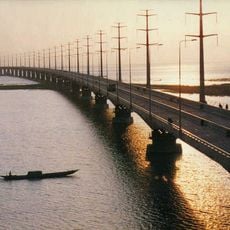
Jamuna Bridge
40.4 km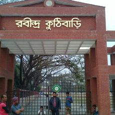
Shilaidaha Rabindra Kuthibadi
44.3 km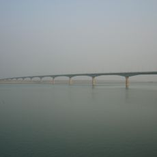
Lalon Shah Bridge
60.6 km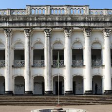
Baliati Palace
43.2 km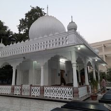
Mausoleum of Lalon Shah
51.7 km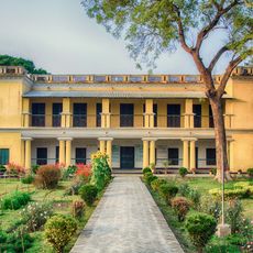
Shahzadpur Kachharibari
12.5 km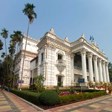
Mohera Jamider Bari
43.7 km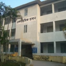
Faridpur Polytechnic Institute
57.8 km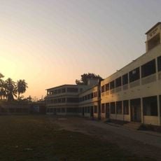
Pabna Zilla School, Pabna
40.5 km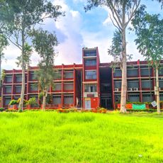
Pabna Polytechnic Institute
39.3 km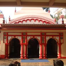
Bhabanipur Shaktipith
57.2 km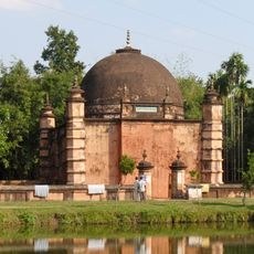
Atia Mosque
31.9 km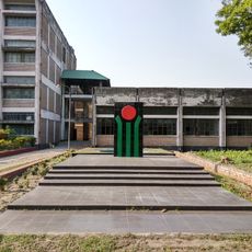
Tangail Polytechnic Institute
38 km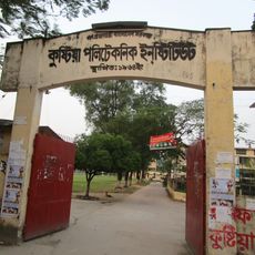
Kushtia Polytechnic Institute
53.2 km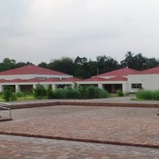
Kabi Jasimuddin Museum
54.3 km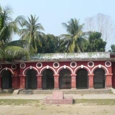
Faridpur Zilla School
55.6 km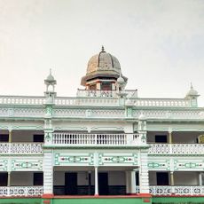
Baliadi Zamindar Bari
58.4 km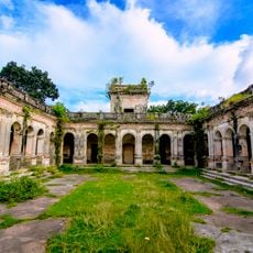
Hemnagar Zamindar Bari
60.1 km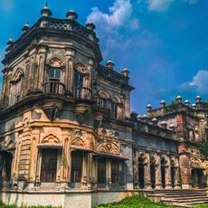
Sreefaltali Zaminder Bari
59.4 km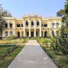
Tarash Bhavan
40.4 km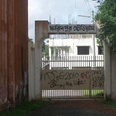
Faridpur Stadium
56.1 km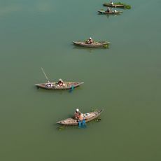
Jamuna Bridge West Bank Eco-Park
39.1 km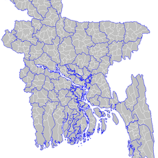
Baraidaha
57.2 km
Tangail DC Lake
37.5 km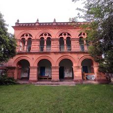
Tagore Lodge
52.1 km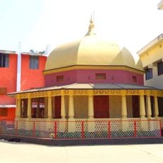
Faridpur Museum
55.9 km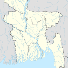
Bera (subdistrito sa Bangladesh, lat 23,95, long 89,66)
13.5 km
Balaikandi
47 kmReviews
Visited this place? Tap the stars to rate it and share your experience / photos with the community! Try now! You can cancel it anytime.
Discover hidden gems everywhere you go!
From secret cafés to breathtaking viewpoints, skip the crowded tourist spots and find places that match your style. Our app makes it easy with voice search, smart filtering, route optimization, and insider tips from travelers worldwide. Download now for the complete mobile experience.

A unique approach to discovering new places❞
— Le Figaro
All the places worth exploring❞
— France Info
A tailor-made excursion in just a few clicks❞
— 20 Minutes