
Matlab Uttar Upazila, A upazila of Chandpur district
Location: Chandpur District
Elevation above the sea: 7 m
Website: http://matlabnorth.chandpur.gov.bd/
Website: http://matlabnorth.chandpur.gov.bd
GPS coordinates: 23.45000,90.63000
Latest update: March 22, 2025 18:37
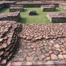
Bikrampur
13.8 km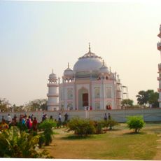
Taj Mahal Bangladesh
33.6 km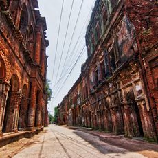
Panam City
23.1 km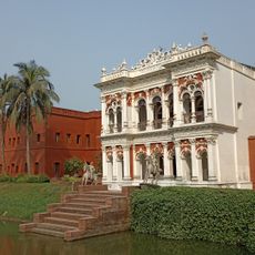
Bangladesh Folk Art & Craft Foundation
22.4 km
Meghna Bridge
17.4 km
Beauty Boarding
36.1 km
Ruplal House
35.9 km
Baba Adam's Mosque
18.1 km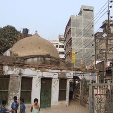
Binat Bibi Mosque
36.2 km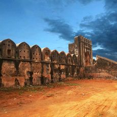
Hajiganj Fort
23.7 km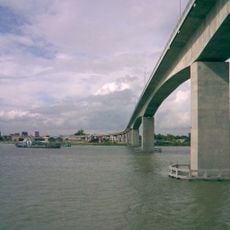
মুক্তারপুর সেতু
17.9 km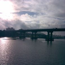
বুড়িগঙ্গা সেতু
33.5 km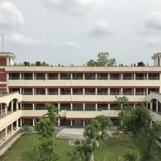
Munshiganj Polytechnic Institute
19.8 km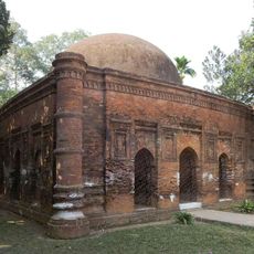
Goaldi Mosque
23.3 km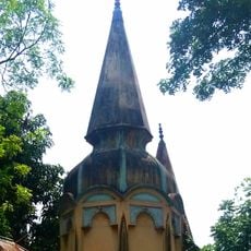
Swami Bagh Temple
36.2 km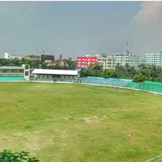
Munshiganj Stadium
14.5 km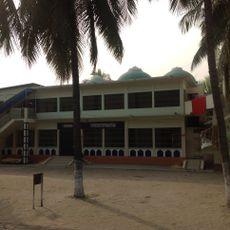
Bibi Maryam Masjid
23.6 km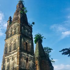
Lohagor Moth
31.3 km
Sonarang Twin Temples
19.2 km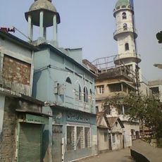
Asrafia Jame Masjid
23.1 km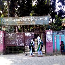
Safarmali High School
18.6 km
Atish Dipankar Memorial Complex
16.6 km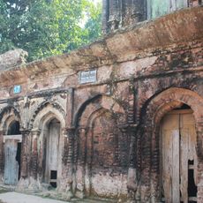
Sonargaon Museum
22.3 km
Nateshwar Buddhist Temple
18.8 km
Kashinath Bhaban
23.1 km
34 Panam Nagar
23.1 km
Awal Manzil
23.1 km
17 Panam City
23.1 kmReviews
Visited this place? Tap the stars to rate it and share your experience / photos with the community! Try now! You can cancel it anytime.
Discover hidden gems everywhere you go!
From secret cafés to breathtaking viewpoints, skip the crowded tourist spots and find places that match your style. Our app makes it easy with voice search, smart filtering, route optimization, and insider tips from travelers worldwide. Download now for the complete mobile experience.

A unique approach to discovering new places❞
— Le Figaro
All the places worth exploring❞
— France Info
A tailor-made excursion in just a few clicks❞
— 20 Minutes