
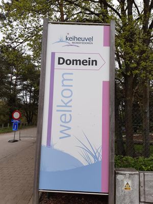
Keiheuvel, recreatiegebied in België
Elevation above the sea: 34 m
GPS coordinates: 51.18128,5.23065
Latest update: May 27, 2025 17:48
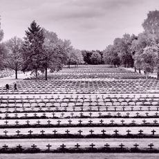
Lommel German war cemetery
5.3 km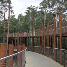
Fietsen door de Bomen
5.3 km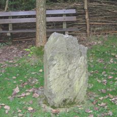
Steen der Zeven Heerlijkheden
7.4 km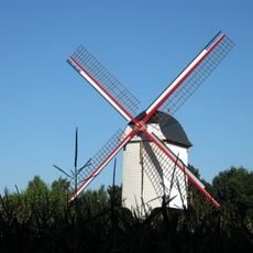
Leyssensmolen, Lommel
5.3 km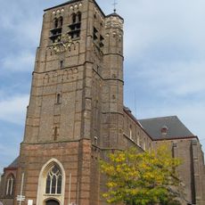
Sint-Andrieskerk
4.5 km
Domaine de Zilvermeer
6 km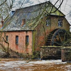
Hoolstmolen, Olmen
6.5 km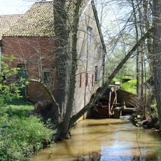
Topmolen
2.7 km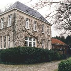
Kasteel van Wezel
2.4 km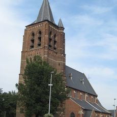
Sint-Willibrorduskerk
7.2 km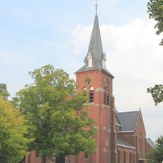
Saint Carolus Borromeüs church
4.8 km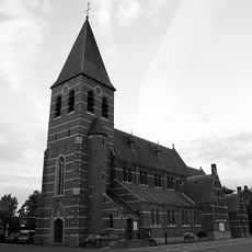
Sint-Jozefskerk
1.8 km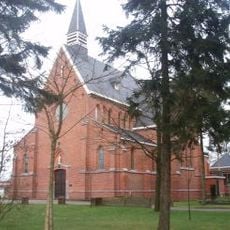
Sint-Barbarakerk
5.3 km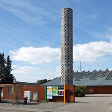
Sint-Jozef Ambachtsmankerk
7.4 km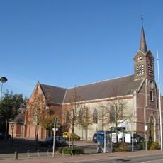
Sint-Jan Baptistkerk
3.2 km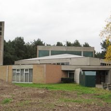
Sint-Pauluskerk
6.5 km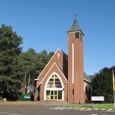
Heilig Sacramentskerk
6.8 km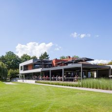
Kempense Golfclub
4.5 km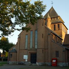
Onze-Lieve-Vrouw-Onbevlekt-Ontvangenkerk
5.7 km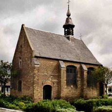
Kapel van Gerheide
2 km
Onze-Lieve-Vrouw ter Kempenkerk
6.5 km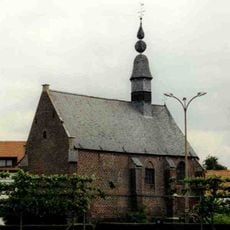
Sint-Thomas van Kantelbergkapel
3.8 km
Onze-Lieve-Vrouw van Bijstandkerk
6.7 km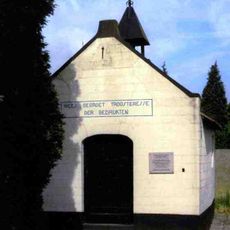
Onze-Lieve-Vrouw Troosteres der Bedruktenkapel
4.2 km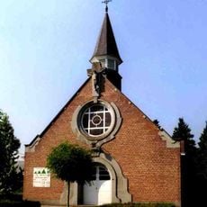
Onze-Lieve-Vrouw-van-Lourdeskapel
3.9 km
Openbare bibliotheek Leopoldsburg
7.3 km
Provinciaal Recreatiedomein Zilvermeer
6 km
Building, scenic viewpoint
6 kmReviews
Visited this place? Tap the stars to rate it and share your experience / photos with the community! Try now! You can cancel it anytime.
Discover hidden gems everywhere you go!
From secret cafés to breathtaking viewpoints, skip the crowded tourist spots and find places that match your style. Our app makes it easy with voice search, smart filtering, route optimization, and insider tips from travelers worldwide. Download now for the complete mobile experience.

A unique approach to discovering new places❞
— Le Figaro
All the places worth exploring❞
— France Info
A tailor-made excursion in just a few clicks❞
— 20 Minutes