
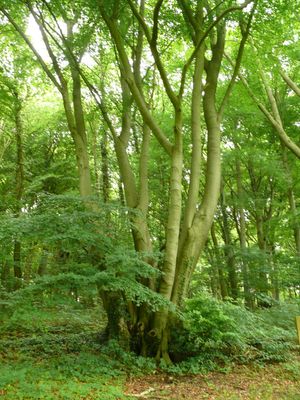
Veursbos, Wald in Belgien
Location: Voeren
Elevation above the sea: 204 m
GPS coordinates: 50.73672,5.85684
Latest update: June 7, 2025 13:23
Commanderij
2.4 km
Abdij van Sinnich
2.4 km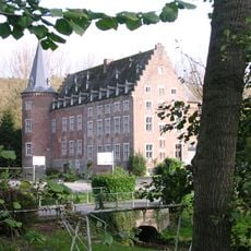
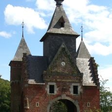
Kasteel van Obsinnich
2.4 km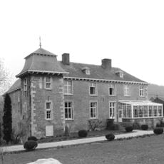
Castle of Teuven
2.5 km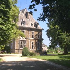
Kasteel Magis
2.5 km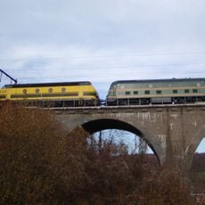
Viaduct of Remersdaal
2.7 km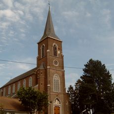
Sint-Pieterskerk
2.1 km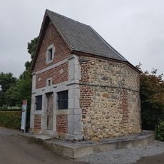
Heiligenhuisje
2.4 km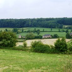
Vrouwenbos
1.5 km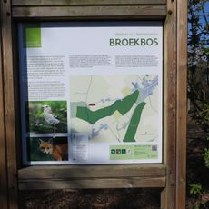
Broekbos
2.3 km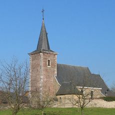
Sint-Pieters-Stoelkerk
2.4 km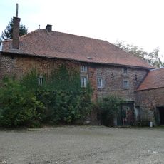
Ordenmolen
2.6 km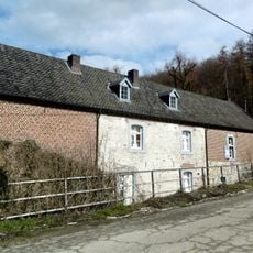
Watermolen van Sinnich
2.5 km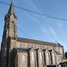
Sint-Heribertuskerk
1.8 km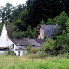
Molen van Obsinnich
2.5 km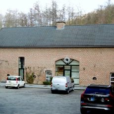
Molen van Teuven
2.5 km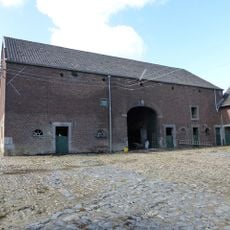
Het Hoes
1.8 km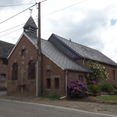
Sint-Rochuskapel
1.8 km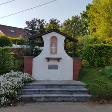
Onze-Lieve-Vrouw-van-Banneuxkapel
3 km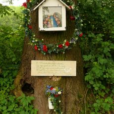
Mariakapel Kwinten
3 km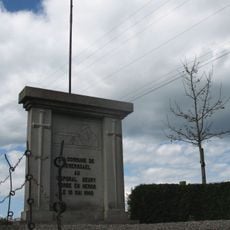
Memorial caporal Geury
2.7 km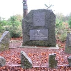
Wire of Death memorial, Sippenaeken
2.9 km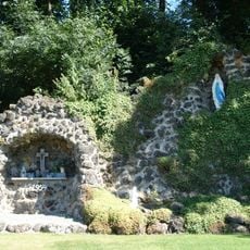
Lourdesgrot Remersdaal
2.1 km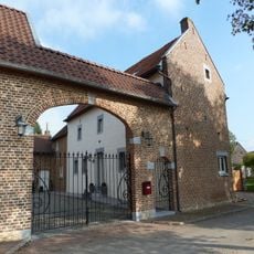
Ulvend 1, Noorbeek
3.1 km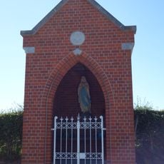
Mariakapel Teuven
1.6 km
Belgium-Netherlands boundary stone no. 19
1.9 km
Belgium-Netherlands boundary stone no. 21
3.1 km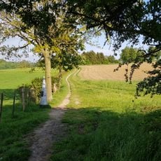
Belgium-Netherlands boundary stone no. 18
2.8 kmReviews
Visited this place? Tap the stars to rate it and share your experience / photos with the community! Try now! You can cancel it anytime.
Discover hidden gems everywhere you go!
From secret cafés to breathtaking viewpoints, skip the crowded tourist spots and find places that match your style. Our app makes it easy with voice search, smart filtering, route optimization, and insider tips from travelers worldwide. Download now for the complete mobile experience.

A unique approach to discovering new places❞
— Le Figaro
All the places worth exploring❞
— France Info
A tailor-made excursion in just a few clicks❞
— 20 Minutes