
Meisenberg, mountain in Belgium
Location: Sankt Vith
Elevation above the sea: 598 m
GPS coordinates: 50.27884,6.01595
Latest update: June 10, 2025 00:52
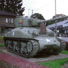
Tank memorial
6.9 km
Aqua Mundo
7.5 km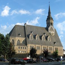
Église Saint-Gengoul
7.3 km
Église Saint-Pierre de Beho
6.6 km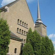
Kirche Sankt Vith
7.9 km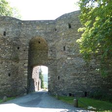
Château des Comtes de Salm
7.9 km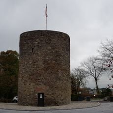
Büchelturm
7.7 km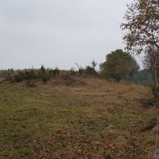
Tumulus of Schinkelsknopf
7.2 km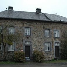
Commanster Castle
3.1 km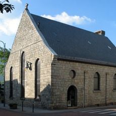
Sankt Katherinenkapelle
7.8 km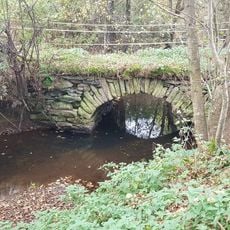
Schafsbrücke
6.2 km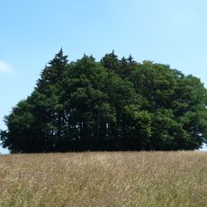
Tumulus of Hochtumsknopf
6.1 km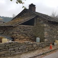
Backhaus Recht
5.7 km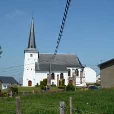
Sint-Remacluskerk
7.8 km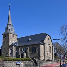
Kirche St. Aldegundis
6.5 km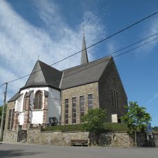
Kirche St. Antonius
4.3 km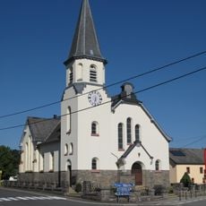
Kirche Sankt Michael
6.8 km
Mutter-Gottes-Kirche
5.6 km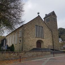
Kirche St. Kornelius
4 km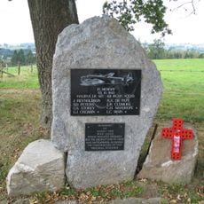
Halifax Memorial near Neundorf
6.2 km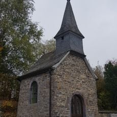
Marienkapelle
6.8 km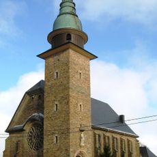
Kirche St. Johannes
5.1 km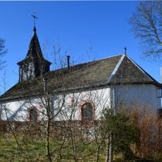
Sacred Heart Chapel
4 km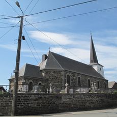
Sankt Martinuskirche
6.5 km
Braunlauf Kapelle
5 km
Rodter Buchen
3.3 km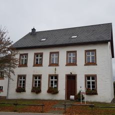
Alte Schule Nieder-Emmels
6.8 km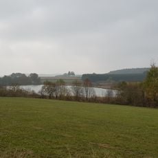
Thommer Weiher
7.1 kmReviews
Visited this place? Tap the stars to rate it and share your experience / photos with the community! Try now! You can cancel it anytime.
Discover hidden gems everywhere you go!
From secret cafés to breathtaking viewpoints, skip the crowded tourist spots and find places that match your style. Our app makes it easy with voice search, smart filtering, route optimization, and insider tips from travelers worldwide. Download now for the complete mobile experience.

A unique approach to discovering new places❞
— Le Figaro
All the places worth exploring❞
— France Info
A tailor-made excursion in just a few clicks❞
— 20 Minutes