
Bruul, park in Leuven, Belgium
Location: Leuven
Elevation above the sea: 18 m
GPS coordinates: 50.88303,4.69537
Latest update: June 8, 2025 09:38
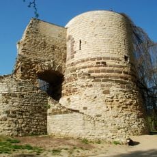
First city walls of Leuven
327 m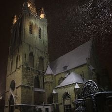
Saint Gertrude Church
304 m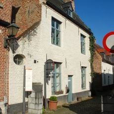
Klein Begijnhof
330 m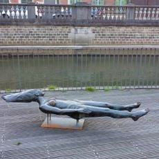
St Margaret of Louvain - Marguerite la Fière
217 m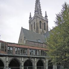
Sint-Geertruiabdij
297 m
Kapel van de Romaanse Poort
325 m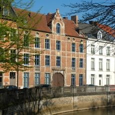
Brasserie de Jonge Sint-Jacobgique
197 m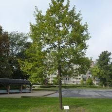
De Bruul
33 m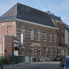
Convent of Beggars and Oratory of Saint Philip Neri
185 m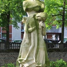
National Resistance Monument
260 m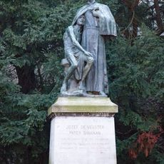
Statue of Father Damien
371 m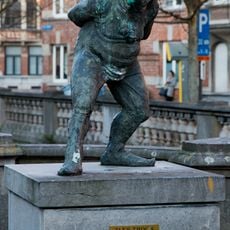
Paep Thoon
396 m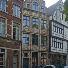
House "Den Gulden Sadel"
374 m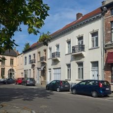
Vismarkt 11-15, Leuven
371 m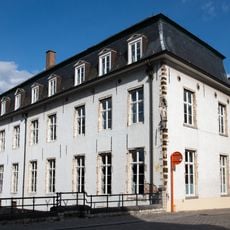
Halfmaartstraat 19; Sluisstraat 2, Leuven
368 m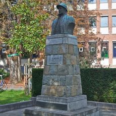
King Albert I of Belgium
236 m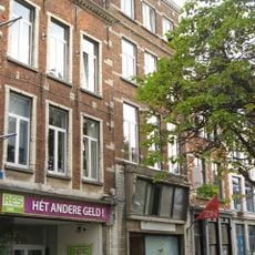
House "Die Groote Swaene"
383 m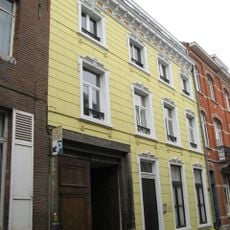
Vaartstraat 47, Leuven
403 m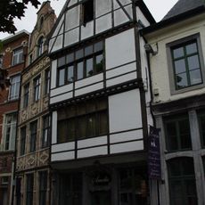
House "In de Dry Schepen"
372 m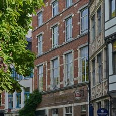
House "De Gulde Handt"
376 m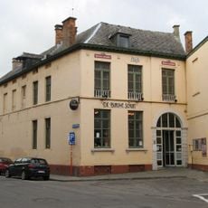
Vismarkt 16, Leuven
341 m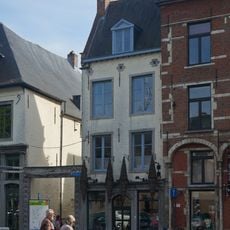
House "Die Cleyn Roode Rose"
367 m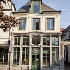
House "Sint-Andries"
369 m
Vissersstraat 1, Leuven
385 m
House "Onder den Toren"
255 m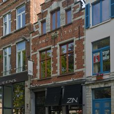
House "Die Cleyne Swaene"
381 m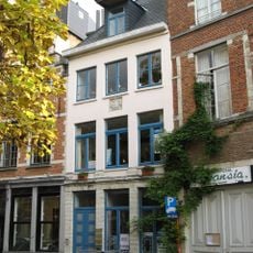
House "Die Cleynen Pellicaen"
380 m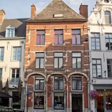
House "Die Groote Roose"
366 mReviews
Visited this place? Tap the stars to rate it and share your experience / photos with the community! Try now! You can cancel it anytime.
Discover hidden gems everywhere you go!
From secret cafés to breathtaking viewpoints, skip the crowded tourist spots and find places that match your style. Our app makes it easy with voice search, smart filtering, route optimization, and insider tips from travelers worldwide. Download now for the complete mobile experience.

A unique approach to discovering new places❞
— Le Figaro
All the places worth exploring❞
— France Info
A tailor-made excursion in just a few clicks❞
— 20 Minutes