
Herent, section of Herent, Belgium
Location: Herent
Part of: Herent
GPS coordinates: 50.90810,4.67060
Latest update: March 7, 2025 08:17
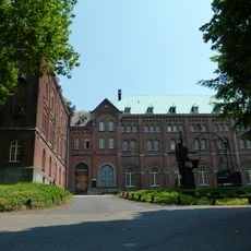
Abdij Keizersberg
2.8 km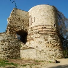
First city walls of Leuven
3.4 km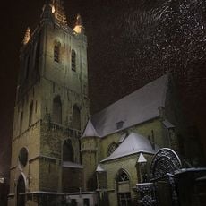
Saint Gertrude Church
3.3 km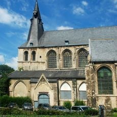
Saint Jacob's Church
3.4 km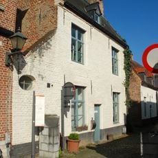
Klein Begijnhof
3.2 km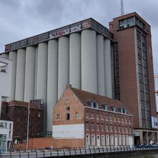
Molens Van Orshoven
3.4 km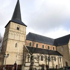
Onze-Lieve-Vrouwkerk
265 m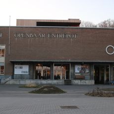
Openbaar Entrepot, Leuven
3.1 km
De Kanaalgravers
3.1 km
Church of St. Mary
2.2 km
De Bruul
3.3 km
Sint-Hadrianuskerk
3 km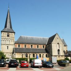
Onze-Lieve-Vrouwekerk
243 m
Viaduct van Wilsele
2.5 km
Convent of Beggars and Oratory of Saint Philip Neri
3.4 km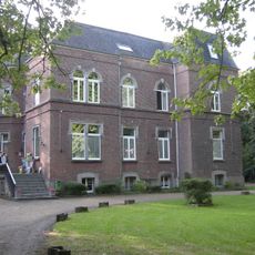
Château Denis
2.8 km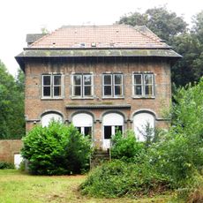
Puthof
3 km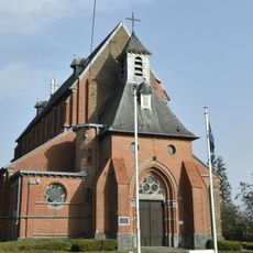
Heilig-Hartkerk
3.2 km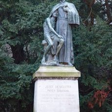
Statue of Father Damien
3.4 km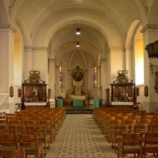
Sint-Martinuskerk
2.6 km
Kastanjebos
2.7 km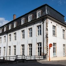
Halfmaartstraat 19; Sluisstraat 2, Leuven
3.4 km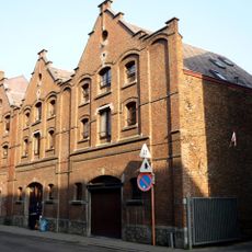
Brouwerij Breda
3.2 km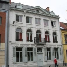
Vaartstraat 139, Leuven
3.2 km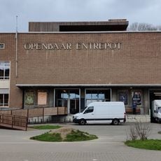
OPEK
3.1 km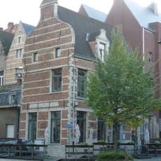
House "Onder den Toren"
3.3 km
House "In Zeelandt 1780"
3.2 km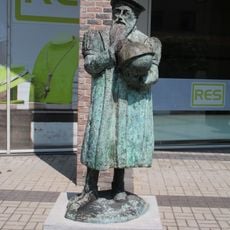
Gerard Mercator
3.4 kmReviews
Visited this place? Tap the stars to rate it and share your experience / photos with the community! Try now! You can cancel it anytime.
Discover hidden gems everywhere you go!
From secret cafés to breathtaking viewpoints, skip the crowded tourist spots and find places that match your style. Our app makes it easy with voice search, smart filtering, route optimization, and insider tips from travelers worldwide. Download now for the complete mobile experience.

A unique approach to discovering new places❞
— Le Figaro
All the places worth exploring❞
— France Info
A tailor-made excursion in just a few clicks❞
— 20 Minutes