
Anderlecht Lock, lock on the Brussels–Charleroi Canal
Location: Anderlecht
Part of: Brussels–Charleroi Canal
GPS coordinates: 50.81965,4.30180
Latest update: June 5, 2025 22:50
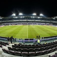
Lotto Park
1.6 km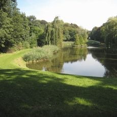
Astrid Park
1.5 km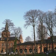
Forest Abbey
1.5 km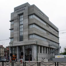
WIELS
1.8 km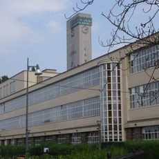
Food and Chemical Industries Education and Research Center
805 m
Place de la Vaillance - Dapperheidsplein
1.8 km
Forest-South railway station
1.4 km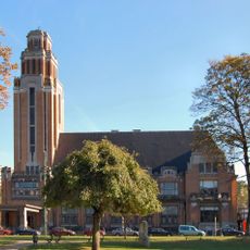
Forest Town Hall
1.5 km
Veeweyde - Veeweide
1.1 km
Church of St. Joseph
453 m
Church of St. Denis
1.5 km
Scherdemael - Scherdemaal
1.6 km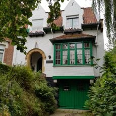
Maurice Carême Museum
1.4 km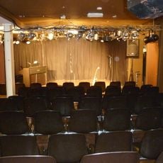
Au B'izou
741 m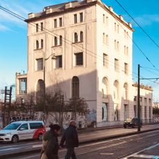
BRASS
1.8 km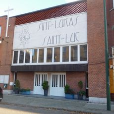
Église Saint-Luc
1.4 km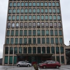
Former ASAR building
846 m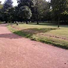
Parc de Scherdemael
1.7 km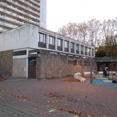
Holy Spirit Church
1.5 km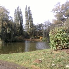
Parc des Étangs
1.3 km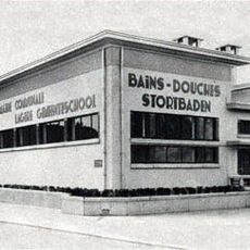
School of La Roue/Het Rad
403 m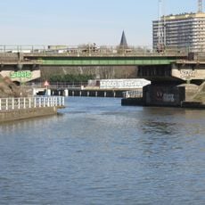
Pierre Marchant Bridge
1.7 km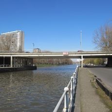
Paepsem Bridge
671 m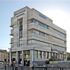
Wielemans Tower
1.8 km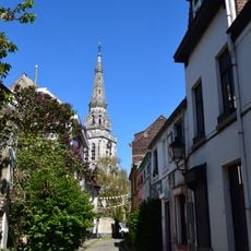
Rue Porselein - Porseleinstraat
1.8 km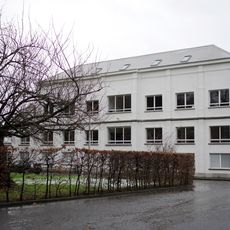
Rosas Performance Space
1.6 km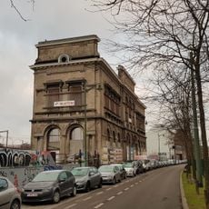
Former Wielemans-Ceuppens brewery – office building
1.9 km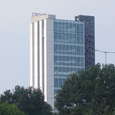
Keukentoren Elishout
673 mReviews
Visited this place? Tap the stars to rate it and share your experience / photos with the community! Try now! You can cancel it anytime.
Discover hidden gems everywhere you go!
From secret cafés to breathtaking viewpoints, skip the crowded tourist spots and find places that match your style. Our app makes it easy with voice search, smart filtering, route optimization, and insider tips from travelers worldwide. Download now for the complete mobile experience.

A unique approach to discovering new places❞
— Le Figaro
All the places worth exploring❞
— France Info
A tailor-made excursion in just a few clicks❞
— 20 Minutes