
Kalekovets, village
Location: Maritsa Municipality
Elevation above the sea: 161 m
GPS coordinates: 42.23638,24.82382
Latest update: April 15, 2025 14:53
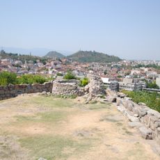
Nebet Tepe
11.2 km
Sts. Cyril and Methodius School in Plovdiv
11.2 km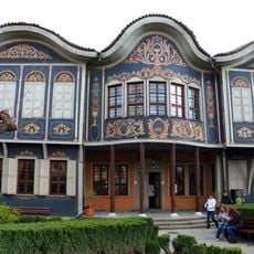
Plovdiv Regional Ethnographic Museum
11.3 km
St. Nedelya Church
11.2 km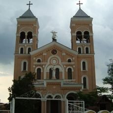
St. Archangel Michael, Rakovski
10.7 km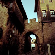
Hisar Kapia
11.2 km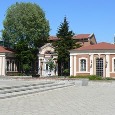
Plovdiv Regional Historical Museum
11.3 km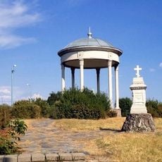
Monument to Olga Skobeleva, Plovdiv
10.1 km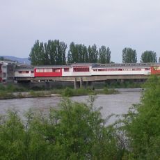
Pedestrian Bridge in Plovdiv
11.3 km
Ribnitsa Park in Plovdiv
10.4 km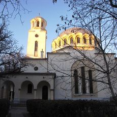
Saint Ivan of Rila church
10.8 km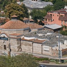
Ancient Bath centre, Plovdiv
11.2 km
Зала Строител
10.3 km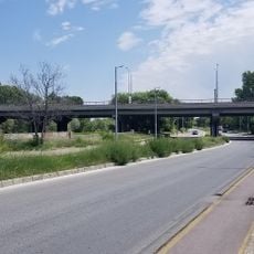
Adata Bridge, Plovdiv
10.1 km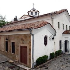
Surp Kevork Church
11.2 km
Sts. Cyril and Methodius and St. Alexander Nevsky church, Plovdiv
11.2 km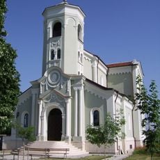
Immaculate conception Virgin, Rakovski
7.9 km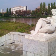
Fairground Bridge
10.9 km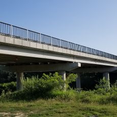
Stryama Bridge
2 km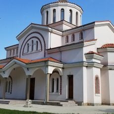
Свети мъченици София, Вяра, Надежда и Любов
5.6 km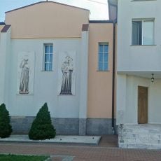
St. Maximilian Kolbe Monastry in Rakovski
11 km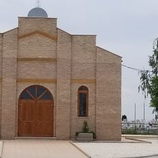
St. Joseph Chapel
10.8 km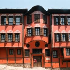
Georgiadi House, Plovdiv
11.3 km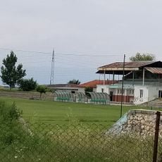
Петър Парчевич (стадион, Раковски)
9.4 km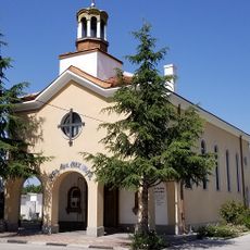
St. Archangel Michael, Plovdiv
10.9 km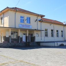
Народно читалище „Светлина 1929“
7.5 km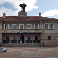
Hristo Botev-1930g.
5.4 km
Свети Георги (Момино)
10 kmReviews
Visited this place? Tap the stars to rate it and share your experience / photos with the community! Try now! You can cancel it anytime.
Discover hidden gems everywhere you go!
From secret cafés to breathtaking viewpoints, skip the crowded tourist spots and find places that match your style. Our app makes it easy with voice search, smart filtering, route optimization, and insider tips from travelers worldwide. Download now for the complete mobile experience.

A unique approach to discovering new places❞
— Le Figaro
All the places worth exploring❞
— France Info
A tailor-made excursion in just a few clicks❞
— 20 Minutes