
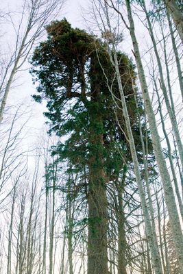
The tall fir tree, ancient tree in Pirin, Bulgaria
Location: Bansko Municipality
Height: 36 m
GPS coordinates: 41.75367,23.54422
Latest update: March 2, 2025 23:10
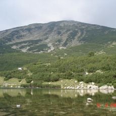
Bezbog
3.6 km
Todorka
9.3 km
Polezhan
6.5 km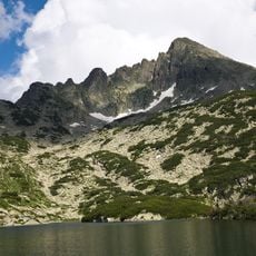
Dzhangal
6.5 km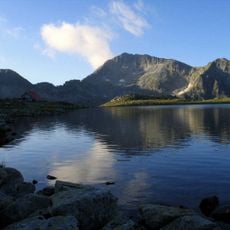
Kamenitsa Peak
9 km
Yulen
6 km
Dzhano
7.1 km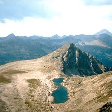
Gazey
5.8 km
Стражите (връх)
4.9 km
Momin Dvor
7.3 km
Valyavishki Chukar
7.9 km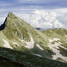
Kralev Dvor
7.6 km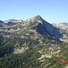
Sivria
5.7 km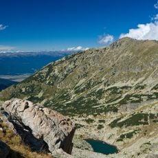
Kaymakchal
4.6 km
Светилище Поповото езеро
6 km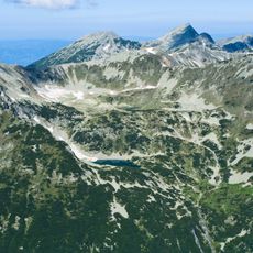
Типиците
8.5 km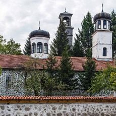
Sts. Peter and Paul Church
7.5 km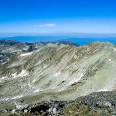
Malak Polezhan
5.7 km
Disilitsa
4 km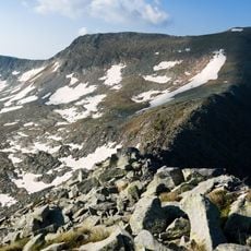
Ченгелчал
7.8 km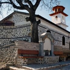
Assumption of Mary Church
7.3 km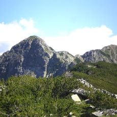
Възела
9.2 km
Василашки чукар
9.1 km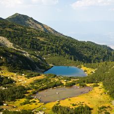
Konarevo
4.8 km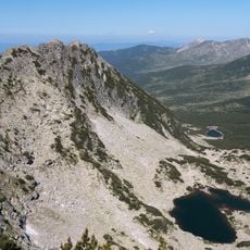
Мозговишки чукар
9.7 km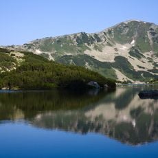
Превалски чукар
8.4 km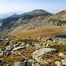
Демирчал
8.7 km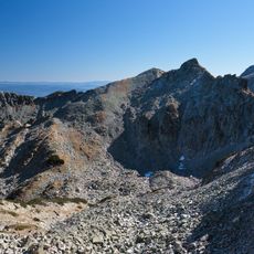
Демиркапийски чуки
7.4 kmReviews
Visited this place? Tap the stars to rate it and share your experience / photos with the community! Try now! You can cancel it anytime.
Discover hidden gems everywhere you go!
From secret cafés to breathtaking viewpoints, skip the crowded tourist spots and find places that match your style. Our app makes it easy with voice search, smart filtering, route optimization, and insider tips from travelers worldwide. Download now for the complete mobile experience.

A unique approach to discovering new places❞
— Le Figaro
All the places worth exploring❞
— France Info
A tailor-made excursion in just a few clicks❞
— 20 Minutes