
Corredeira Paca, Wasserfall in Brasilien
Location: Roraima
Elevation above the sea: 305 m
GPS coordinates: 1.55000,-62.41667
Latest update: June 6, 2025 00:51

Pico da Neblina
408.4 km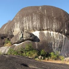
Pedra Pintada
309.5 km
Pico da Neblina National Park
415.9 km
Pico 31 de Março
408.1 km
Jaú National Park
414.7 km
Serranía La Neblina National Park
408.6 km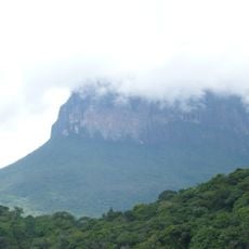
Jaua-Sarisariñama National Park
402.2 km
Parima-Tapirapecó National Park
301.5 km
Jasper Creek
402 km
Serra do Tepequém
259.3 km
Fuerte de São Joaquim do Rio Branco
271.3 km
Duida-Marahuaca National Park
408.1 km
Cachoeira do El Dorado
127.3 km
Cerro Duida
416.7 km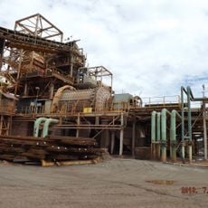
Pitinga mine
363.4 km
Serra da Mocidade National Park
74.7 km
Serra do Aracá State Park
106.2 km
Viruá National Park
145.9 km
Aprada-tepui
429.8 km
St. Helen's Cathedral
369.4 km
Pacheco Waterfall
428.4 km
Yuruaní Falls
420.7 km
Reserva Extrativista do Rio Unini
370.9 km
União Operária Beneficente
240.5 km
Cerros Vinilla y Aratitiyope Natural Monument
350.7 km
Sierra Unturan Natural Monument
336.1 km
Sierra Marutani Natural Monument
250.2 km
Cathedral Cristo Redentor in Boa Vista
239.9 kmReviews
Visited this place? Tap the stars to rate it and share your experience / photos with the community! Try now! You can cancel it anytime.
Discover hidden gems everywhere you go!
From secret cafés to breathtaking viewpoints, skip the crowded tourist spots and find places that match your style. Our app makes it easy with voice search, smart filtering, route optimization, and insider tips from travelers worldwide. Download now for the complete mobile experience.

A unique approach to discovering new places❞
— Le Figaro
All the places worth exploring❞
— France Info
A tailor-made excursion in just a few clicks❞
— 20 Minutes