
Horki, Administrative district in Mogilev Region, Belarus
The Horki District covers 1,284 square kilometers in northeastern Mogilev Region, containing 172 rural settlements and 11 administrative stations across its territory.
First documented in 1544 as a village owned by Prince Drucki-Horski, Horki became part of the Russian Empire following the First Partition of Poland in 1772.
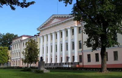
The Belarusian State Agricultural Academy, established in 1840 as an agricultural school, stands as the primary educational institution in the district.
The district connects to major transport routes through the Vorša-Kryčaŭ railway, serving 290,000 passengers annually at its station and 5.5 million at the bus terminal.
The district features six rivers including Pronia, Basia, and Miareja, while maintaining substantial deposits of peat, sand, and clay for industrial use.
Location: Horki district
Inception: 1544
Elevation above the sea: 191 m
Website: http://gorki.mogilev-region.by
GPS coordinates: 54.28333,30.98333
Latest update: May 27, 2025 11:32
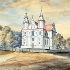
Parafia Nawiedzenia Najświętszej Maryi Panny w Faszczówce
35 km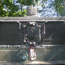
Museum of Soviet-Polish Military Friendship
16.5 km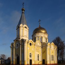
Orthodox church of the Ascension of Jesus Christ in Horki
678 m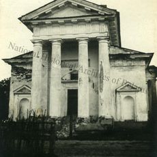
Church of Saint Casimir in Rasna
33.2 km
Bernardine monastery in Dubroŭna
37.6 km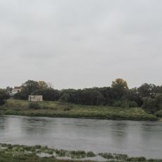
Дубровенскі замак
38 km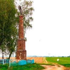
Колонна святого Симплициана (Фащевка)
35.4 km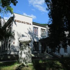
Library of the Belarusian State Agriculture Academy
831 m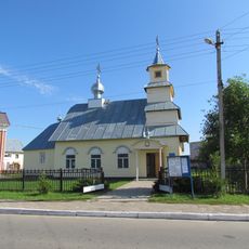
Свята-Мікалаеўская царква (Дуброўна)
37.2 km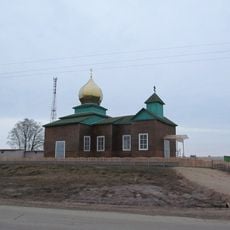
Church of Protection of the Holy Virgin in Bascienavičy
38.5 km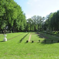
Botanical Garden of the Belarusian State Agriculture Academy
1.2 km
Church of the Holy Trinity in Dubroŭna
37.7 km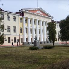
Building No. 4 in the Belarusian State Agriculture Academy
1 km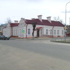
Адміністрацыйны будынак па вуліцы Горкага, 1
759 m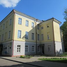
Administrative building
1 km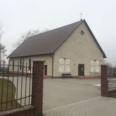
Касцёл Маці Божай Фацімскай (Дуброўна)
36.9 km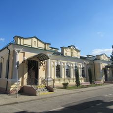
Адміністрацыйны будынак па вуліцы Крупскай, 3
391 m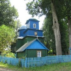
Saint Elijah the Prophet Orthodox church in Slaŭnaje
32.6 km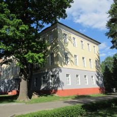
Right wing
1 km
Church of Saints Peter and Paul in Brazdziečyna
29.5 km
Church of Protection of the Holy Virgin in Kiščycy
21.6 km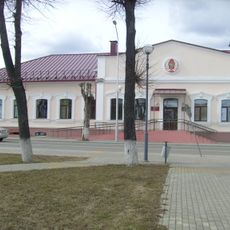
Будынак стаматалагічнай паліклінікі
769 m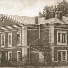
Cimirazieva Street 6, Horki
1.1 km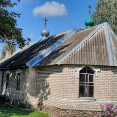
Свята-Троіцкая царква (Расна)
33.2 km
Mičuryna Street 2, Horki
1.3 km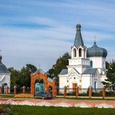
Свята-Аляксандра-Неўская царква, Крапіўна
36.8 km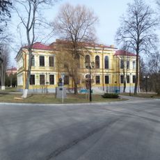
Ahranamičnaja Street 1, Horki
1.2 km
Свята-Георгіеўская царква, Пугляі
33.1 kmReviews
Visited this place? Tap the stars to rate it and share your experience / photos with the community! Try now! You can cancel it anytime.
Discover hidden gems everywhere you go!
From secret cafés to breathtaking viewpoints, skip the crowded tourist spots and find places that match your style. Our app makes it easy with voice search, smart filtering, route optimization, and insider tips from travelers worldwide. Download now for the complete mobile experience.

A unique approach to discovering new places❞
— Le Figaro
All the places worth exploring❞
— France Info
A tailor-made excursion in just a few clicks❞
— 20 Minutes