
Rural Municipality of Rosedale, rural municipality in Manitoba, Canada
Website: https://rmrosedale.com
GPS coordinates: 50.32750,-99.50444
Latest update: May 7, 2025 15:10
Riding Mountain National Park
70.5 km
Camp Hughes
49.5 km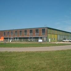
Commonwealth Air Training Plan Museum
56.6 km
Happy Rock
41 km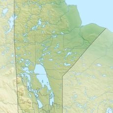
Riding Mountain Biosphere Reserve
50.5 km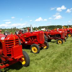
Manitoba Agricultural Museum
59.7 km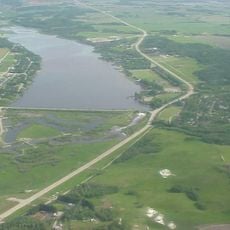
Minnedosa Lake
23.9 km
Art Gallery of Southwestern Manitoba
62.1 km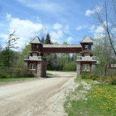
Riding Mountain Park East Gate Registration Complex
39.7 km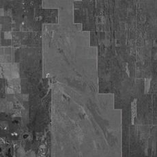
Alonsa Wildlife Management Area
71.9 km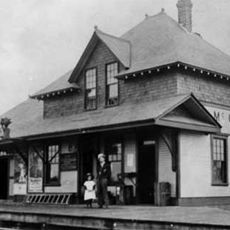
McCreary railway station
49.7 km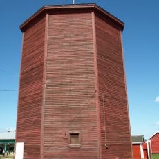
MacGregor Canadian Pacific Railway Water Tower
60 km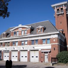
Brandon Central Fire Station
62.1 km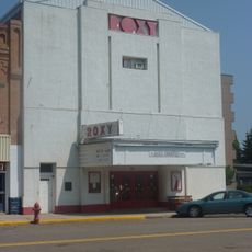
Roxy Theatre
11.4 km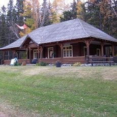
Wasagaming Tennis Clubhouse
49.7 km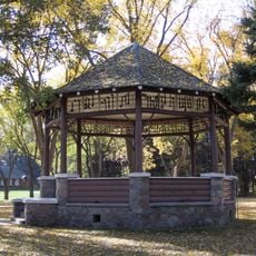
Wasagaming Bandstand
49.6 km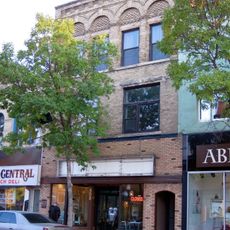
Burchill and Howey Block
62.1 km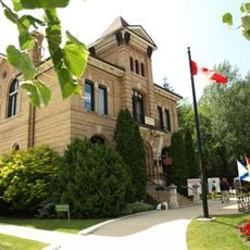
Neepawa Courthouse
11.3 km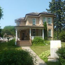
Margaret Laurence House
10.9 km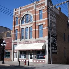
Fraser Block
62.2 km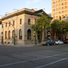
Merchants Bank Building
62.2 km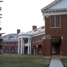
Brandon Mental Health Centre Nurses' Residence
59.6 km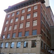
A.E. McKenzie Company Building
62.1 km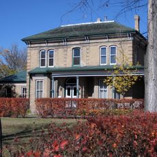
Villa Louise, Dr. Alexander Fleming House
62.4 km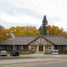
Wasagaming park administration building
49.5 km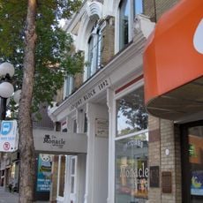
LaPlont Block
62.3 km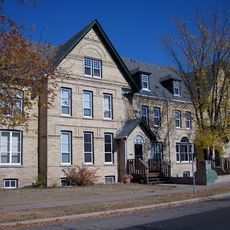
Lorne Terrace
62.5 km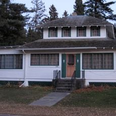
Casa Loma
49.3 kmReviews
Visited this place? Tap the stars to rate it and share your experience / photos with the community! Try now! You can cancel it anytime.
Discover hidden gems everywhere you go!
From secret cafés to breathtaking viewpoints, skip the crowded tourist spots and find places that match your style. Our app makes it easy with voice search, smart filtering, route optimization, and insider tips from travelers worldwide. Download now for the complete mobile experience.

A unique approach to discovering new places❞
— Le Figaro
All the places worth exploring❞
— France Info
A tailor-made excursion in just a few clicks❞
— 20 Minutes