
Clark's Harbour, town on Cape Sable Island in southwestern Nova Scotia, Canada
Location: Shelburne County
Inception: 1773
Elevation above the sea: 2 m
Shares border with: Lower Clarks Harbour
Website: http://clarksharbour.com
GPS coordinates: 43.44250,-65.62889
Latest update: April 11, 2025 16:10

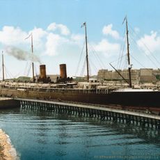
SS La Bourgogne
49.3 km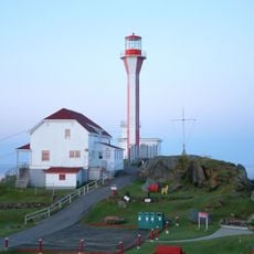
Cape Forchu Lighthouse
57.7 km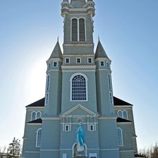
Église Sainte-Marie, Church Point, Nova Scotia
106.7 km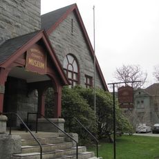
Yarmouth County Museum & Archives
58.9 km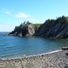
Smuggler's Cove Provincial Park
92.4 km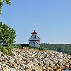
Fort Point Lighthouse
99.9 km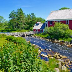
Barrington Woolen Mill
14.5 km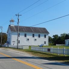
Argyle Township Court House and Jail
53.7 km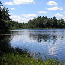
Southwest Nova Biosphere Reserve
77.2 km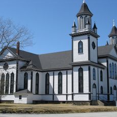
Sainte Anne's Catholic Church
50.4 km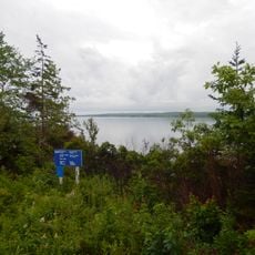
Port Joli Migratory Bird Sanctuary
75.3 km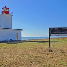
Cape St. Marys Lighthouse
85.5 km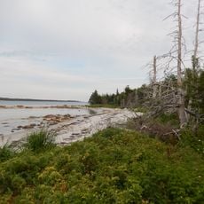
Thomas Raddall Provincial Park
73.3 km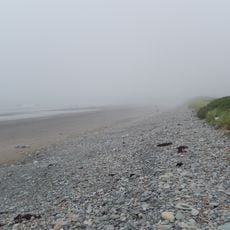
Mavillette Beach Provincial Park
85.1 km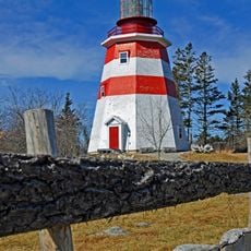
Seal Island (replica) lighthouse
14.4 km
Blacksmiths Beach
21.9 km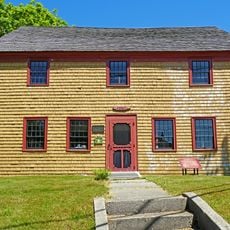
Old Barrington Meeting House
14.4 km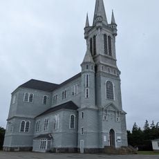
Église catholique Sainte-Marie
106.7 km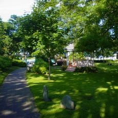
Frost Park
59.3 km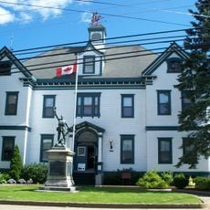
Town Hall Arts and Cultural Centre
99 km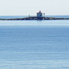
Gull Rock Lighthouse (Lockeport)
48.9 km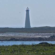
Cape Sable Lighthouse
5.8 km
Mersey River Provincial Park
95.3 km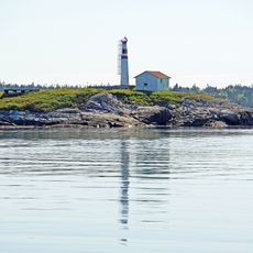
Carter Island Lighthouse
51.7 km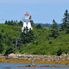
Abbott's Harbour lighthouse
25.6 km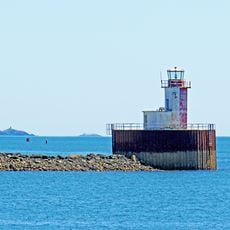
Bunker Island lighthouse
58.4 km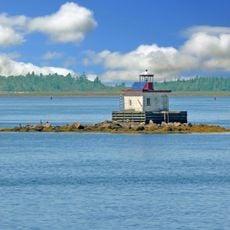
Woods Harbour lighthouse
12.7 km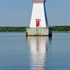
Sandy Point light
37 kmReviews
Visited this place? Tap the stars to rate it and share your experience / photos with the community! Try now! You can cancel it anytime.
Discover hidden gems everywhere you go!
From secret cafés to breathtaking viewpoints, skip the crowded tourist spots and find places that match your style. Our app makes it easy with voice search, smart filtering, route optimization, and insider tips from travelers worldwide. Download now for the complete mobile experience.

A unique approach to discovering new places❞
— Le Figaro
All the places worth exploring❞
— France Info
A tailor-made excursion in just a few clicks❞
— 20 Minutes