
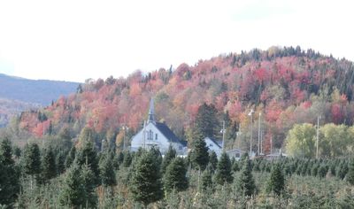
East Hereford, municipality in Quebec, Canada
Location: Coaticook
Inception: July 1, 1855
Shares border with: Saint-Venant-de-Paquette
Website: http://municipalite.easthereford.qc.ca
GPS coordinates: 45.08330,-71.50000
Latest update: April 1, 2025 04:02
Parc de la Gorge-de-Coaticook
24.5 km
Beecher Falls-East Hereford Border Crossing
7.8 km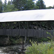
Pittsburg–Clarksville Covered Bridge
8 km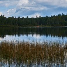
Coleman State Park
20.6 km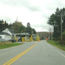
Canaan-Hereford Road Border Crossing
9.2 km
Norton–Stanhope Border Crossing
24.5 km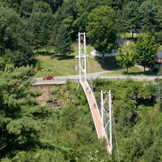
Pont pédestre de Coaticook
24.6 km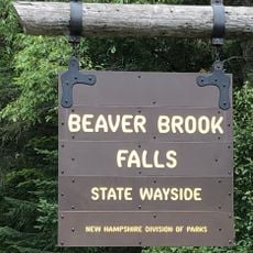
Beaver Brook Falls Wayside
18.5 km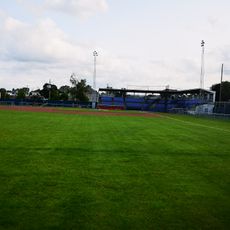
Julien Morin Stadium
24.2 km
Saint-Isidore-d'Auckland
20.4 km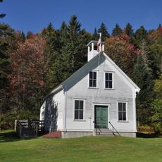
Indian Stream Schoolhouse
6 km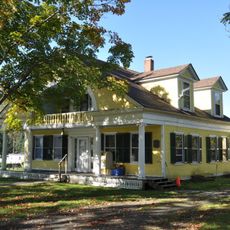
Alice M. Ward Library
10.2 km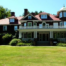
Musée Beaulne
24.7 km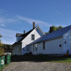
Benjamin Aldrich Homestead
17.4 km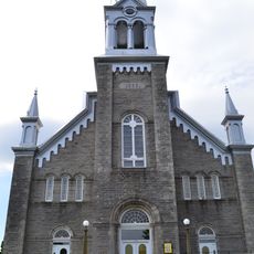
Église Saint-Herménégilde de Saint-Herménégilde
13.9 km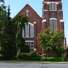
Église Sisco Memorial
24.5 km
Site du patrimoine de l'église de Saint-Venant-de-Paquette
5.5 km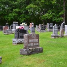
Site du patrimoine du canton de Sainte-Edwidge-de-Clifton
19.6 km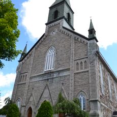
Secteur Saint-Edmond
24.1 km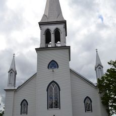
Église de Saint-Venant-de-Paquette
5.5 km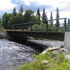
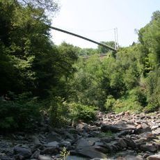
Forest Access Road bridge over the Connecticut River
15.6 km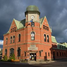
Vieille Poste
24.5 km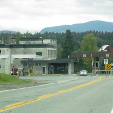
Stanhope border crossing
24.1 km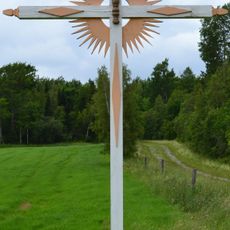
Croix de chemin Scalabrini
20 km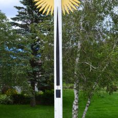
Croix de chemin Lemire
20.3 km
Croix de chemin du Village de Saint-Edwidge
19.5 km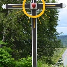
Croix de chemin paroissiale
21.9 km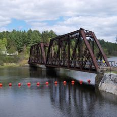
MEC Connecticut River Bridge
9.6 kmReviews
Visited this place? Tap the stars to rate it and share your experience / photos with the community! Try now! You can cancel it anytime.
Discover hidden gems everywhere you go!
From secret cafés to breathtaking viewpoints, skip the crowded tourist spots and find places that match your style. Our app makes it easy with voice search, smart filtering, route optimization, and insider tips from travelers worldwide. Download now for the complete mobile experience.

A unique approach to discovering new places❞
— Le Figaro
All the places worth exploring❞
— France Info
A tailor-made excursion in just a few clicks❞
— 20 Minutes