
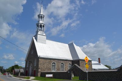
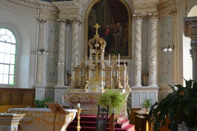
Église Saint-Mathias, church building in Quebec, Canada
Location: Saint-Mathias-sur-Richelieu
Part of: Église et mur du cimetière de Saint-Mathias
GPS coordinates: 45.47361,-73.26861
Latest update: March 4, 2025 13:41
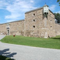
Fort Chambly
2.8 km
Mont-Saint-Bruno National Park
9.3 km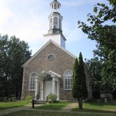
St. Stephen's Church
2.9 km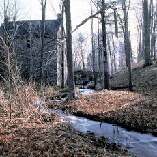
Moulin à eau de Saint-Bruno-de-Montarville
8.9 km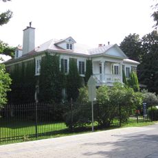
De Salaberry House
2.8 km
Refuge faunique Pierre-Étienne-Fortin
2.2 km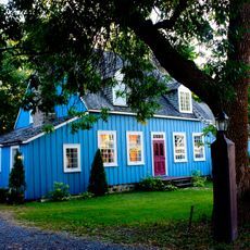
Maison Thomas-Whitehead
3.6 km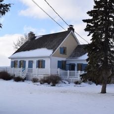
Maison Louis-Ledoux
8.8 km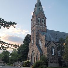
Église Saint-Bruno-de-Montarville
8 km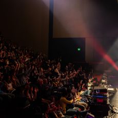
Emma-Albani Performance Hall
3.4 km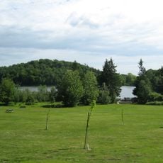
Lac du Moulin
8.7 km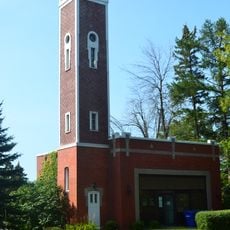
Ancienne caserne de pompiers
3.3 km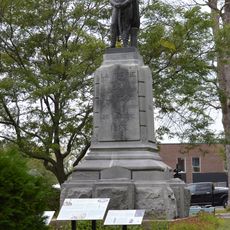
Monument de Charles-Michel D'Irumberry de Salaberry
3.3 km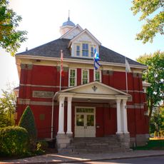
Mairie de Chambly
3.3 km
Église du Sacré-Coeur-de-Jésus
8.9 km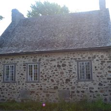
Maison Louis-Degneau
5.8 km
Manoir Rolland
6.6 km
Vieux presbytère de Saint-Bruno
7.7 km
Centre administratif et communautaire de Chambly
3.2 km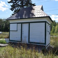
Cabin at Bridge 2
3.7 km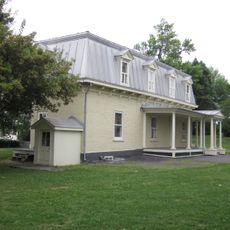
Superintendent's Residence
3.1 km
Site patrimonial de la Maison-Thomas-Whitehead
3.6 km
Lockstation Cabin 8
4.1 km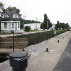
Lockstation Cabin 7
3.8 km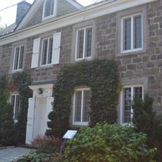
Maison John-Yule
2.9 km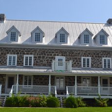
Maison Franchère
159 m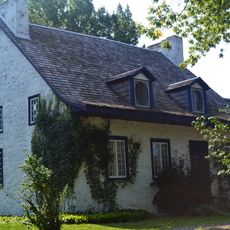
Maison de Saint-Hubert
5.8 km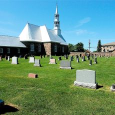
Église et mur du cimetière de Saint-Mathias
51 mVisited this place? Tap the stars to rate it and share your experience / photos with the community! Try now! You can cancel it anytime.
Discover hidden gems everywhere you go!
From secret cafés to breathtaking viewpoints, skip the crowded tourist spots and find places that match your style. Our app makes it easy with voice search, smart filtering, route optimization, and insider tips from travelers worldwide. Download now for the complete mobile experience.

A unique approach to discovering new places❞
— Le Figaro
All the places worth exploring❞
— France Info
A tailor-made excursion in just a few clicks❞
— 20 Minutes