
Calvin, township municipality in northeastern Ontario, Canada
Location: Nipissing District
Shares border with: Unorganized North Nipissing District, Bonfield
Website: http://calvintownship.ca
GPS coordinates: 46.23330,-78.93330
Latest update: March 5, 2025 17:54

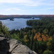
Algonquin Provincial Park
51.5 km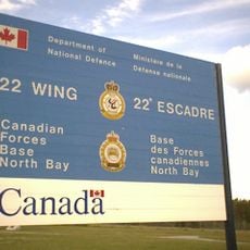
CFB North Bay
39.5 km
Arrowhead Provincial Park
95.9 km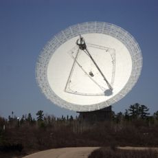
Algonquin Radio Observatory
73.3 km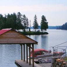
Lac Kipawa
72.6 km
Goose Air Defense Sector
38.6 km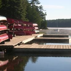
Camp Pathfinder
77.7 km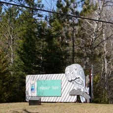
Finlayson Point Provincial Park
113.2 km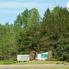
Samuel de Champlain Provincial Park
7.9 km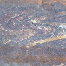
Northeast Arm Iron Range
115.2 km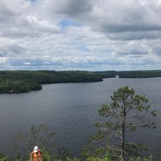
Restoule Provincial Park
67.4 km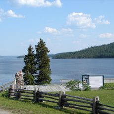
Fort Témiscamingue
124.2 km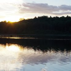
Marten River Provincial Park
86.8 km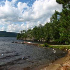
Driftwood Provincial Park
82.9 km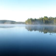
Lake St. Peter Provincial Park
122.5 km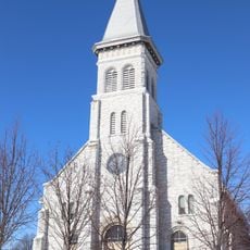
Pro-Cathedral of the Assumption
42 km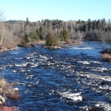
Upper Madawaska River Provincial Park
106.1 km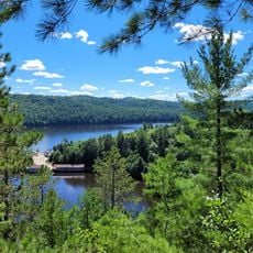
Opémican National Park
73.7 km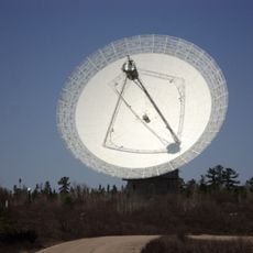
Algonquin 46m radio telescope
73.3 km
Sturgeon River House Museum
81.1 km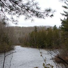
Opeongo River Provincial Park
108.3 km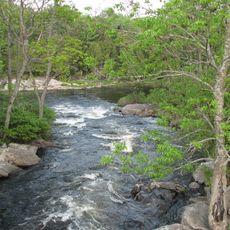
Magnetawan River Provincial Park
106.2 km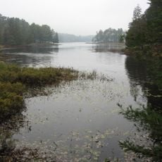
Bonnechere River Provincial Park
114.9 km
Rocher à l'Oiseau
127.1 km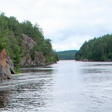
Mattawa River Provincial Park
15.1 km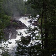
La Grande Chute
97.7 km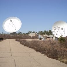
Algonquin 11m telescope
73.3 km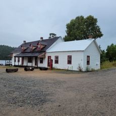
Poste de relais pour le flottage du bois d'Opémican
69.5 kmReviews
Visited this place? Tap the stars to rate it and share your experience / photos with the community! Try now! You can cancel it anytime.
Discover hidden gems everywhere you go!
From secret cafés to breathtaking viewpoints, skip the crowded tourist spots and find places that match your style. Our app makes it easy with voice search, smart filtering, route optimization, and insider tips from travelers worldwide. Download now for the complete mobile experience.

A unique approach to discovering new places❞
— Le Figaro
All the places worth exploring❞
— France Info
A tailor-made excursion in just a few clicks❞
— 20 Minutes