
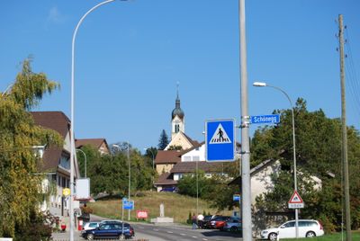
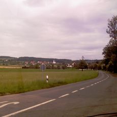
Schongau, municipality in the canton of Lucerne, Switzerland
Location: Hochdorf Constituency
Elevation above the sea: 639 m
Shares border with: Bettwil, Müswangen
Website: https://schongau.ch
GPS coordinates: 47.26722,8.25806
Latest update: March 11, 2025 12:06
Lindenberg
3 km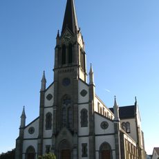
St. Pankraz catholic church
5.4 km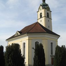
Reformed church
3.6 km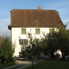
Sentenhof
4.8 km
Seerose; Neolithic lakeside settlement
3.2 km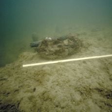
Erlenhölzli; Neolithic lakeside settlement
2.6 km
Roman estate
3.9 km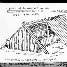
Zigiholz, Neolithic burial mound group
4.8 km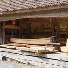
Weissenbach sawmill
3.7 km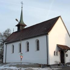
St. James chapel
4.2 km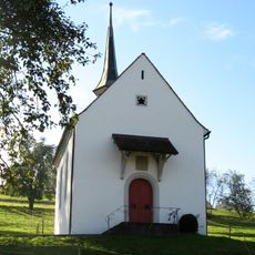
Martin chapel
5.2 km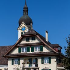
New Rectory
755 m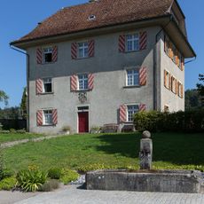
Rectory
1.6 km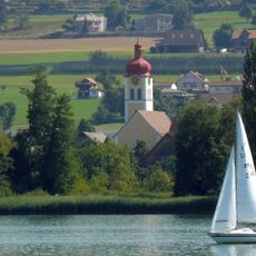
Catholic church St. Lucia with rectory
2.1 km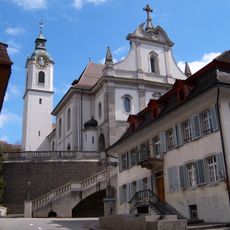
Catholic Church St. Pankratius
4.7 km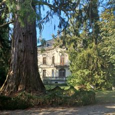
Villa Fischer
3.6 km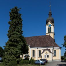
Parish church St. Ulrich
711 m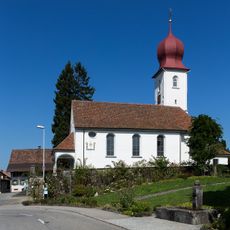
Former parish church with rectory
1.6 km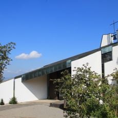
Muttergottes chapel
4.1 km
Farmhouse Unterniesenberg
4.7 km
Salve-Regina chapel
5.2 km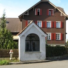
Way chapel
5.3 km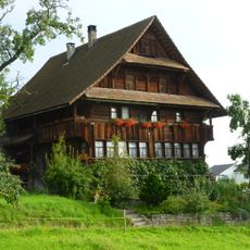
Residential house
5.3 km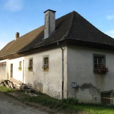
Sentenhof economy building
4.8 km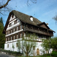
Weyer mill with fountain
5.7 km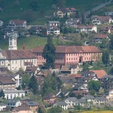
Deutschordenskommende Hitzkirch
4.7 km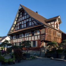
House
5.4 km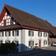
Baschi House
4.5 kmVisited this place? Tap the stars to rate it and share your experience / photos with the community! Try now! You can cancel it anytime.
Discover hidden gems everywhere you go!
From secret cafés to breathtaking viewpoints, skip the crowded tourist spots and find places that match your style. Our app makes it easy with voice search, smart filtering, route optimization, and insider tips from travelers worldwide. Download now for the complete mobile experience.

A unique approach to discovering new places❞
— Le Figaro
All the places worth exploring❞
— France Info
A tailor-made excursion in just a few clicks❞
— 20 Minutes