
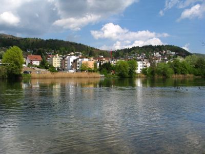
Oetwil an der Limmat, municipality in Switzerland
Location: Dietikon District
Location: Zürich
Elevation above the sea: 410 m
Website: http://oetwil-limmat.ch
GPS coordinates: 47.43083,8.39417
Latest update: March 5, 2025 17:46
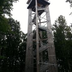
Altberg Observation Tower
1.2 km
Festung Dietikon
2.9 km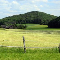
Altberg
2 km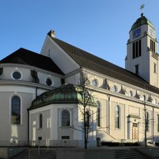
St. Agatha Kirche Dietikon
3 km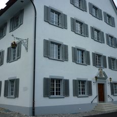
Krone Inn
2.8 km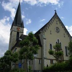
Catholic church Cosmas and Damian
2.6 km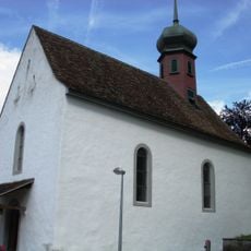
Evangelical reformed parish church
2.7 km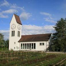
Reformierte Kirche Würenlos
2.4 km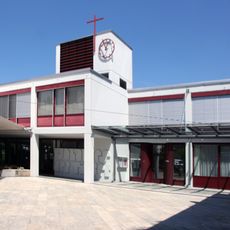
Saint John catholic church
1.5 km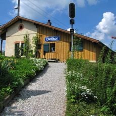
Guard house with waiting hall of the first station
2.7 km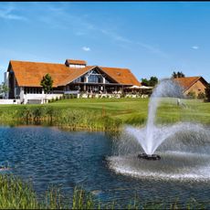
Golfpark Otelfingen
2.6 km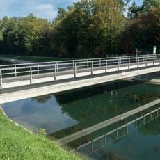
Grien-Insel-Brücke (Kraftwerk Unterwasserkanal)
2.2 km
Geroldswil
1.5 km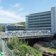
Karl-Heid-Strasse-Brücke (Kraftwerk Unterwasserkanal)
2.5 km
Moosweg, Neolithic grave
1.2 km
Oberwasserkanalbrücke (Kraftwerk Oberwasserkanal)
2.8 km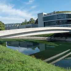
EWZ-Insel-Brücke (Kraftwerk Unterwasserkanal)
2.4 km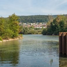
Reppisch-Spitz-Steg (Kraftwerk Unterwasserkanal)
1.8 km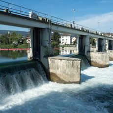
Dotierkraftwerk Dietikon-Steg
2.9 km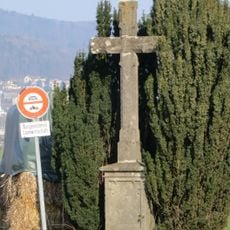
Wayside cross near the motel
2.1 km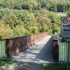
Limmatinsel-Brücke
1.6 km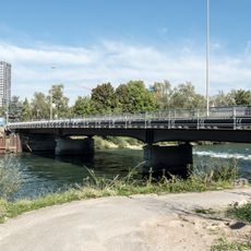
Limmatbrücke (Ueberlandstrasse)
2.9 km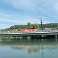
A1/A3 Autobahnbrücken
1.2 km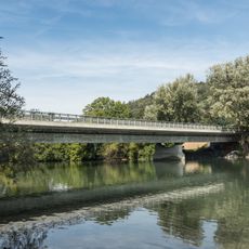
Mutschellenstrasse-Brücke
580 m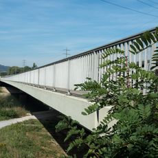
Schachen-Steg
1.2 km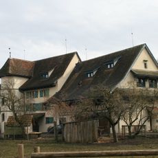
Former mill
2.3 km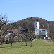
Bickguet
2.2 km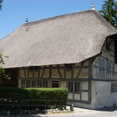
Strohdachhaus Hüttikon
1.7 kmReviews
Visited this place? Tap the stars to rate it and share your experience / photos with the community! Try now! You can cancel it anytime.
Discover hidden gems everywhere you go!
From secret cafés to breathtaking viewpoints, skip the crowded tourist spots and find places that match your style. Our app makes it easy with voice search, smart filtering, route optimization, and insider tips from travelers worldwide. Download now for the complete mobile experience.

A unique approach to discovering new places❞
— Le Figaro
All the places worth exploring❞
— France Info
A tailor-made excursion in just a few clicks❞
— 20 Minutes