
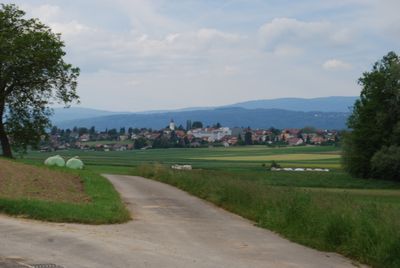
Täuffelen, municipality in the canton of Bern, Switzerland
Location: Seeland administrative district
Elevation above the sea: 492 m
Website: http://taeuffelen.ch
GPS coordinates: 47.06667,7.20000
Latest update: March 2, 2025 23:25
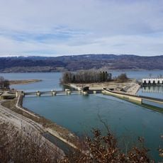
Power station and weir
1.8 km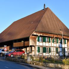
Farmhouse (1820)
3.7 km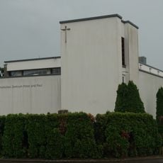
Katholische Kirche Täuffelen
185 m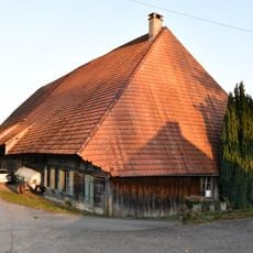
Farmhouse (1715)
3.7 km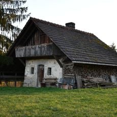
Bakehouse (1795)
3.6 km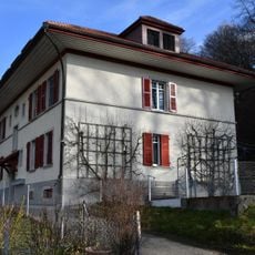
Residential building for power plant employees (1914)
1.7 km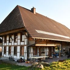
Farmhouse (1846)
3.9 km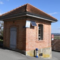
Archive building with arrest room
3.5 km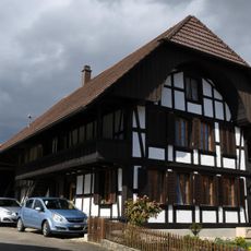
Old school house
3.4 km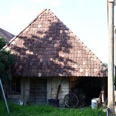
Ovenhouse (19th c.)
1.4 km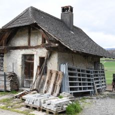
Former Ofenhaus
3.3 km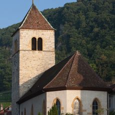
Reformed church
4.4 km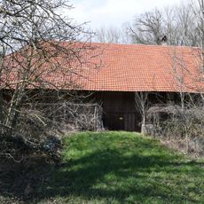
Farmhouse (about 1800)
3.2 km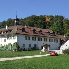
Priory St. Peter's Island
4.4 km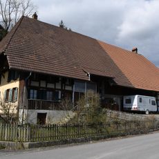
Farmhouse
3.4 km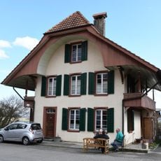
Stöckli
3.4 km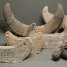
Bronze age shore settlement Mörigen
2.1 km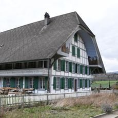
Farmhouse (1814)
3.3 km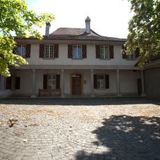
Rectory
4 km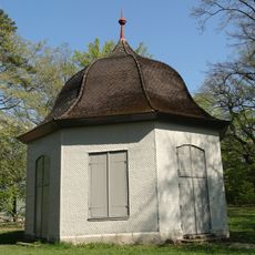
So called Rousseau-Pavillon
4.5 km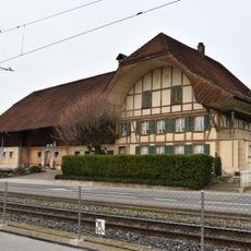
Farmhouse (around 1880)
1.6 km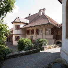
Rectory
2.3 km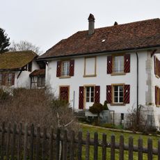
Rectory and parish building (16th c.)
162 m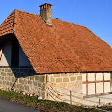
Bakehouse-Stöckli (1864)
3.9 km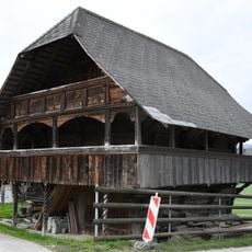
Kiener-Rohrbach storage
3.3 km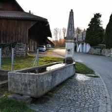
Obelisk fountain
3.7 km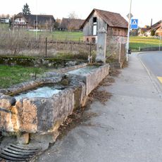
Fountain
3.6 km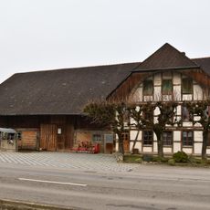
Farmhouse (1894/95)
1.4 kmReviews
Visited this place? Tap the stars to rate it and share your experience / photos with the community! Try now! You can cancel it anytime.
Discover hidden gems everywhere you go!
From secret cafés to breathtaking viewpoints, skip the crowded tourist spots and find places that match your style. Our app makes it easy with voice search, smart filtering, route optimization, and insider tips from travelers worldwide. Download now for the complete mobile experience.

A unique approach to discovering new places❞
— Le Figaro
All the places worth exploring❞
— France Info
A tailor-made excursion in just a few clicks❞
— 20 Minutes