
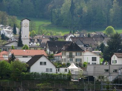
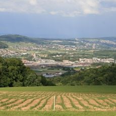
Killwangen, municipality in the canton of Aargau in Switzerland
Location: Baden District
Elevation above the sea: 429 m
Website: https://www.killwangen.ch
Part of: RPV Baden Regio
Shares border with: Spreitenbach, Oberrohrdorf, Neuenhof, Würenlos
Website: https://killwangen.ch
GPS coordinates: 47.43160,8.34605
Latest update: March 4, 2025 20:17
Heitersberg
1.8 km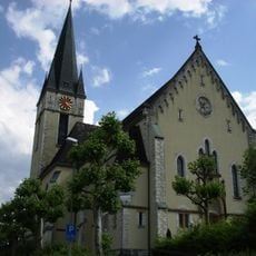
Catholic church Cosmas and Damian
2.3 km
Kapfturm
3 km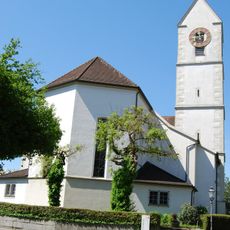
Roman Catholic parish church with rectory
2.7 km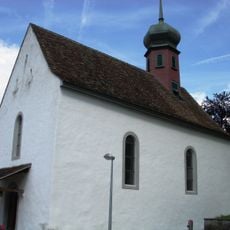
Evangelical reformed parish church
2.1 km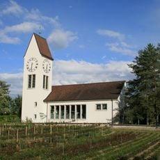
Reformierte Kirche Würenlos
2.2 km
Hasel cross church
723 m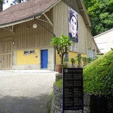
Emma Kunz center
2.1 km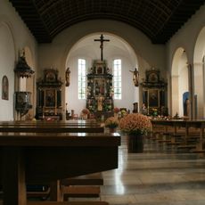
Equipment Roman Catholic Parish Church
2.7 km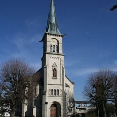
St. Josef catholic church
1.9 km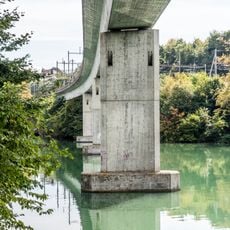
SBB-Brücke
594 m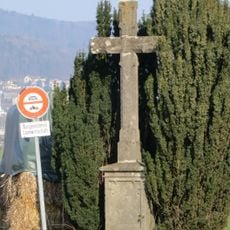
Wayside cross near the motel
2.9 km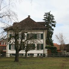
Roman catholic rectory
1.9 km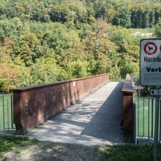
Limmatinsel-Brücke
2 km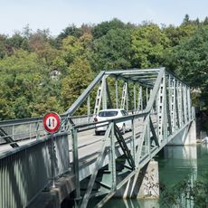
Würenlos-Brücke
851 m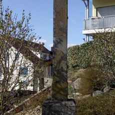
Wayside cross Dorfkern
2.9 km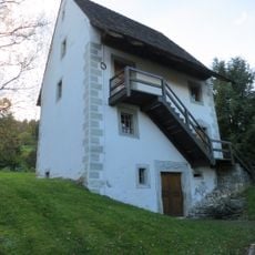
Granary
2 km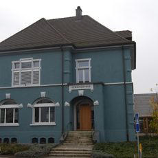
Municipal house (old schoolhouse)
2.6 km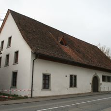
Zähnteschüür
2.7 km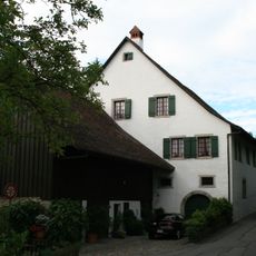
Old mill
1.8 km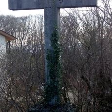
Wayside cross Dingematt
2.8 km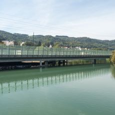
A1/A3 Autobahnbrücken
741 m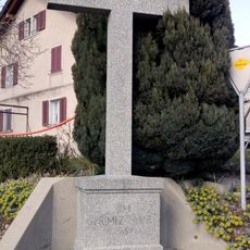
Wayside cross Foregass
2.8 km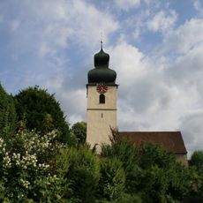
Roman catholic parish church with tower
1.8 km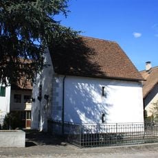
Granary
2 km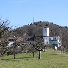
Bickguet
1.7 km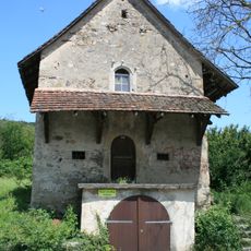
Stony granary
2 km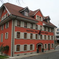
Zum Roten Löwen Inn
2.7 kmReviews
Visited this place? Tap the stars to rate it and share your experience / photos with the community! Try now! You can cancel it anytime.
Discover hidden gems everywhere you go!
From secret cafés to breathtaking viewpoints, skip the crowded tourist spots and find places that match your style. Our app makes it easy with voice search, smart filtering, route optimization, and insider tips from travelers worldwide. Download now for the complete mobile experience.

A unique approach to discovering new places❞
— Le Figaro
All the places worth exploring❞
— France Info
A tailor-made excursion in just a few clicks❞
— 20 Minutes