
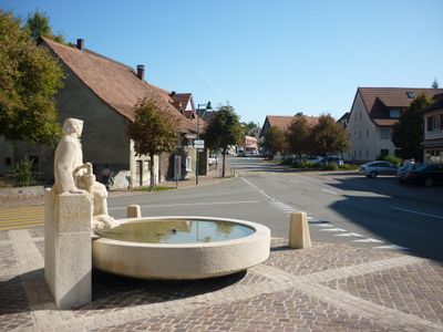
Nunningen, municipality in the canton of Solothurn in Switzerland
Location: Thierstein District
Elevation above the sea: 621 m
Website: http://nunningen.ch
GPS coordinates: 47.39417,7.61944
Latest update: March 2, 2025 23:39
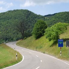
Passwang Pass
4.9 km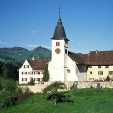
Beinwil Abbey
4.3 km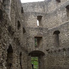
Gilgenberg castle ruin
1.5 km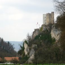
Neu-Thierstein Castle
6.2 km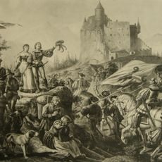
Ruins Ramstein
2.7 km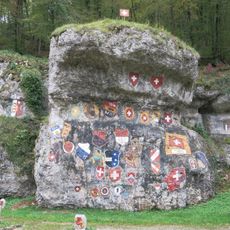
Chessiloch
6.1 km
Vogelberg
5.5 km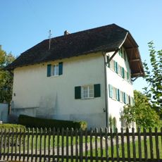
Rectory Oberkirch
779 m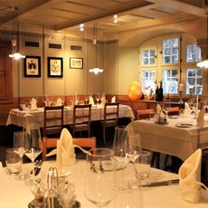
Sun Inn
5.4 km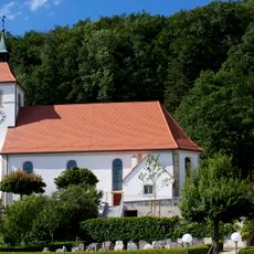
St. Francis Xavier parish church (1807-09)
3.5 km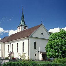
St. Peter and Paul parish church
6.3 km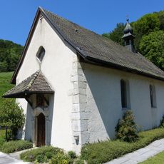
St. John chapel
4.2 km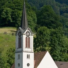
Reformed church
5.5 km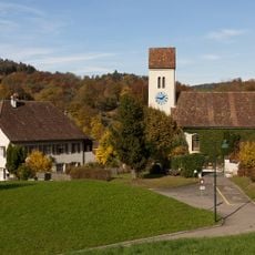
Evangelical reformed church with rectory and outbuildings
2.7 km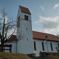
Maria im Hag catholic church
2.5 km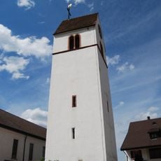
Tower of parish church
6 km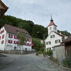
Town hall (1851)
3.5 km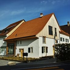
Alte Laterne farmhouse
6 km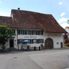
Zum Kreuz Inn
6.4 km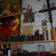
Kirchturmmuseum Büsserach
6 km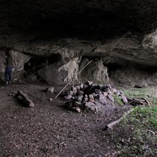
Kastel cave (Paleolithic living cave)
5.3 km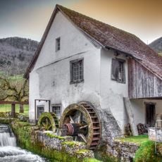
Hammer forge
4.9 km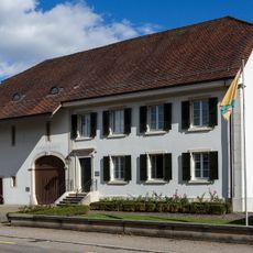
Town hall
5.9 km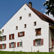
Farmhouse
5.5 km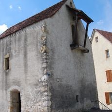
Former tithe barn late Gothic
6.1 km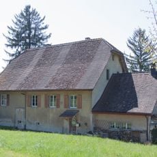
Former provost house Rohr
5.9 km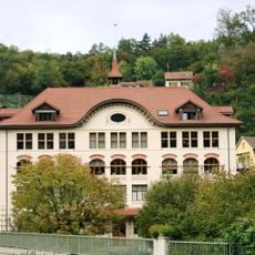
Elementary school building
5.8 km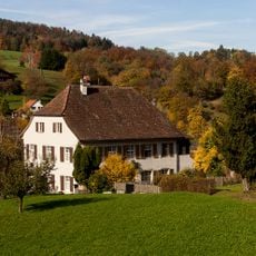
Evangelical Reformed Rectory
2.7 kmReviews
Visited this place? Tap the stars to rate it and share your experience / photos with the community! Try now! You can cancel it anytime.
Discover hidden gems everywhere you go!
From secret cafés to breathtaking viewpoints, skip the crowded tourist spots and find places that match your style. Our app makes it easy with voice search, smart filtering, route optimization, and insider tips from travelers worldwide. Download now for the complete mobile experience.

A unique approach to discovering new places❞
— Le Figaro
All the places worth exploring❞
— France Info
A tailor-made excursion in just a few clicks❞
— 20 Minutes