
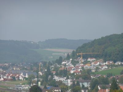
Hedingen, municipality in Switzerland
Location: Affoltern District
Location: Zürich
Elevation above the sea: 501 m
Shares border with: Arni, Jonen
Website: http://hedingen.ch
GPS coordinates: 47.29861,8.44944
Latest update: March 11, 2025 13:57
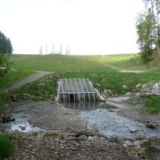
Hochwasserrückhaltebecken Jonenbach
2.8 km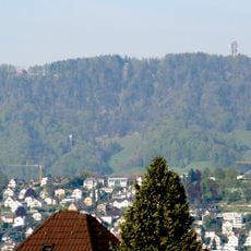
Felsenegg
4.5 km
Baldern, medieval castle site
4.6 km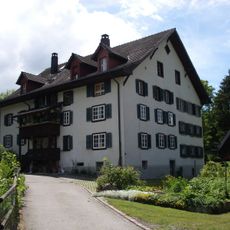
Aeugstertal
3.3 km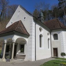
Pilgrimage chapel
2.9 km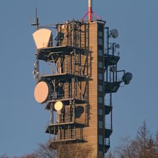
Felsenegg-Girstel TV-tower
4.5 km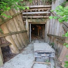
Bergwerk Riedhof
2.8 km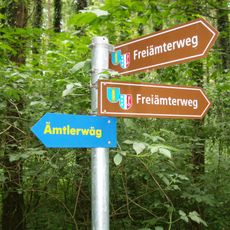
Ämtlerwäg
3.4 km
Josef Affoltern Albis
2.2 km
Sammlungszentrum des Schweizerischen Nationalmuseums
3.3 km
Mauritius Bonstetten ZH
3.4 km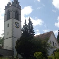
Church of Affoltern am Albis
2.3 km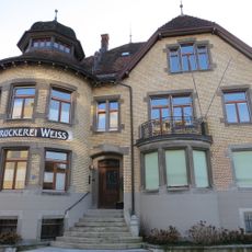
Druckereigebäude Weiss
2.4 km
Johanneskirche Arni
3.2 km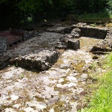
Roman estate
3 km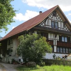
Butzenhaus
2.6 km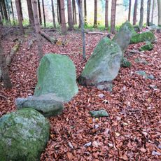
Allmend, Mühliberg, Weidmauer
2.1 km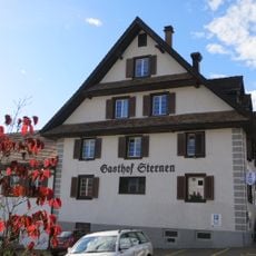
Gasthof zum Sternen
3.3 km
Ottenbach
3.9 km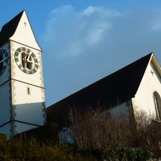
Reformed church with rectory and laundry house
4.4 km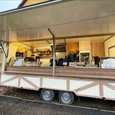
Balderen
4.6 km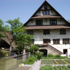
Mill with outbuildings
2.7 km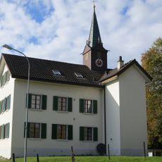
Former schoolhouse and former city hall
3.2 km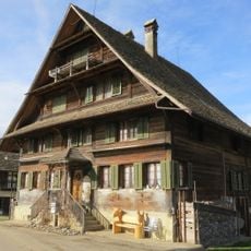
Grüt farmhouse with granary and former washhouse
4.1 km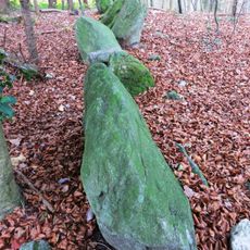
Allmend-Mühliberg, Weidmauer
2 km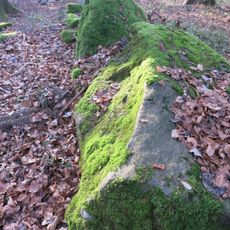
Pasture wall
5 km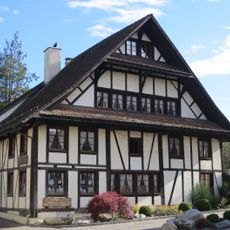
Residential house
3.1 km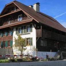
Semi-detached house
3 kmReviews
Visited this place? Tap the stars to rate it and share your experience / photos with the community! Try now! You can cancel it anytime.
Discover hidden gems everywhere you go!
From secret cafés to breathtaking viewpoints, skip the crowded tourist spots and find places that match your style. Our app makes it easy with voice search, smart filtering, route optimization, and insider tips from travelers worldwide. Download now for the complete mobile experience.

A unique approach to discovering new places❞
— Le Figaro
All the places worth exploring❞
— France Info
A tailor-made excursion in just a few clicks❞
— 20 Minutes