
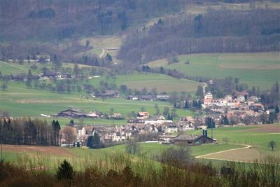
Ehrendingen, municipality in Switzerland
Location: Aargau
Location: Baden District
Elevation above the sea: 448 m
Website: http://www.ehrendingen.ch
Part of: RPV Zurzibiet Regio, RPV Baden Regio
Shares border with: Wettingen, Ennetbaden, Freienwil
Website: http://ehrendingen.ch
GPS coordinates: 47.49952,8.34434
Latest update: April 21, 2025 00:57
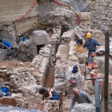
Aquae Helveticae, Roman vicus / medieval / modern city
3.2 km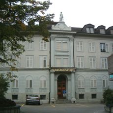
Hotel Verenahof
3.1 km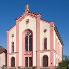
Synagogue
2.6 km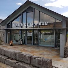
Mammutmuseum Niederweningen
2.6 km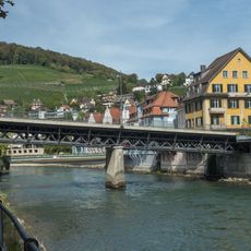
Skew bridge
3.2 km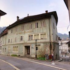
Ochsen hotel
3.2 km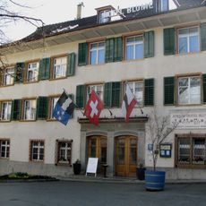
Hotel Blume
3.1 km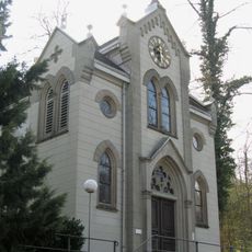
Epiphany chapel in the baths
3.2 km
"Bären" spa hotel
3.1 km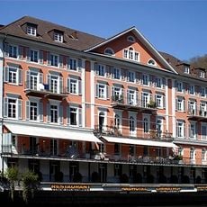
Former spa hotel Limmathof
3.1 km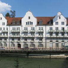
Schwanen
3.1 km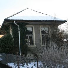
Jewish bathhouse
2.7 km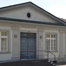
Inhalatorium with Annex
3.2 km
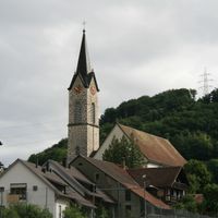
Reformierte Kirche Ehrendingen
575 m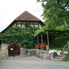
Rote Trotte
3.4 km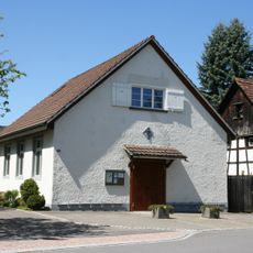
Katholische Kapelle Niederweningen
2.8 km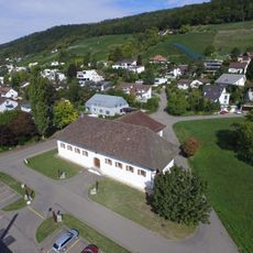
Neutrotte
3.5 km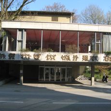
Kurtheater with glass foyer
3.4 km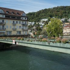
Henri-Mercier-Passarelle
3.1 km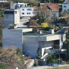
Roman catholic parish church St. Michael with altar and figure of St. Michael
3.1 km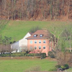
Residential building of the Fährlilee vineyard with barn and washhouse
3.2 km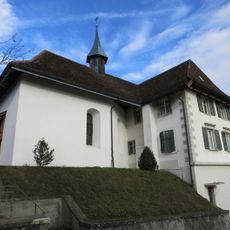
Antonius chapel
2.6 km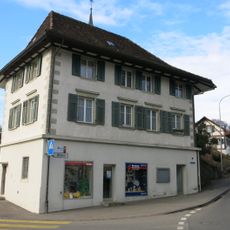
Former schoolhouse of 1813
2.6 km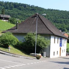
Spital winepress
2.9 km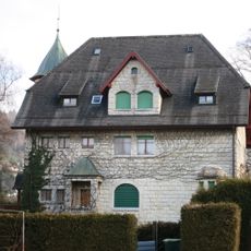
Villa Bucher-Guyer (1906)
2.1 km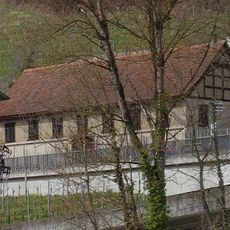
Oederlin winepress
3.1 km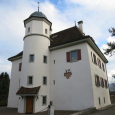
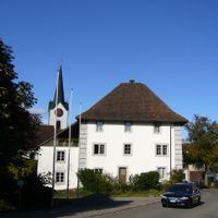
Schlössli
2.6 km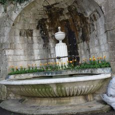
Niche fountain
3.2 kmReviews
Visited this place? Tap the stars to rate it and share your experience / photos with the community! Try now! You can cancel it anytime.
Discover hidden gems everywhere you go!
From secret cafés to breathtaking viewpoints, skip the crowded tourist spots and find places that match your style. Our app makes it easy with voice search, smart filtering, route optimization, and insider tips from travelers worldwide. Download now for the complete mobile experience.

A unique approach to discovering new places❞
— Le Figaro
All the places worth exploring❞
— France Info
A tailor-made excursion in just a few clicks❞
— 20 Minutes