
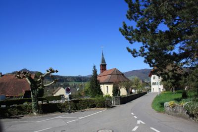
Holderbank, municipality in the canton of Aargau, Switzerland
Location: Lenzburg District
Elevation above the sea: 365 m
Part of: RPV Lebensraum Lenzburg Seetal
Website: http://holderbank.ch
GPS coordinates: 47.43306,8.16806
Latest update: March 5, 2025 07:34
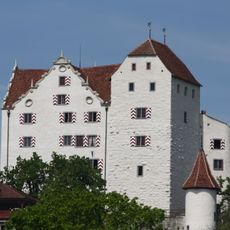
Wildegg Castle
1.4 km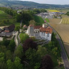
Wildenstein Castle
913 m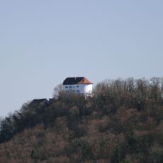
Chestenberg
2.2 km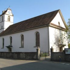
Reformed church with Erlach chapel
2.4 km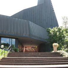
Catholic church building St. Antonoius
1.9 km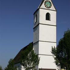
Evangelical reformed church
2.5 km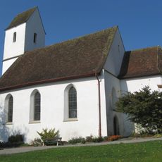
Reformierte Kirche Auenstein
2.8 km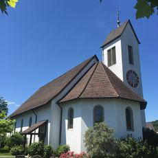
Reformed church
2.3 km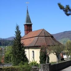
Evangelical-Reformed Church and Rectory
178 m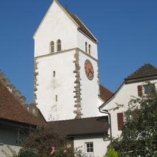
Evangelical Reformed Parish Church
1.7 km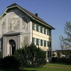
Gravesite of Heinrich Pestalozzi
2.6 km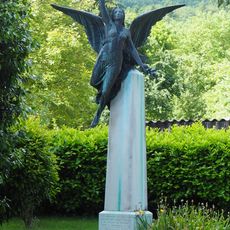
Bourbaki monument
2.6 km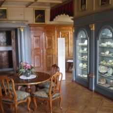
Collection of Wildegg Castle
1.4 km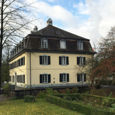
Laué house and garden pavilions
1.8 km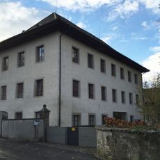
Manufactory Laué
1.8 km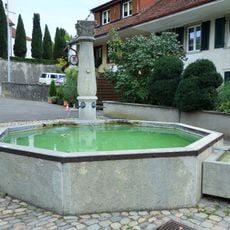
Village fountain
2.4 km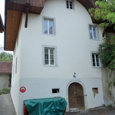
Former hospital
2.5 km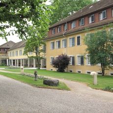
Jenner buildings and round building
2.8 km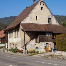
Former tithe house
2.8 km
House (1677)
2.4 km
Former upper mill
2.5 km
So-called Pfaffenhaus (1650)
1.7 km
Evangelical-reformed parsonage
149 m
Former Untervogtei
2.5 km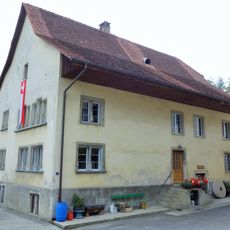
Former middle mill
2.5 km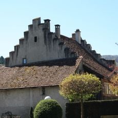
So-called Pfaffenhaus (1648)
1.7 km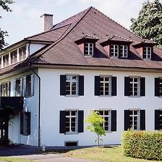
Neuhof manor house
3.1 km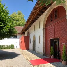
So called Masséna barn
2.8 kmReviews
Visited this place? Tap the stars to rate it and share your experience / photos with the community! Try now! You can cancel it anytime.
Discover hidden gems everywhere you go!
From secret cafés to breathtaking viewpoints, skip the crowded tourist spots and find places that match your style. Our app makes it easy with voice search, smart filtering, route optimization, and insider tips from travelers worldwide. Download now for the complete mobile experience.

A unique approach to discovering new places❞
— Le Figaro
All the places worth exploring❞
— France Info
A tailor-made excursion in just a few clicks❞
— 20 Minutes