
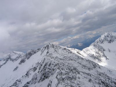
Cima dello Stagn, mountain
Location: Grono
Location: Roveredo
Location: Dosso del Liro
Elevation above the sea: 2,382 m
GPS coordinates: 46.20841,9.20229
Latest update: March 8, 2025 04:03
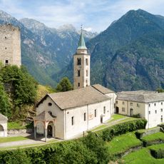
Church of St. Mary of the Assumption and parish house (old convent)
7.4 km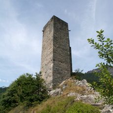
Sta. Maria Castle
7.4 km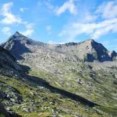
Pizzo Paglia
2.9 km
Norantola Castle
8.6 km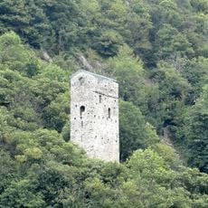
Pala Castle
8.2 km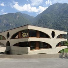
Grono school building
6.1 km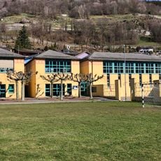
Scuola elementare Castaneda
7.2 km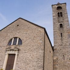
Chiesa cattolica di San Giulio, Roveredo
6.9 km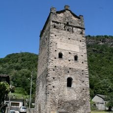
Torre Fiorenzana
6.1 km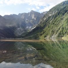
Pizzo Campanile
4.3 km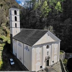
Madonna del Ponte chiuso
6.1 km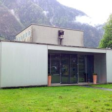
Evangelisches Kirchgemeindezentrum Grono
6 km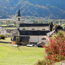
Chiesa cattolica di SS Giovanni e Vittore
7.9 km
Torre di Beffan
6.4 km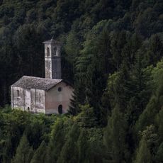
San Pietro in Costa church
8.6 km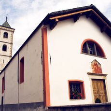
Chiesa Sant’Antonio, Roveredo
6.4 km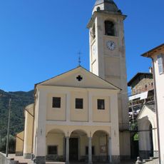
Santissima Annunziata church
7.5 km
San Martino church
8.5 km
Sasso Bodengo
4.6 km
Santuario della Beata Vergine Maria e Mezza Cresta
8.1 km
Chiesa di San Jorio
5.8 km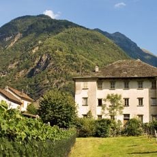
Palazzo Comacio, Roveredo
7 km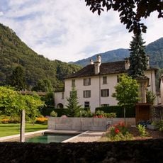
Palazzo Toveda, Roveredo
6.4 km
Casa Tenchio, Roveredo
6.5 km
Casa Nicola, Roveredo
6.4 km
Casa Gabrieli, Roveredo
6.6 km
Piz Cavregasco
6.7 km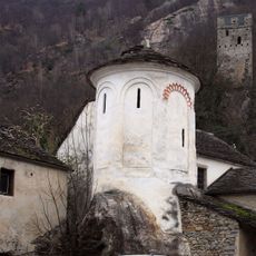
Cappella di San Lucio
8.2 kmReviews
Visited this place? Tap the stars to rate it and share your experience / photos with the community! Try now! You can cancel it anytime.
Discover hidden gems everywhere you go!
From secret cafés to breathtaking viewpoints, skip the crowded tourist spots and find places that match your style. Our app makes it easy with voice search, smart filtering, route optimization, and insider tips from travelers worldwide. Download now for the complete mobile experience.

A unique approach to discovering new places❞
— Le Figaro
All the places worth exploring❞
— France Info
A tailor-made excursion in just a few clicks❞
— 20 Minutes