
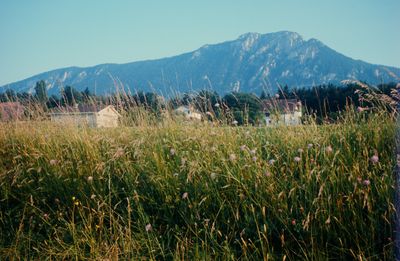
Balmfluechöpfli, mountain in Switzerland
Location: Lebern District
Elevation above the sea: 1,290 m
GPS coordinates: 47.25321,7.53976
Latest update: March 3, 2025 02:03
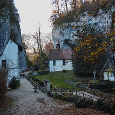
Saint Verena hermitage and sanctuary
3.1 km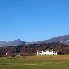
Waldegg Castle with gardens and outbuildings
3.4 km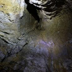
Nidlenloch
4.2 km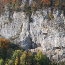
Balm ruins
1.2 km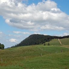
Röti
1 km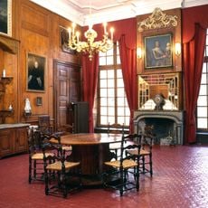
Blumenstein Museum
4.1 km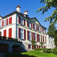
Blumenstein Castle
4.1 km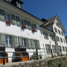
Weissenstein Spa House
2.3 km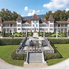
Waldegg Castle
3.4 km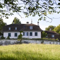
Country estate Glutzenhübeli
4.2 km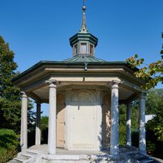
Gloriette Villa Hohenlinden
3.8 km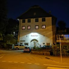
Angel Inn
3.8 km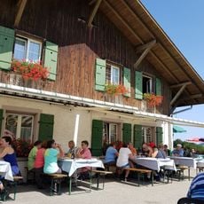
Hinterer Brandberg
4.5 km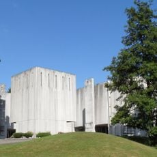
Ecumenical church center
3.9 km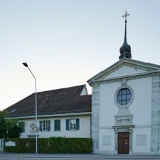
Chapel and beneficiary house of St. Katharinen
4.2 km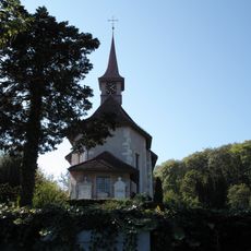
St. Niklaus catholic church with surrounding grave monuments
3.7 km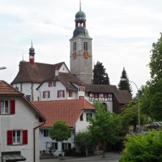
Parish and pilgrimage church
3.8 km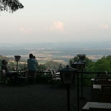
Restaurant Glutzenberg
2.7 km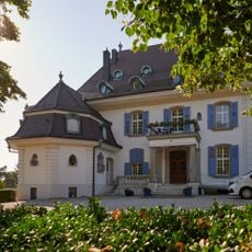
Villa Hohenlinden with Gloriette
3.8 km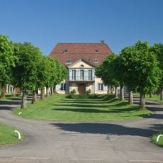
Koch Villa
4.2 km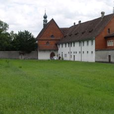
Kloster Namen Jesu
4.4 km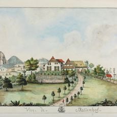
Mattenhof manor house
3.9 km
Waldegghof with granary
3.8 km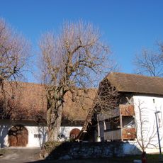
Granary Waldegghof
3.8 km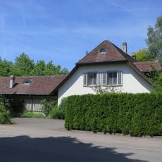
Residential house
4 km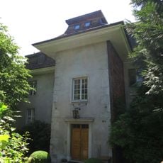
Kully House
4.3 km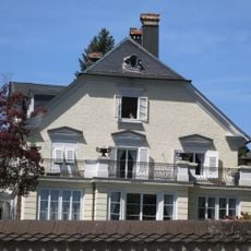
Fegetzhof
4.1 km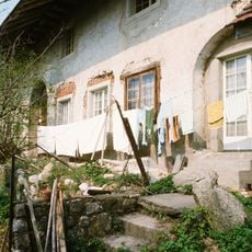
Egghof, former Gasthaus zum Einhorn
4.3 kmReviews
Visited this place? Tap the stars to rate it and share your experience / photos with the community! Try now! You can cancel it anytime.
Discover hidden gems everywhere you go!
From secret cafés to breathtaking viewpoints, skip the crowded tourist spots and find places that match your style. Our app makes it easy with voice search, smart filtering, route optimization, and insider tips from travelers worldwide. Download now for the complete mobile experience.

A unique approach to discovering new places❞
— Le Figaro
All the places worth exploring❞
— France Info
A tailor-made excursion in just a few clicks❞
— 20 Minutes