
Höhensiedlung, archaeological site in Berg am Irchel, Switzerland
Location: Berg am Irchel
Location: Zürich
GPS coordinates: 47.57199,8.57876
Latest update: March 3, 2025 02:25

Irchel
1.6 km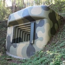
Fort Ebersberg
522 m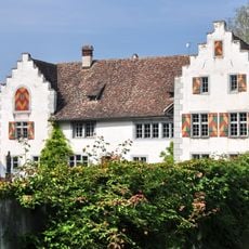
Flaach Castle
2 km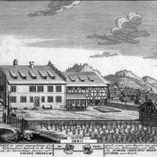
Schloss Berg am Irchel
1.6 km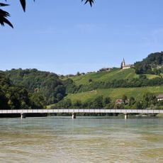
Rheinbrücke Rüdlingen
451 m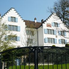
Schloss Eigenthal
2 km
Tössegg
2.9 km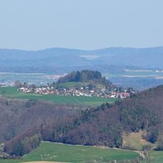
Hurbig
1.3 km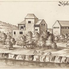
Burgstelle Schollenberg
724 m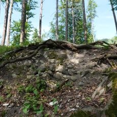
Medieval castle site
1.8 km
Burgstelle Schlossbuck
840 m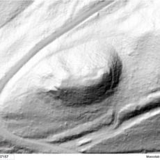
Burgstelle Altenteufen
2.5 km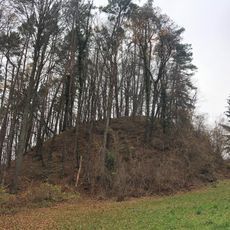
Burgstelle Radegg
1.4 km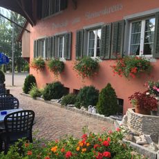
Steinenkreuz
1.6 km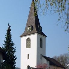
Reformierte Kirche Berg am Irchel
1.5 km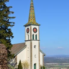
Church of Buchberg
952 m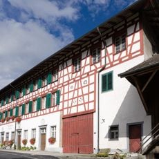
Obermühle mit Nebenbauten
2.5 km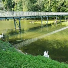
Tössegg-Steg
2.9 km
Burgstelle Hebelstein
2 km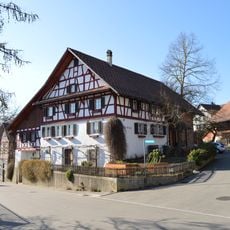
Felsenburg Buchberg
1.4 km
Pfarrhaus Buchberg
994 m
Keltenwall Murkathof Buchberg
1.8 km
Baugruppe Gupfe Buchberg
1.5 km
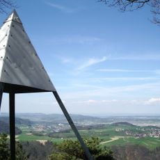
Ebersberg, Berg am Irchel
30 m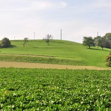
Chrumben
1.7 km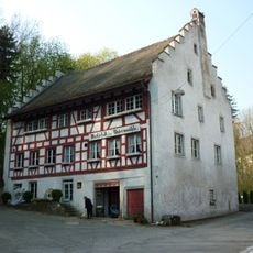
Untermühle mit Nebengebäuden, Radhaus und Mühlekanal
1.9 km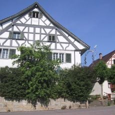
Gasthof Rebstock
957 m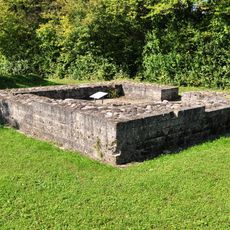
Tössegg-Schlössliacker
2.9 kmReviews
Visited this place? Tap the stars to rate it and share your experience / photos with the community! Try now! You can cancel it anytime.
Discover hidden gems everywhere you go!
From secret cafés to breathtaking viewpoints, skip the crowded tourist spots and find places that match your style. Our app makes it easy with voice search, smart filtering, route optimization, and insider tips from travelers worldwide. Download now for the complete mobile experience.

A unique approach to discovering new places❞
— Le Figaro
All the places worth exploring❞
— France Info
A tailor-made excursion in just a few clicks❞
— 20 Minutes