
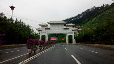
Maotai, town in Guizhou, People's Republic of China
Location: Renhuai
Elevation above the sea: 453 m
GPS coordinates: 27.85453,106.36753
Latest update: April 2, 2025 07:45

China Danxia
70.7 km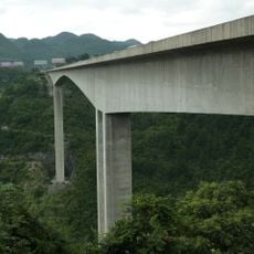
Liuguanghe Bridge
96.8 km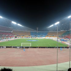
Guiyang Olympic Sports Center
139.4 km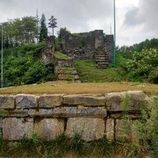
Hailongtun Castle
44.5 km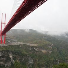
Yachi River Bridge
114.3 km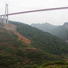
Qingshui River Bridge
122.5 km
Site of Zunyi Conference
57 km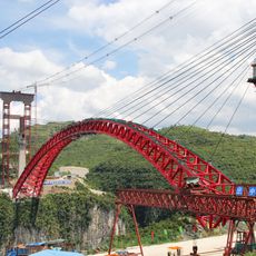
Najiehe Railway Bridge
129.9 km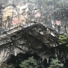
Zhijin Cave
129.4 km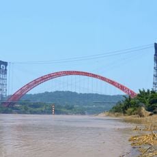
Bosideng Bridge
125 km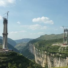
Liuchonghe Bridge
125.9 km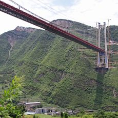
Chishuihe Bridge Chajiaotan
42.1 km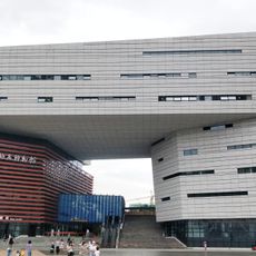
Geological Museum of Guizhou
138.6 km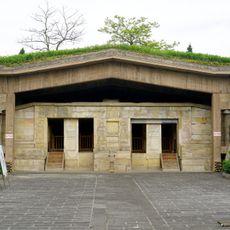
杨粲墓
62.5 km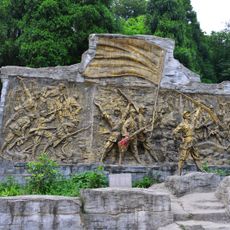
红军四渡赤水战役旧址
59.4 km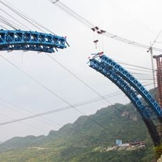
Yachi Railway Bridge
108.2 km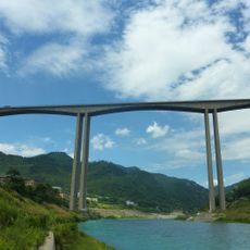
Wujiang Viaduct
72.3 km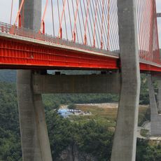
Liuguanghe Xiqian Expressway Bridge
86.9 km
Jiangjiehe Bridge
116.7 km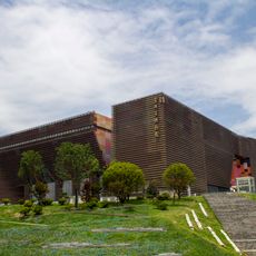
Guizhou Provincial Museum
136.7 km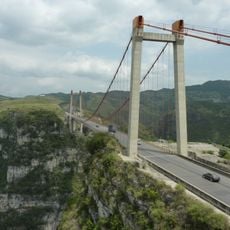
Xixi Bridge
107.2 km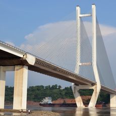
Tai'an Yangtze River bridge
140 km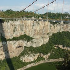
Luojiao River Bridge
109.5 km
Hejiang Yangtze River Highway Bridge
120.1 km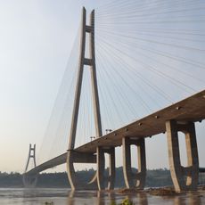
Huangyi Yangtze River bridge
140.4 km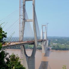
Kangbo Yangtze River bridge
125 km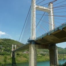
Zunyi Bridge
73.1 km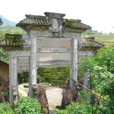
紅光牌坊
136 kmReviews
Visited this place? Tap the stars to rate it and share your experience / photos with the community! Try now! You can cancel it anytime.
Discover hidden gems everywhere you go!
From secret cafés to breathtaking viewpoints, skip the crowded tourist spots and find places that match your style. Our app makes it easy with voice search, smart filtering, route optimization, and insider tips from travelers worldwide. Download now for the complete mobile experience.

A unique approach to discovering new places❞
— Le Figaro
All the places worth exploring❞
— France Info
A tailor-made excursion in just a few clicks❞
— 20 Minutes