
七叉镇, gemeente in Autonome Li Prefectuur Changjiang, Volksrepubliek China
Location: Changjiang Li Autonomous County
GPS coordinates: 19.11634,109.04668
Latest update: May 8, 2025 12:53
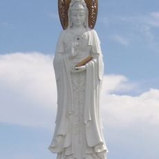
Guanyin of Nanshan
93.3 km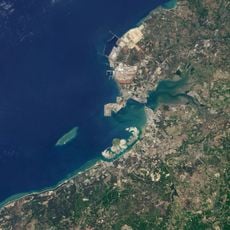
Ocean Flower Island
62.5 km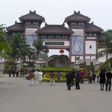
Nanshan Temple
92 km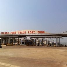
Yangpu Economic Development Zone
9.5 km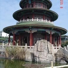
Tomb of Hai Rui
164.1 km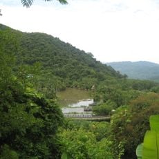
Yanoda
96.6 km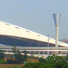
Wuyuan River Stadium
158.8 km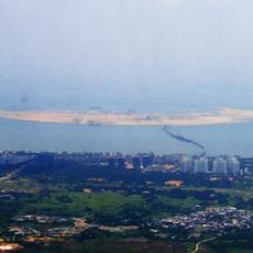
Nanhai Pearl Artificial Island
163.7 km
Yangpu Ancient Salt Field
71.7 km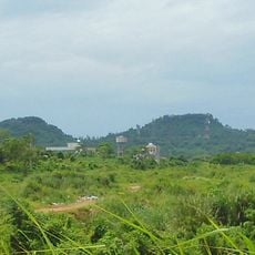
Haikou Volcanic Cluster Global Geopark
152.9 km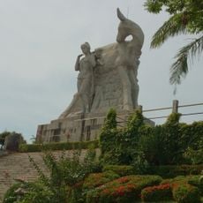
Luhuitou Park
113 km
Songtao Shuiku
70.7 km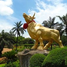
Golden Bull Mountain Ridge Park
166 km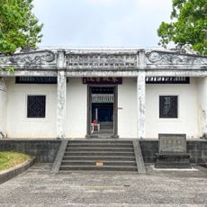
Dongpo Academy
76.7 km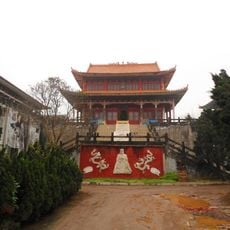
Haikou Yazhou Gu Cheng
166.5 km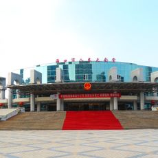
Haikou Great Hall of the People
166.6 km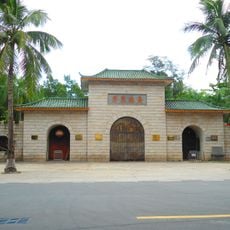
Xiuying Fort
166.4 km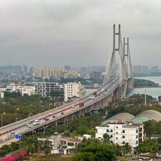
Danzhou Yangpu Bridge
69.7 km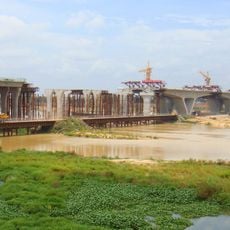
Dinghai Bridge
147.3 km
Niululing Shuiku
121.5 km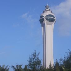
Bo'ao Lighthouse
161.9 km
Li'an Ocean Harbor Theme Park
129.8 km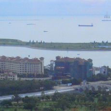
Hulu Island
166.8 km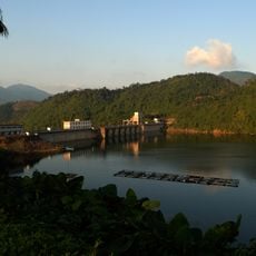
Niululing Dam
121.5 km
Yangjiang (kapital sa baranggay sa Republikang Popular sa Tsina, Hainan Sheng, lat 19,10, long 110,34)
136.4 km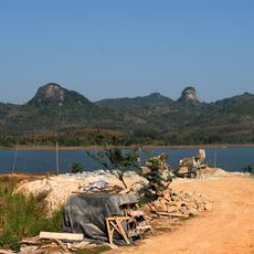
Gongmu Shuiku
140 km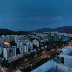
Tiandu
108.5 km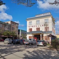
Tayang (kapital sa baranggay sa Republikang Popular sa Tsina, Hainan Sheng, lat 19,29, long 110,50)
154.5 kmReviews
Visited this place? Tap the stars to rate it and share your experience / photos with the community! Try now! You can cancel it anytime.
Discover hidden gems everywhere you go!
From secret cafés to breathtaking viewpoints, skip the crowded tourist spots and find places that match your style. Our app makes it easy with voice search, smart filtering, route optimization, and insider tips from travelers worldwide. Download now for the complete mobile experience.

A unique approach to discovering new places❞
— Le Figaro
All the places worth exploring❞
— France Info
A tailor-made excursion in just a few clicks❞
— 20 Minutes