倮波乡, Gemeinde in China
Location: Muli Tibetan Autonomous County
GPS coordinates: 28.31861,101.60602
Latest update: March 7, 2025 01:03
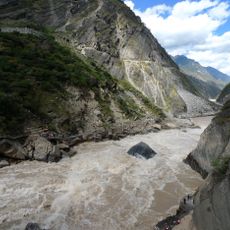
Tiger Leaping Gorge
188.5 km
Jinping-I Hydropower Station
15.4 km
Yading
130.7 km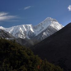
Mount Gongga
144.6 km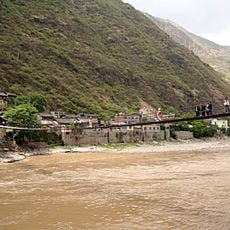
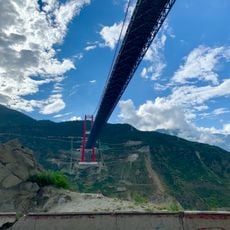
Luding Bridge
187.7 km
Ganden Sumtseling Monastery
193.5 km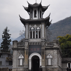
St. Anne's Church, Moxi
156 km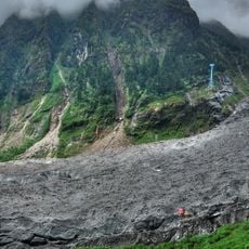
Hailuogou Glacier
142.9 km
Baishuitai
179.1 km
Haba Xueshan
184.7 km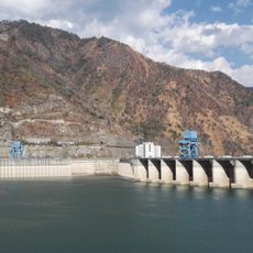
Ertan Dam
167.6 km
Luding Yaye Expressway Bridge
192.6 km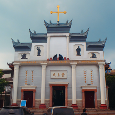
Cathedral of the Angels, Xichang
79.9 km
Luobin Shan
112.9 km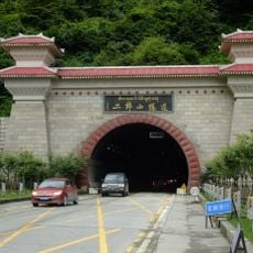
Mount Erlang
184.7 km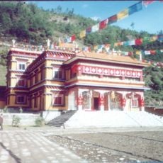
Chöling Monastery
125.7 km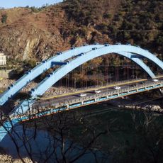
Luoguo bridge
192 km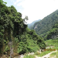
Dafengding Nature Reserve
166.8 km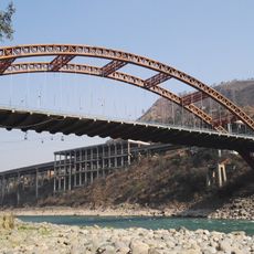
Fala bridge
192.7 km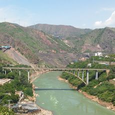
Xinzhuang bridge
193 km
Baodin bridge
191.7 km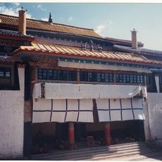
Muli Monastery
76 km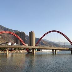
迷昜湖大桥
166.6 km
Pangphuk Gön
177.9 km
Pu Dacu Manjusri Temple
168.1 km
Gonggar Mountain
144.5 km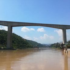
Qinglongshan Bridge
191.8 kmReviews
Visited this place? Tap the stars to rate it and share your experience / photos with the community! Try now! You can cancel it anytime.
Discover hidden gems everywhere you go!
From secret cafés to breathtaking viewpoints, skip the crowded tourist spots and find places that match your style. Our app makes it easy with voice search, smart filtering, route optimization, and insider tips from travelers worldwide. Download now for the complete mobile experience.

A unique approach to discovering new places❞
— Le Figaro
All the places worth exploring❞
— France Info
A tailor-made excursion in just a few clicks❞
— 20 Minutes