
扎库齐牛录乡, Gemeinde in China
Location: Qapqal Xibe Autonomous County
GPS coordinates: 43.80413,81.24827
Latest update: April 26, 2025 18:55
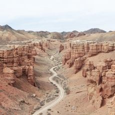
Charyn Canyon
180.8 km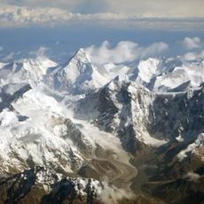
Khan Tengri
197.7 km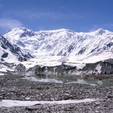
Jengish Chokusu
217.1 km
Altyn-Emel National Park
197.6 km
Dzungarian Gate
195.4 km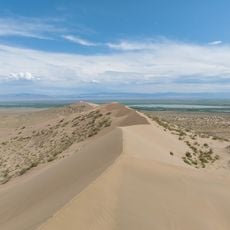
Natural Monument «Singing barchans»
215.4 km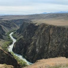
Charyn National Park
182.8 km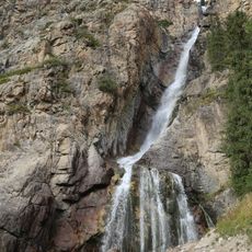
Burhan-bulak falls
210.4 km
Zhongar-Alatau National Park
165.8 km
Zharkent mosque
107.7 km
Xinjiang Tianshan
123.5 km
Bartogay Lake
227.3 km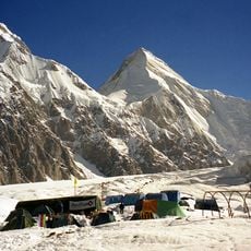
Engil'chek Glacier
215 km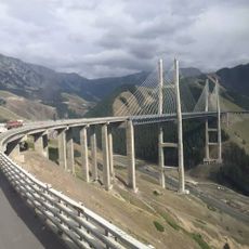
Guozigou Bridge
74.7 km
Gedenktafel an die Bezwingung des Khanats der Dsungaren
112.9 km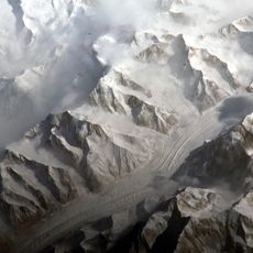
Xuelian Feng
174.1 km
Natural Monument "Charyn ash forest"
155.3 km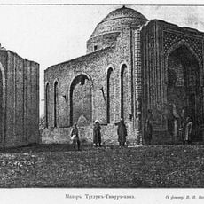
Tughluq Timur Mausoleum
75 km
Lednik Semjonova
191.4 km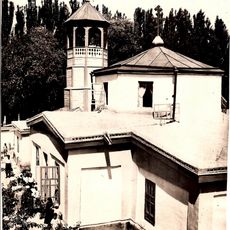
St. Nicholas Church
14.8 km
Pik Nansena
226.5 km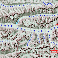
Lednik Kaindy
230.4 km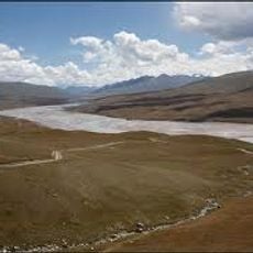
Peshchera Akchunkur
215.1 km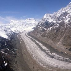
Lednik Komsomolets
214.7 km
Pik Voennizh Topografov
211.2 km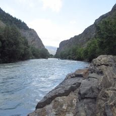
Verkhnekoksu State Zoological Nature Sanctuary
163.8 km
Lednik Zvëzdochka
213.1 km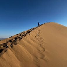
Singing dune
215.1 kmReviews
Visited this place? Tap the stars to rate it and share your experience / photos with the community! Try now! You can cancel it anytime.
Discover hidden gems everywhere you go!
From secret cafés to breathtaking viewpoints, skip the crowded tourist spots and find places that match your style. Our app makes it easy with voice search, smart filtering, route optimization, and insider tips from travelers worldwide. Download now for the complete mobile experience.

A unique approach to discovering new places❞
— Le Figaro
All the places worth exploring❞
— France Info
A tailor-made excursion in just a few clicks❞
— 20 Minutes